


Knowing there are previous weak layers and the fact that we just added significant water weight coupled with wind, there was no choice but to let things settle a bit before getting onto steep slopes. Our plan was to go out and cover as much terrain as possible paying close attention to what the old weak snow is like now. We started by skiing a bed surface of a natural avalanche that ran in South Monitor during the storm. This slope was steep but we had no concerns since it had already slid. We were able determine that the avalanche failed above a crust which is just above the early December facets.
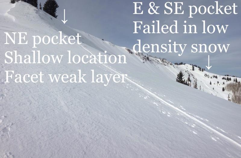
We then viewed a natural avalanche, actually two, in West Monitor. The northeast facing pocket failed in a shallow snowpack location (repeater). The east and southeast pockets broke above the early December facets just like South Monitor did.
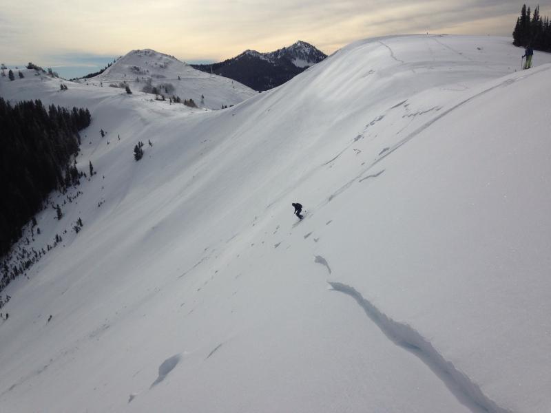
We then went and looked at the very wide human triggered avalanche in West Willow. I thought for sure this would've failed in the old facets but to my surprise, it failed above the early December facets and crust above that. There was about a foot of snow left on the bed surface with the crust easily identified.
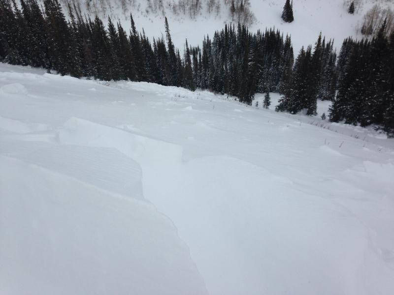
We traveled through Bear Trap and into Mill D North where we viewed a couple of natural avalanches that ran during the storm on the West Desolation ridgeline. We did not get onto these avalanches but the shallow nature of the crowns leads me to think that these also failed above the early December facets/crust combo.
I got an ECT test to propagate at 22 in this layer as well. It was stubborn but clean. I looked carefully to see what the weak layer was. I could only identify broken particles within last week's lower density snow as the weak layer.
My take home from today was I was surprised that the early December facets were not more reactive and that the majority of the avalanches I looked at failed in last week's lower density snow rather than the early December facets. The other thing noteworthy is that the shallow locations continue to hold very weak snow near the ground.