Observation Date
3/19/2025
Observer Name
Champion & Miller
Region
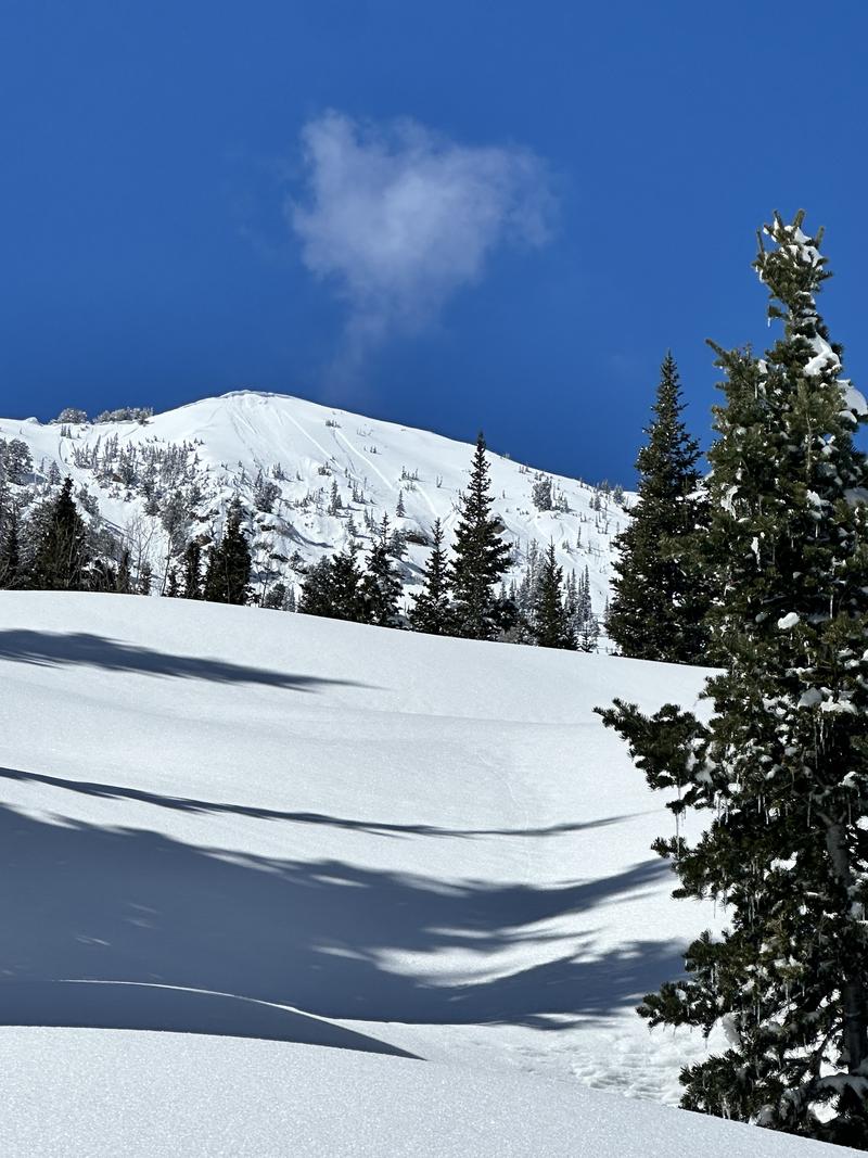
Salt Lake » Big Cottonwood Canyon » Cardiff Fork » Georges Bowl
Location Name or Route
Georges
Comments
Primarily went out today to see how the new snow was behaving, assess the wind effect, and observe how the warming would impact the snow. My biggest takeaway was how quickly the strong sun affected the snow surface—it happened faster than I expected.
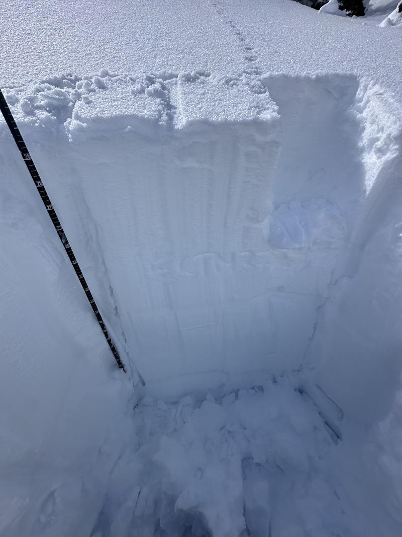
We dug into the snowpack on an east aspect at 9,400' and found an overall snow depth of 296 cm. We performed an ECT in the upper half of the snowpack and saw no propagation within the new snow or any density changes. The only result was an ECTN27 at the interface between the most recent new snow and the old snow, about 24" down.
We noted some recent new snow avalanches on most aspects, but they seemed to have occurred during peak instability during the storm. Otherwise, many lines had been skied, with only a few small, soft slabs of new snow being triggered. We didn’t see anything failing deeper within Cardiff Fork. I think the PWL has finally entered a period of dormancy. We have put a few large loads on it, and it seems to be handling it all well.
The snow surface took on a surprising amount of heat, especially given that temperatures didn’t climb that high. In the Georges zone, expect a crust on almost all aspects except true north by morning.
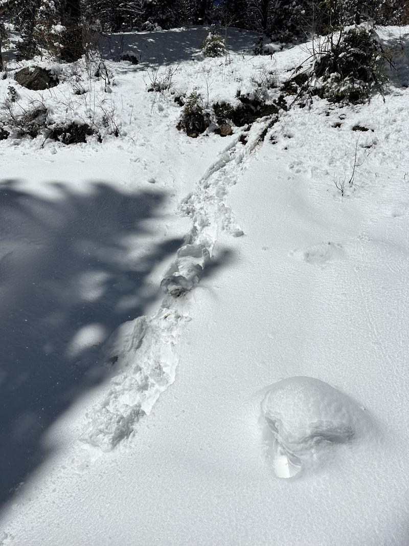
Rollerballs/Damp snow surface down low
New snow avalanches likely occured Tuesday
ECTN27 - 9400' - East Aspect - Georges - Deep impressive snowpack
Today's Observed Danger Rating
Moderate
Tomorrows Estimated Danger Rating
Moderate
Coordinates


