Donate to Our Spring Campaign or Bid on our Spring Auction to Support Forecasting

Observation: North Goup

Observation Date
3/19/2025
Observer Name
Ryan Huels
Region
Moab » North Goup
Location Name or Route
Waas SW Bowl
Weather
Sky
Clear
Wind Speed
Light
Weather Comments
Morning was cold and overcast with low clouds over the high peaks with light/moderate winds out of the NW. Around 1100 clouds broke, the sun came out and the winds eased off. It remained cold through the day even with the sun out. Seemed like temps were in the teens/twenties. Cloudy and partly cloudy with colder temps through Saturday and then a big warming trend where temps will get close to the 50s up high by next weekend
Snow Characteristics
New Snow Depth
12"
New Snow Density
Medium
Snow Surface Conditions
Powder
Melt-Freeze Crust
Damp
Snow Characteristics Comments
A sleeper storm with around a foot of new snow and I found excellent conditions on SW, E and N facing aspects. SW facing aspects did warm when the sun came out in the afternoon so expect a slight crust on anything solar tomorrow. Temps did stay cold so it may not be a super hard melt/freeze crust, but areas that were previously in the sun did form an easily breakable crust when they became covered by shadows from trees with the cold temps. Snow on upper elevations E-NE-N remained cold all day even down into mid elevations at 10000'. Northerlies will have the coldest, lightest snow tomorrow.
Red Flags
Red Flags
Wind Loading
Cracking
Poor Snowpack Structure
Red Flags Comments
Winds from the W/NW loaded leeward slopes with this storm so be on the lookout for wind drifts. PWL still present, primarily on the northern half of the compass but I am personally treating W and E facing slopes with the same respect and staying off terrain >30 in these areas until things look different in the snowpack.
Avalanche Problem #1
Problem
Wind Drifted Snow
Trend
Same
Problem #1 Comments
Wind switches to SW tonight and with cold temps today, wind transport will likely still be occurring through tomorrow.
Avalanche Problem #2
Problem
Persistent Weak Layer
Trend
Same
Problem #2 Comments
Layers of weak, faceted snow still sit below the surface of our march snowfall primarily on northern aspects. If you dig down you will find them. They can even be found on W and E aspects. There is a large load on top from all the recent snow this month and it may just take the right trigger. Things may start to improve with warming temperatures and consolidation of the snowpack.
Snow Profile
Aspect
Southwest
Elevation
11,200'
Slope Angle
26°
Comments
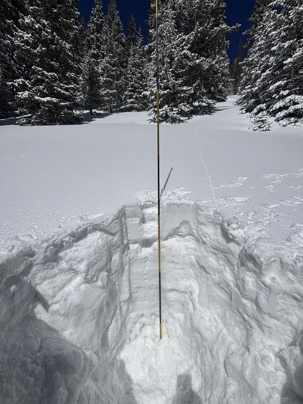
SW facing pit at 11200'. Consolidating into a dense mass of snow with evedence of tunneling at the base of the snowpack from snowmelt. One layer of concern is just below the upper most melt/freeze crust that sits on top of the storm from this past weekend. There is weak snow below this crust. However, both of the knife hard crusts on this SW aspect are very hard and require some work to break though with a shovel and probe. Did not perform any stability tests today.
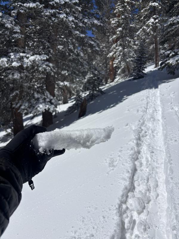
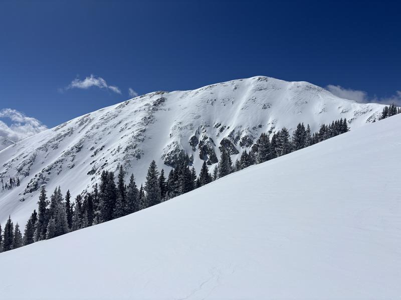
A variety of snow surfaces you may encounter near, at and above treeline. Very hard windblown snow at ridge tops and on W/NW aspects, a breakable and somewhat soft wind board on leeward sides of ridges from the previous W/NW wind. And, melt/freeze crusty that formed today on a SW aspect in an area that was in the sun and then went into shade from trees.
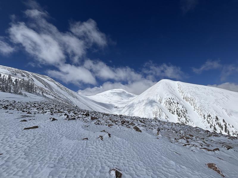
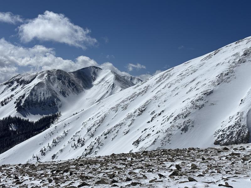
While looking beautiful, big East facing terrain I am avoiding being on or below in run out zones.
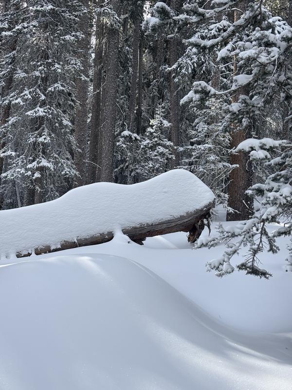
Impressive looking snow totals in the trees at 10500'.
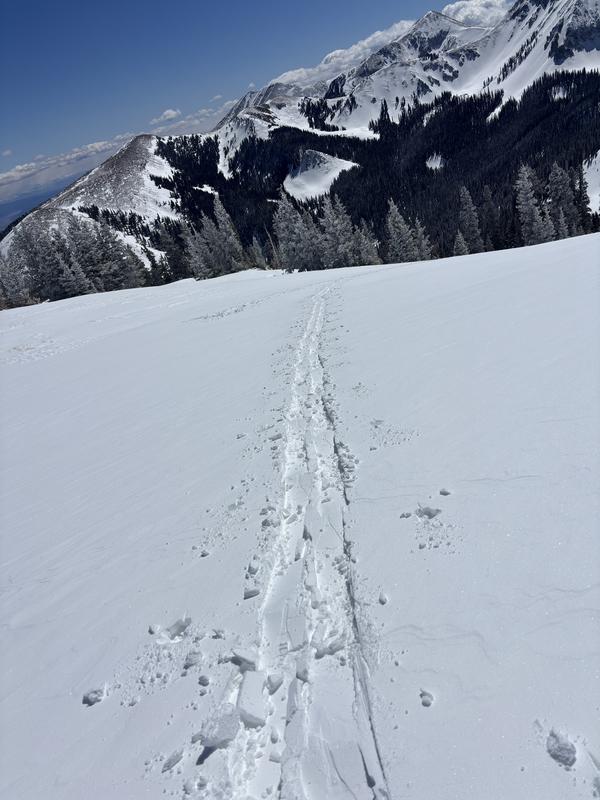
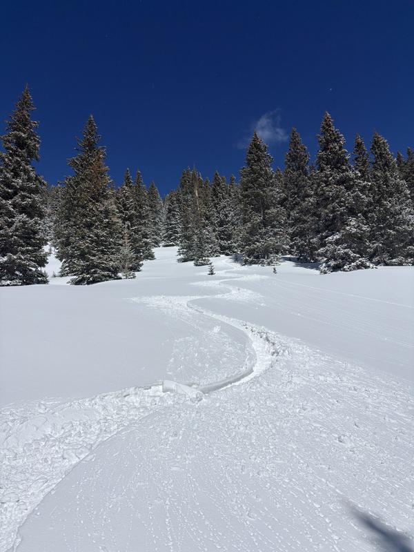
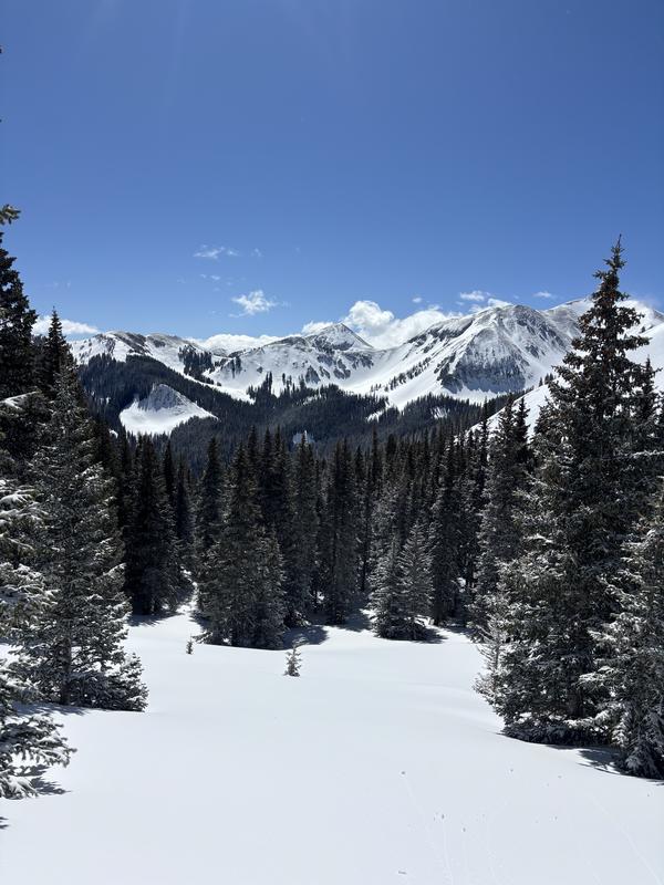
Great conditions and beautiful views in the mountains nearing the end of march before a major warming trend.
Some very cool rime at treeline
Today's Observed Danger Rating
Moderate
Tomorrows Estimated Danger Rating
Moderate
Snow Pilot URL