Observation Date
3/14/2025
Observer Name
Champion & Talty
Region
Salt Lake » Parleys Canyon » Lambs Canyon
Location Name or Route
Lambs Canyon
Comments
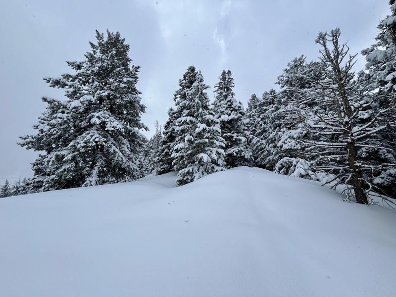
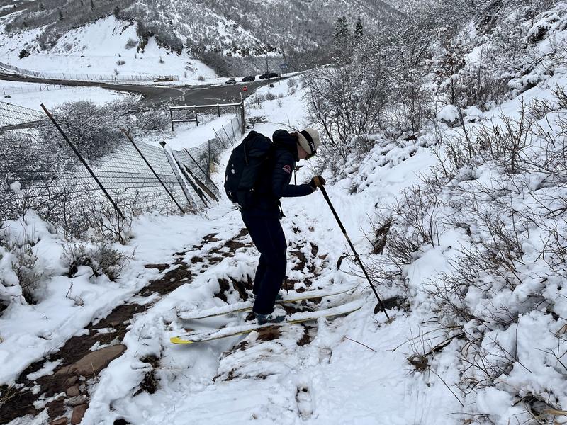
We traveled in Lambs Canyon today to see how the new snow was behaving and to investigate the two PWLs outlined in the avalanche forecast. The trailhead had 3–4 inches of new snow, while we found 10–12 inches at mid-elevations, which had fallen on a stout crust. No new avalanches were observed, and the new snow seemed to be right-side up.
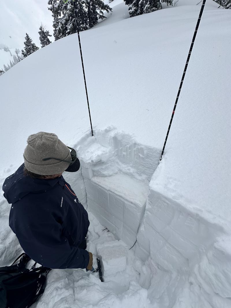
We dug a pit on a northeast slope at 8,000 feet, where we found a thin layer of facets below the dust layer, 45 cm beneath the surface (ECTN16), and our early-season weak snow 110 cm down. Snow depths varied significantly with elevation and aspect in this zone, so we targeted a deeper, colder slope for our pit.
While we found a generally poor snowpack structure, all of the faceted snow showed signs of rounding. It seems like it would take a very large load to impact the facets near the ground, even in shallower snowpacks like Lambs.
Moving into the weekend, wind will likely be the key player in these zones. A bit more of a slab, and the wind-drifted snow will be sensitive on top of the supportable crust, making it more likely to step down into the facets below the dust crust interface.
Snowpit on a NE slope at 8000'
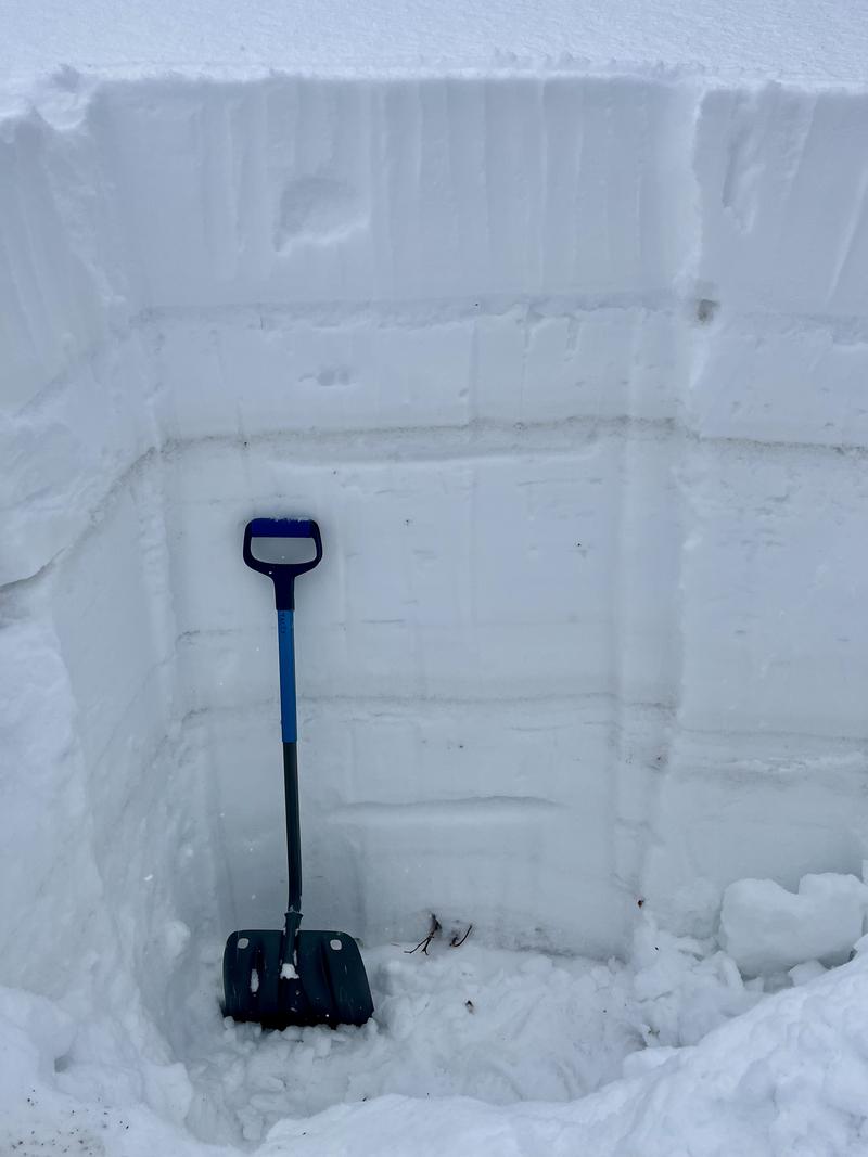
ECTN16 down on crust dust interface
New storm snow
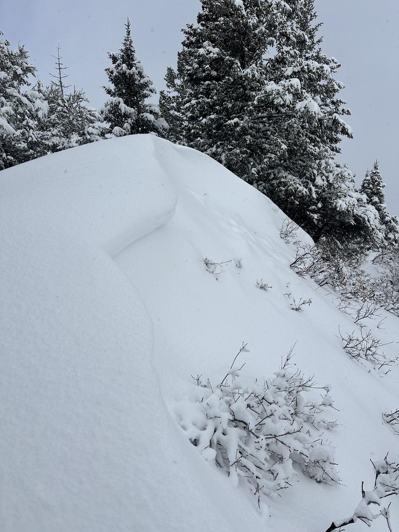
Clues of some wind during the storm - E aspect - 8000'
Price of entry at lower elevations
Today's Observed Danger Rating
None
Tomorrows Estimated Danger Rating
None
Coordinates


