Observation: Georges Bowl

Observation Date
2/11/2025
Observer Name
Champion & Talty & Whittaker & Bergstorm
Region
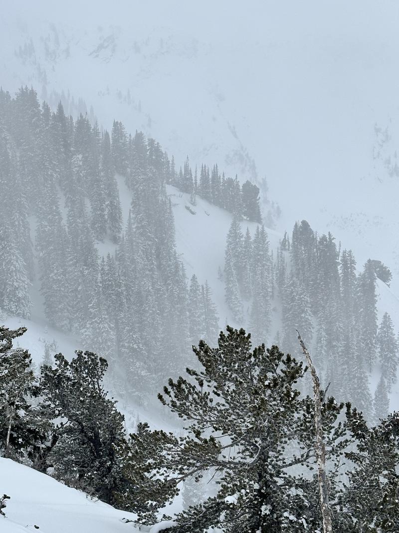
Salt Lake » Big Cottonwood Canyon » Cardiff Fork » Georges Bowl
Location Name or Route
Georges Bowl
Weather
Sky
Overcast
Precipitation
Light Snowfall
Wind Direction
Southwest
Wind Speed
Light
Weather Comments
Temperatures steadily dropped throughout the tour. Light snowfall continued the entire time, never more than S-1. Visibility was poor—we’d catch glimpses across Cardiff or Mineral but never into the back of the drainage. Winds were mostly light, with moderate gusts along the ridgelines.
Snow Characteristics
New Snow Depth
7"
New Snow Density
Medium
Snow Surface Conditions
Powder
Snow Characteristics Comments
At most, 1-2" of true new snowfall, very small low density stellar that made for a slippery skin track. PI rates seemed highest around 3 PM as we were driving down the canyon, and by the time we exited, accumulation looked higher at the mouth of Big Cottonwood than what we saw in Cardiff.
For travel, we were breaking trail through 6-8" of medium-density soft snow, with depths pushing 10" in spots. That 6-8" sat atop either a denser layer of soft snow—something around 1F—or a crust of sorts.

We tried to avoid any solars today in our travels, as I'd guess the sun might have impacted them a bit during the day.
Red Flags
Red Flags
Recent Avalanches
Poor Snowpack Structure
Red Flags Comments
No cracking or collapsing on our tour, but the massive red flags remain—the poor snowpack structure and recent avalanches. We were hoping to spot slides in the back of Cardiff and Mineral along the ridgeline, but visibility didn’t allow. Noted a few small loose dry avalanches across the way in Mineral Fork.
Avalanche Problem #1
Problem
Persistent Weak Layer
Trend
Same
Problem #1 Comments
The primary issue remains the PWL. Both layers are still obvious when you stick a shovel in the snowpack. Likelihood is decreasing, especially now a few days out from the loading event, but the structure is still there. In most areas, the uppermost PWL—the one that formed toward the end of January—is the most suspect and obvious.
On slopes that have already slid, the December facets are still visible and remain a key player.
Comments
Went out to see what the weather was doing—how much new snow was falling, what the surface looked like, and how the winds were impacting it.
Temps dropped throughout the day, and the weekend’s new snow seemed to gain quite a bit of density. Even with that increase, there’s still plenty of snow available for transport. If winds pick up overnight into Wednesday, expect to see shallow wind drifts along the ridgelines.
Graupel wasn’t all that obvious in our travels and doesn’t seem like much of a factor, at least lower in the canyons and drainages. It fell pretty warm and seems to be gaining strength.
There was a bit of a crust under the new snow, but it didn’t seem widespread.
Small loose dry avalanche across in East Fork of Mineral
Today's Observed Danger Rating
None
Tomorrows Estimated Danger Rating
None
Coordinates