
Observation Date
2/1/2025
Observer Name
Champion & Miller & Grandy
Region
Salt Lake » Big Cottonwood Canyon » Kessler Peak
Location Name or Route
Patterson's Ridge
Comments
We went into the day with a lot of uncertainty about what the storm would bring and how the weather would play out. Snow totals during our tour ended up on the lower end of the forecast, averaging around 4".
We didn’t see many obvious signs of instability—no cracking or collapsing—and not much wind transport in the terrain we traveled. That said, when we moved through mid-elevation open panels and along ridgelines, we did get a bump in winds, suggesting more wind drifting was happening along the higher ridgelines and upper elevations.
While the storm initially seemed to drop temps a bit, overall, it’s coming in upside down and isn’t bonding well to the old snow surface. That old surface varied—firm sun crusts that we could feel while skinning and see when digging into the new snow, and on northerly aspects, the surface was facets. The few inches of new snow above the rainline were pretty sensitive, easy to push around, and quick to sluff with a little speed, especially above small gullies and steep terrain. Where that sluff ran on facets, it started to pick up and entrain more snow.
By mid-afternoon, I’d guess the highest danger was in the upper ends of the canyons, where a bit of wind was in play.
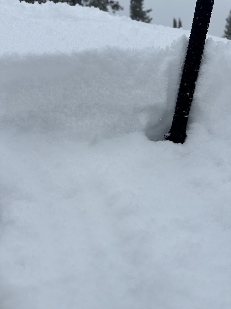
3-4" of new snow sitting atop of a damp snow surface - 8400'
Today's Observed Danger Rating
Moderate
Tomorrows Estimated Danger Rating
None
Coordinates


