Observation Date
1/10/2025
Observer Name
Ted Scroggin
Region
Uintas » Whitney Basin
Location Name or Route
Whitney Basin
Weather
Sky
Scattered
Wind Direction
Northwest
Wind Speed
Light
Weather Comments
A chilly start to the day with temperatures in the teens and some cloudy skies. The afternoon was generally sunny with high clouds which later became thicker and the northwest winds stayed mostly light even on the ridge lines.
Snow Characteristics
Snow Surface Conditions
Powder
Dense Loose
Wind Crust
Melt-Freeze Crust
Snow Characteristics Comments
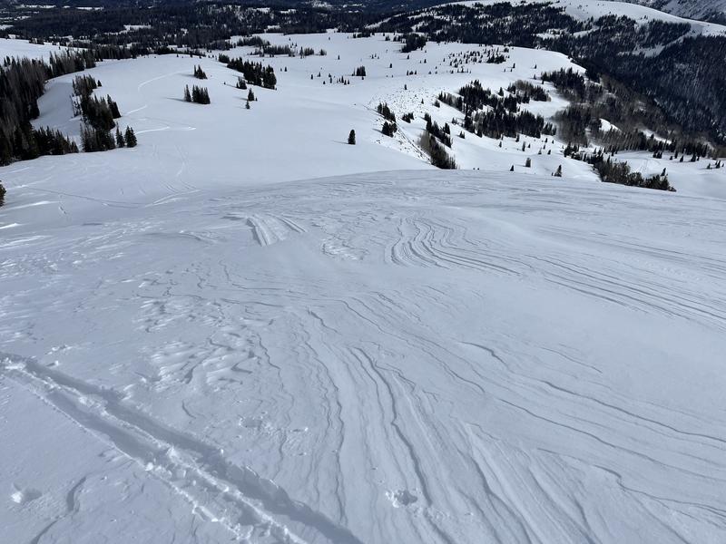
Good supportable snow at the mid and upper elevations while there is still some trap door conditions lower down. The sunny aspects had a bit of a crust in places, but not bad and nice dense settled soft snow in protected areas. The winds have worked over a lot of the exposed terrain.
Red Flags
Red Flags
Poor Snowpack Structure
Red Flags Comments
Not much in the way of red flags in my travels today, the winds stayed well behaved and did not observe any wind loading along the ridge lines. Only one small collapse and the snow pack felt more relaxed than a day or two ago.
Avalanche Problem #1
Problem
Persistent Weak Layer
Trend
Same
Problem #1 Comments
Felt like a status quo day with no big red flags, but the snowpack structure is still priority and going into a stormy weekend the avalanche conditions should ramp back up.
Comments
The exposed terrain is pretty wind worked from north winds, but lose some elevation and seek out protected places and there is some nice soft snow.
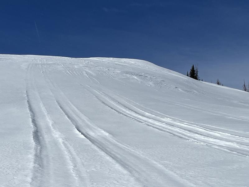
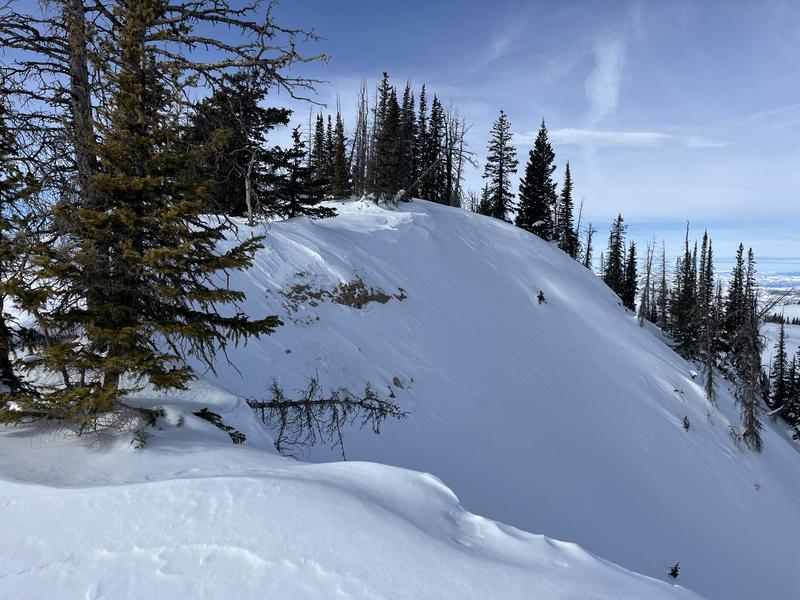
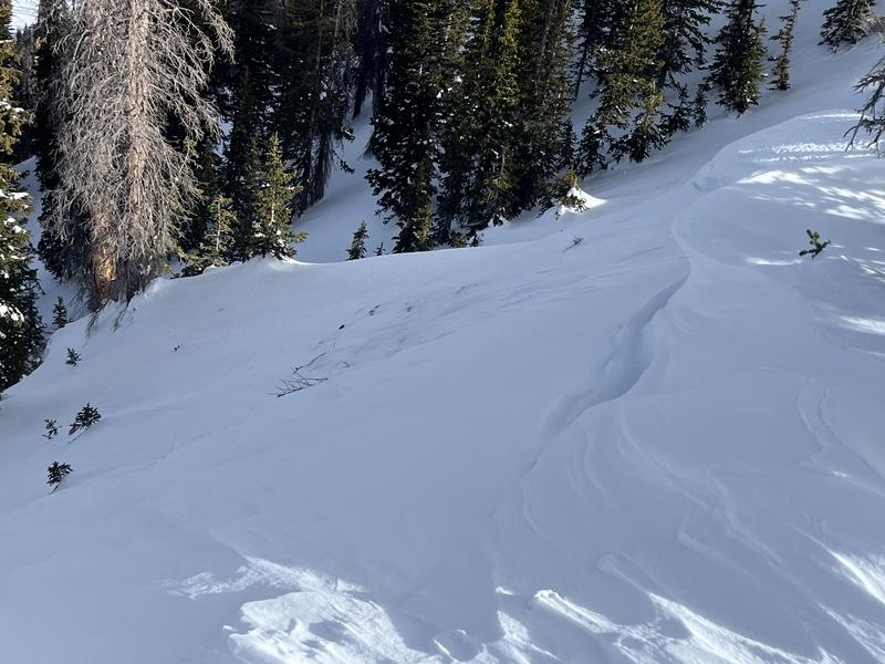
Took a few photos of some upper elevation starting zones that avalanched during the holiday period. These places look a little rocky and thin and could still have some weak sugary snow left behind.
Today's Observed Danger Rating
Considerable
Tomorrows Estimated Danger Rating
None
Coordinates


