Observation Date
1/7/2025
Observer Name
Bishop,Kelly, Davis, Osguthorpe
Region
Ogden » Ben Lomond » Cutler Ridge
Location Name or Route
Cutler Ridge to Ben Lomond Saddle
Comments
Snow profile on an east facing slope at 7,000' in elevation. Height of snow was 128 cm ( 50"). There was a layer of rounding depth hoar that was moist in the bottom 6" (15cm). Temperatures verified that this layer was starting to round. There were a series of crusts in the upper snowpack.

Clear skies and light to moderate winds gave us a great opportunity to look at recent changes to the snowpack in the Ben Lomond zone.
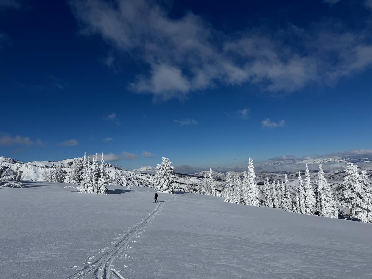
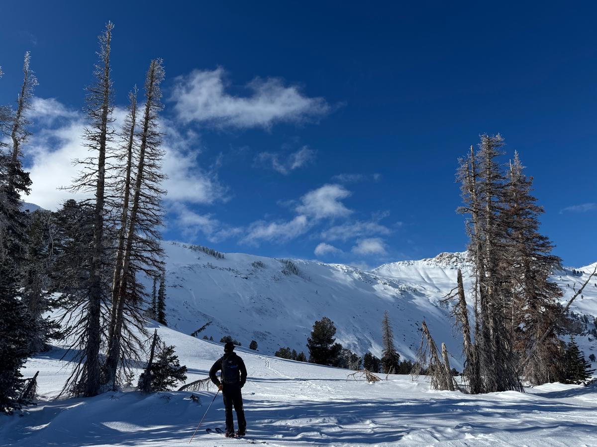
We observed a widespread rime crust (see photos below of one-sided rimed trees & low vegetation), 1" (2 cm) thick on trees on NW-N-NE-E slopes near and above treeline. There was evidence of wind-effected snow on most northerly slopes, with new snow having been blown around into a wind crust in some places and low-density snow stripped from exposed terrain features by recent winds. Southerly-facing slopes held onto 4-6" of low-density soft snow and skied well as it helped us escape the rime & winds crusts.
We did not observe any signs of instability during our tour although we did observe active blowing snow at ridgeline this afternoon.


Photo of rimed trees and wind scoured surface near 8,700'

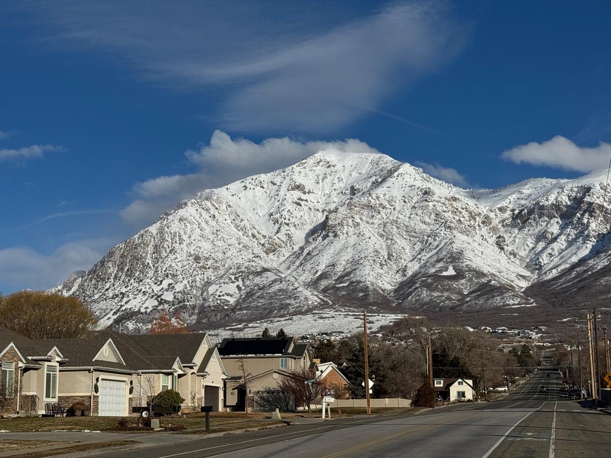
Photo of strong east winds blowing across Ben Lomond as viewed from North Ogden around 0930AM

Photo looking towards the east face of Ben Lomond with old avalanche crowns visibile near the ridgetops.

We discussed the avalanche danger and determined that lower elevation terrain (below 7,000') was most likely LOW danger and where we traveled in mid and higher elevation terrain was more likely MODERATE. We did not spend any time on exposed steep slopes (greater than 30 °) and the slopes we traveled on that were steeper than 30 ° were small slopes where if we had triggered an avalanche we wouldn't have been taken very far (test slopes). Today, we did not travel on any new wind drifted slopes. However, we did not travel for any extended periods on west facing slopes (where active loading was occurring). The winds were blowing harder south of Ben Lomond towards the backcountry terrain near Snowbasin. The Mount Ogden weather station at 9,570' was sustained in the 20's gusting to the 30's MPH from an easterly direction most of the day.
Today's Observed Danger Rating
Moderate
Tomorrows Estimated Danger Rating
Moderate
Coordinates


