Join us at our 2nd Annual Blizzard Ball

Observation: Gold Basin

Observation Date
1/4/2025
Observer Name
Nauman, Kennard
Region
Moab » Gold Basin
Location Name or Route
Tele Gold
Weather
Sky
Obscured
Precipitation
Heavy Snowfall
Wind Direction
West
Wind Speed
Moderate
Weather Comments
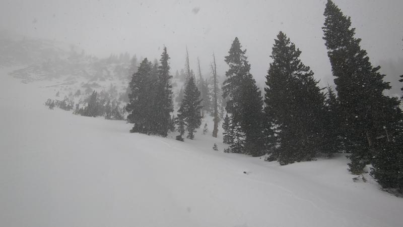
Day started overcast and windy. Once we got up to Tele Gold at 11:30ish, the skies unloaded on us in a proper squall. The initial wave came with wind, but then things calmed down. Was a beautiful calm snow storm for our laps and tour out.
Snow Characteristics
New Snow Depth
5"
New Snow Density
Low
Snow Surface Conditions
Powder
Wind Crust
Snow Characteristics Comments
Initially we were on highly variable old snow surfaces with mainly a mix of wind surfaces and occasional soft snow in sheltered spots. As the storm progressed we were stoked to get about 5" of snow during our 3 laps on tele gold. Based on the timing of the snow and the observed 3.5" at the snow stake (now at 5") on our way down, I wouldn't be surprised if the higher elevations ended up with closer to 8" of snow all said and done. Tomorrow should be pretty fun up there!
Red Flags
Red Flags
Heavy Snowfall
Wind Loading
Poor Snowpack Structure
Red Flags Comments
Lots of pole poking unsurprisingly spoke to widespread facets and rotted snow on northerly aspects. I dug a few hand pits to test if the wind surfaces were reactive and nothing really popped on me, everything seemed pretty tame. No collapses or odd reactions on test slopes - I think think there wasn't much snow to transport in recent winds before the new snow today. We'll have to see what the wind does tonight, but our initial impression was that the new snow might behave pretty nicely it is quite light and also seemed to bond pretty well to the old surfaces.
Avalanche Problem #1
Problem
Persistent Weak Layer
Trend
Same
Problem #1 Comments
Still plenty of facets out there waiting for a new load to awaken the beast. I don't think the new snow will awaken this unless the wind really loads up some start zones.
Avalanche Problem #2
Problem
Wind Drifted Snow
Trend
Increasing Danger
Problem #2 Comments
The wind is picking up again on Laurel and is likely to create some reactive slabs with the new snow now available for transport if that continues. Have to cross our fingers that uncle gusty doesn't get too crazy tonight. If the winds stick to the forecasted 10-15 mph, I'd call tomorrow moderate danger rating. If they crank up, then I'd probably go considerable.
Comments
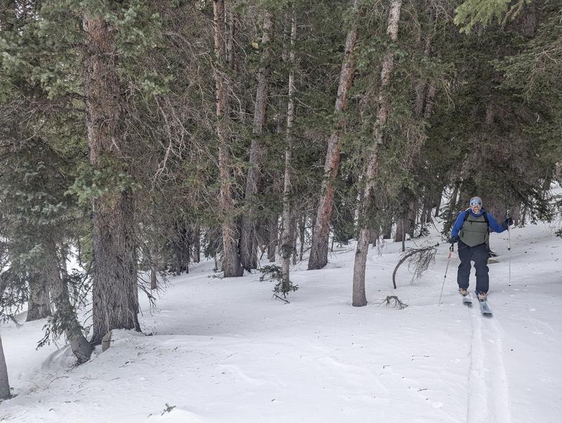
Variable wind affected old snow surface on our tour up. Even the trees had lots of wind damage.
Let it snow!!
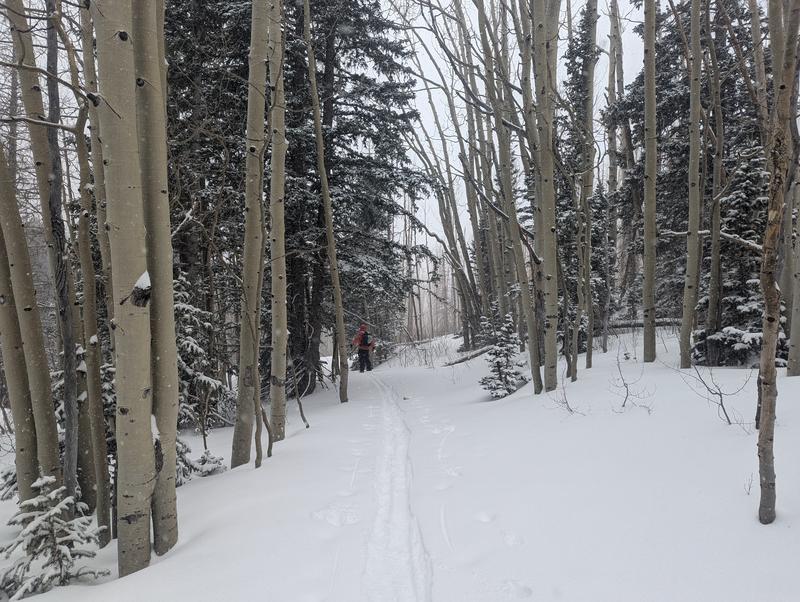
New snow completely filled in our skinner coming back out of Gold Basin.
Today's Observed Danger Rating
Moderate
Tomorrows Estimated Danger Rating
Moderate
Coordinates