Observation Date
12/29/2024
Observer Name
Champion & Andrews
Region
Salt Lake » Mill Creek Canyon » Porter Fork » Main Porter
Location Name or Route
Main Porter Fork
Comments
The Mill Creek Canyon zone was significantly impacted by warm temperatures and overnight rainfall, resulting in a rain/rime crust extending up to nearly 9,000'. Above 8,000', dry snow persists, but is now capped by a firm crust and rain layer, indicating a poor snowpack structure. The combination of warm temperatures, a damp snow surface, and cooler incoming temperatures will likely lock up some of the terrain below 8,600' However, the approaching storm could bring an additional 1–1.25" of water and winds up to 85 mph, potentially redistributing snow on top of this firm layer, creating sensitive wind drifts and overloading areas above 8,900' that aren't capped by the rain. I personally would still avoid all mid- and upper-elevation avalanche terrain, especially in areas that I know the PWL exists.
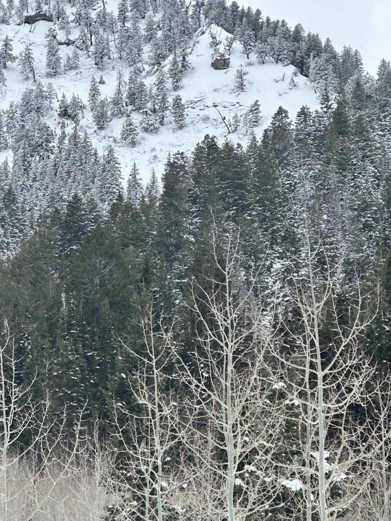
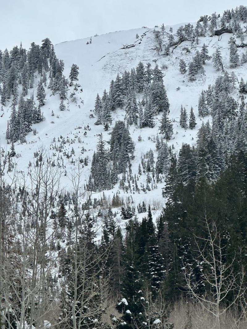
Multiple natural avalanches observed, unsure of timing. One on the ridge above In Between and Gary's Gully, Northeast aspect near 9,200'. Another in the Icebox above Main Porter Fork, North aspect near 9,400'.
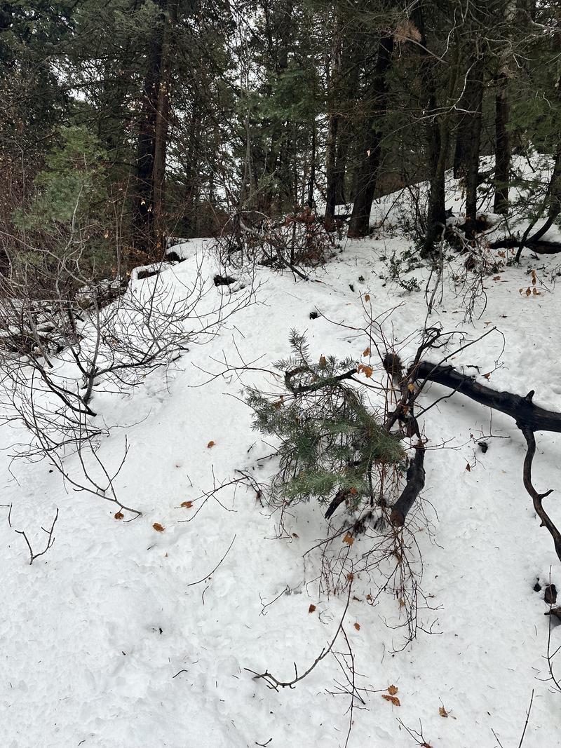
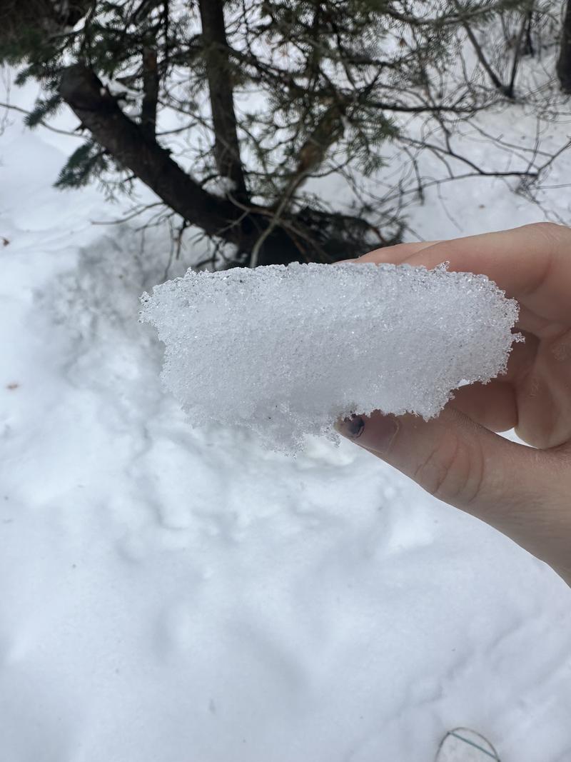
Very Damp snow surface below 8000'.

Damp snow surface becoming a more notable layer/crust instead of full saturation. Still damp and soft. 7300'.

Natural Avalanche on ridge above the In Betwee and Gary's Gully on Northeast Aspect near 9200

Another natural in the Icebox above Main Porter Fork on a North aspect near 9400'.

Today's Observed Danger Rating
High
Tomorrows Estimated Danger Rating
High
Coordinates


