Observation Date
11/25/2024
Observer Name
Champion & Whitefields
Region
Salt Lake » Park City Ridgeline » Scotts Backdoor
Location Name or Route
Scotts backdoor
Comments
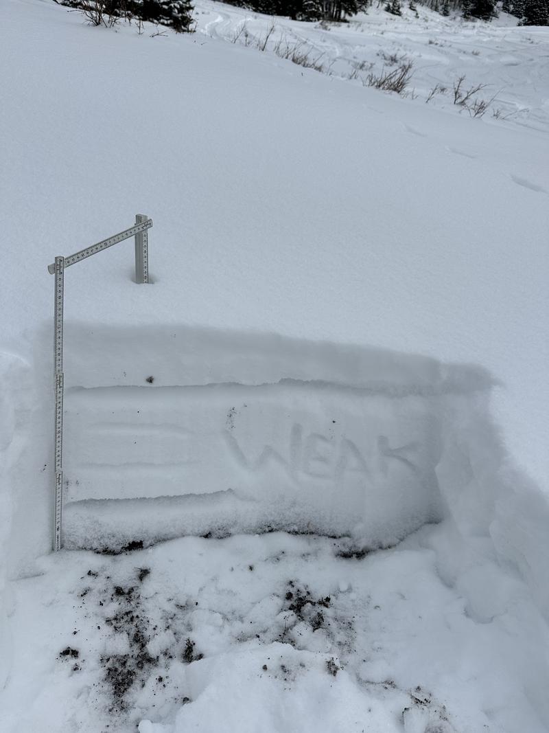
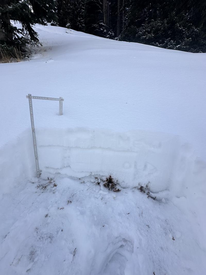
Weheaded out for a final lap before the incoming storm and found conditions consistent with recent observations. Every shaded aspect, except true south, continues to hold a weak, faceted snowpack. On true west aspects, the snowpack is primarily recent soft snow and facets, while other aspects show melt-freeze crust interfaces from earlier storms, which may have melted away on westerly slopes.
Looking ahead, the incoming storm may not bond well to this weekend’s snowfall, increasing the likelihood of shallow new snow avalanches during periods of high precipitation intensity.
The primary concern will be as slabs grow due to both snowfall and wind loading, eventually overloading the weak faceted snow at the ground. With the incoming storm, avalanche danger will rise, along with the likelihood of triggering an avalanche.


West facing aspect at 9370'

North facing aspect at 9800'

Today's Observed Danger Rating
None
Tomorrows Estimated Danger Rating
None
Coordinates


