Observation: Logan Dry Canyon

Observation Date
4/22/2024
Observer Name
Schumacher
Region
Logan » Logan Dry Canyon
Location Name or Route
Dry canyon
Weather
Sky
Few
Wind Direction
West
Wind Speed
Light
Weather Comments
Started out around 0800 with scattered, wispy clouds, 48*F on the car, calm SE breeze coming down canyon. Throughout the day, cloud cover was Few, and what was there was very thin. Winds were generally west and light.
Snow Characteristics
Snow Surface Conditions
Melt-Freeze Crust
Damp
Snow Characteristics Comments
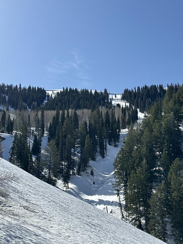
On the way up, first signs of snow on very protected northerly aspects was around 5600'. Was able to stay on snow from about 6000'+. The snow at lower elevations had a light refreeze and anything with sun on it was thawing pretty quickly early in the morning. 
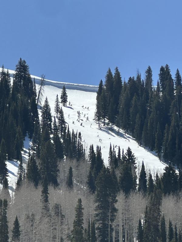
At mid and upper elevations surface conditions were variable and depth of snow was averaging 140-170cm at around 8000' on a North aspect in protected terrain. Generally there was a 2-4" refrozen crust (1F+) atop a couple inches of wet snow sitting on a dense bed surface. By noon, this crust was still very intact and hard (P) in open terrain on the north half of the compass. In forested areas, it seemed the overnight refreeze was much weaker with only a 1" crust (1F) and anything that was touched by the sun today was saturated to the lower crust about 6" down by late morning.
Red Flags
Red Flags
Rapid Warming
Red Flags Comments
Very warm today, especially on solar aspects. No rollerballs or wet avalanche activity noted today. Generally low danger today especially on polar aspects, with possibility of increased danger late in the day especially on solar aspects.
Avalanche Problem #1
Problem
Cornice
Trend
Increasing Danger
Problem #1 Comments
Some respectable cornices remain from the winter hanging over much of the southern, NE facing ridgeline of dry canyon. Some of the more easterly tilted cornice had some small chunks come off likely in the past couple days that had roller balled, but not triggered anything below.
Avalanche Problem #2
Problem
Wet Snow
Trend
Same
Problem #2 Comments
Ambient temps and solar radiation were high today and I expect that on steep and rocky terrain with full sun and still holding snow it would have been possible for a skier to trigger a small to medium size wet slide.
Today's Observed Danger Rating
Moderate
Tomorrows Estimated Danger Rating
Moderate
Coordinates