Observation: Mill Canyon Peak

Observation Date
4/8/2024
Observer Name
Kelly, Woody, Clark
Region
Provo » American Fork » Mill Canyon Peak
Location Name or Route
Mill Canyon Peak
Weather
Sky
Scattered
Wind Direction
Northeast
Wind Speed
Calm
Weather Comments
Skies were mostly scattered cloud cover with periods of heavier cloud cover and sun shining through. Winds were mostly calm to light and increased blowing from the northeast in the afternoon. Temperatures were below freezing °F and dropped during the eclipse (1230PM).
Snow Characteristics
New Snow Depth
4"
Snow Surface Conditions
Powder
Melt-Freeze Crust
Snow Characteristics Comments
4" settled snow depth on solar aspects while due north facing was more like 10"-12" of settled powder with a melt freeze crust underneath the newest snow on all aspects but due north. During periods of sun the snow surface became damp, but we saw no roller balls or recent wet snow activity.
Avalanche Problem #1
Problem
Normal Caution
Problem #1 Comments
Today was an overall Low danger where we traveled. The biggest concern we encountered was a slick melt-freeze crust on most aspects that were not due north. On steeper slopes this would be a concern. At lower elevations we found damp snow and I would imagine a crust will be in most low elevation locations at all aspects tomorrow. We saw old signs of wet debris and cornices that released during increased wind transport from a few days ago.
Snow Profile
Aspect
Southeast
Elevation
9,800'
Slope Angle
26°
Comments
The weakest snow was 45 cm ( 18") from the ground and was a layer of 4finger hardness wet clusters. Although compression tests were high numbers 28 and 32 the shear was cleaner than the upper layers and if water were to percolate to this layer during the melt it may create bigger wet slab avalanches on steep slopes. Something to keep an eye on as we transition to a spring snowpack. Today it was not a concern.
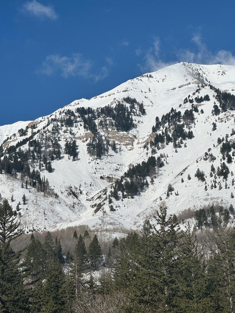
Photo of wet slide from a few days ago east facing Elk Point
Photo of a sensitive cornice that was unintentionally triggered by a snowmobiler along the ridge on Sunday April 7th. The cornices were less sensitive today.
Today's Observed Danger Rating
Low
Tomorrows Estimated Danger Rating
None
Coordinates