Observation Date
4/7/2024
Observer Name
Champion/Talty/Dunphey/Larson
Region
Salt Lake » Big Cottonwood Canyon » Mill D North
Location Name or Route
Lees Fork - Reynolds Zone
Comments
Overall, it was a great day of riding. I was surprised by the impressive coverage and riding conditions. Almost every aspect held between 12-18" of new snow atop varying depth supportable crust. On southerly aspects, the crust was at least 2-4" deep, while westerly and easterly facing aspects had a supportable crust closer to 1-2", depending on elevation. The northerly facing aspects we traveled did not have a supportable crust beneath the new snow, except for previous bed surfaces or cornice falls.
The primary concern of the day would be shallow soft slabs along ridgelines and sluffing in the steepest terrain. However, we did not observe any instabilities or signs of them during our travel. While breaking trail, we also experienced no cracking or collapsing, indicating overall stable conditions where we traveled. Moving forward, I anticipate that the new dry snow will quickly heat up when the sun comes out, and there is a lot of soft snow available for transport, potentially leading to wind slabs overloading what are currently stable conditions.
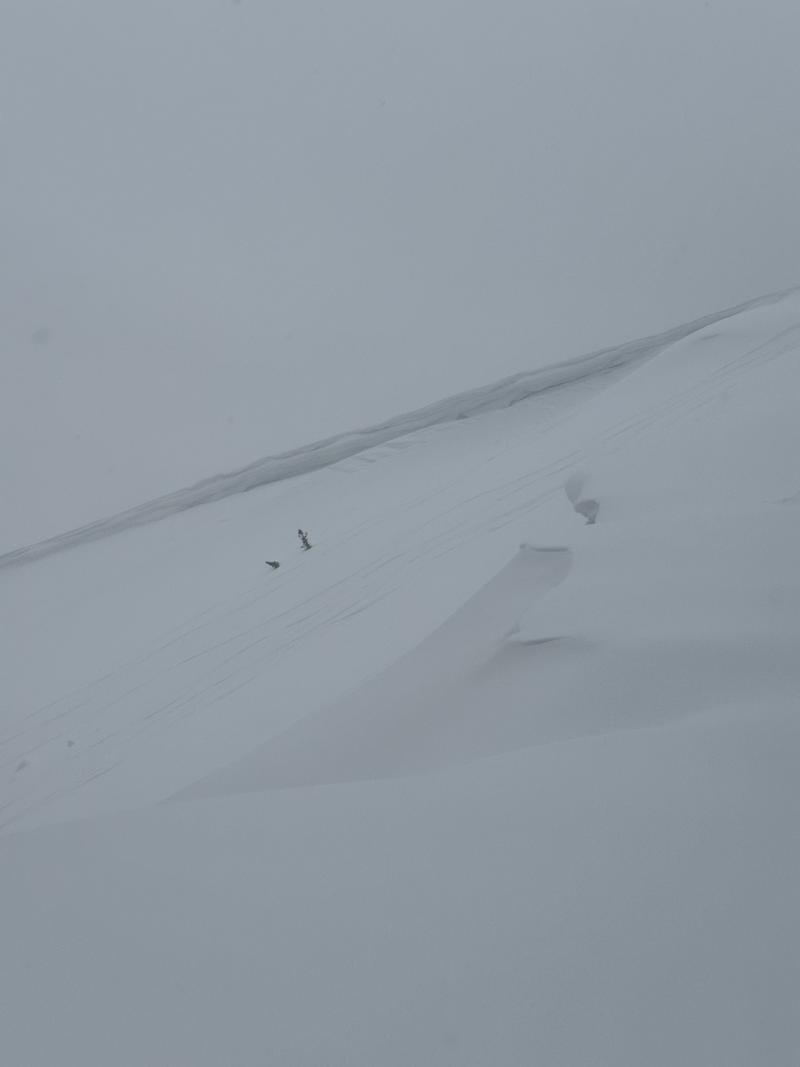
Cornices remain a concern as well; they were obvious along most ridgelines and overhanging.
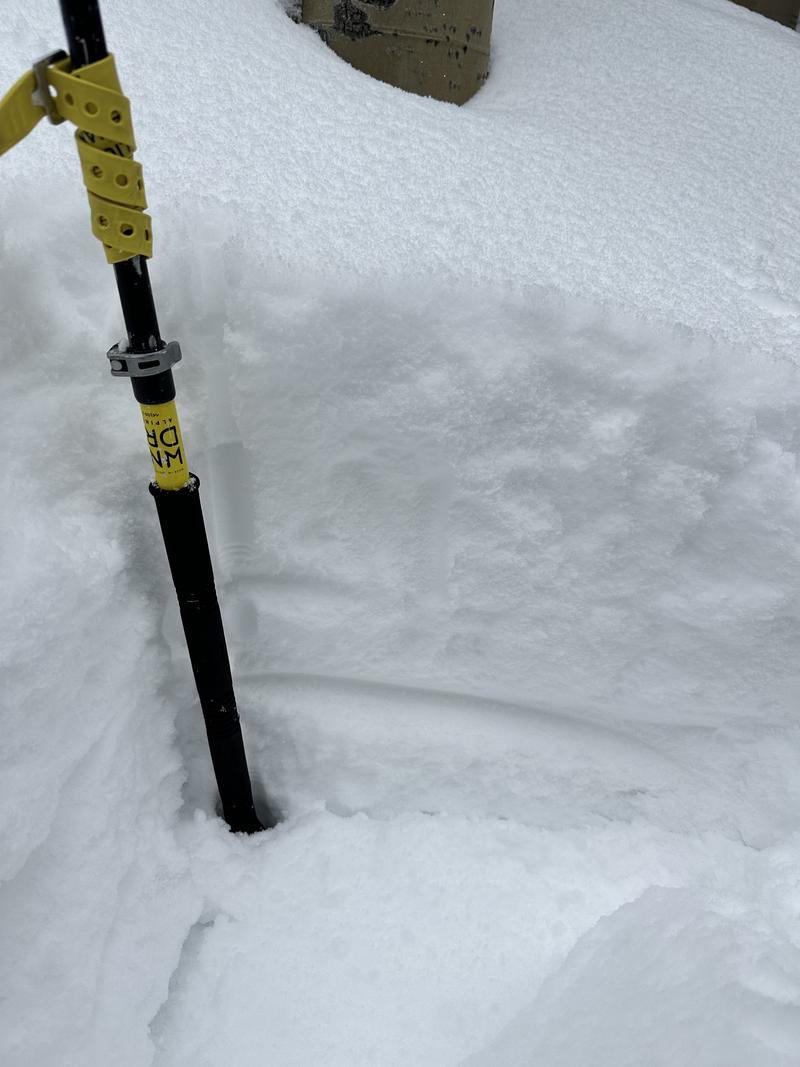
New snow sitting atop a supportable crust on a west-southwesterly aspect.
Corniced ridgeline
Today's Observed Danger Rating
None
Tomorrows Estimated Danger Rating
None
Coordinates


