Observation Date
2/17/2024
Observer Name
mads
Region
Uintas » Castle Peak
Location Name or Route
Castle Peak Environs
Comments
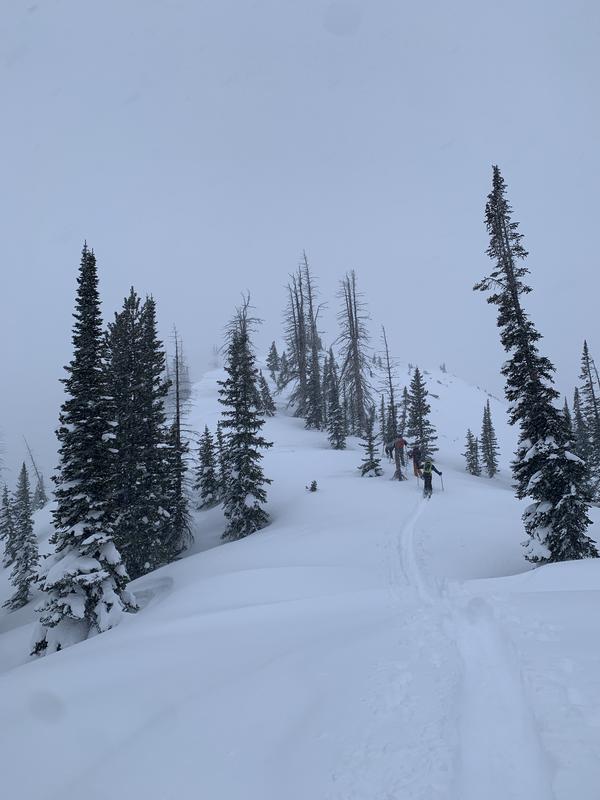
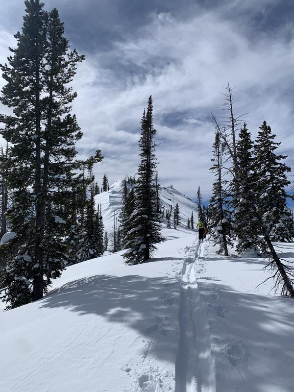
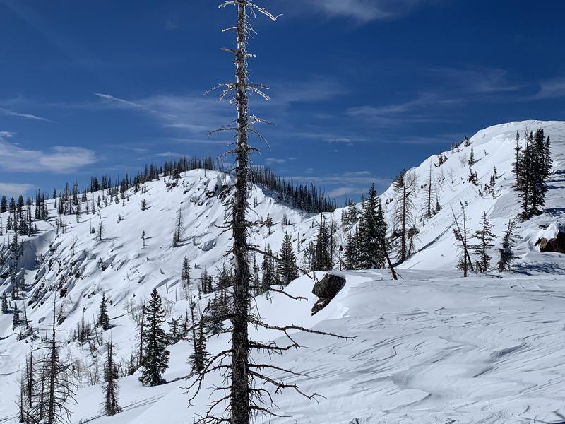
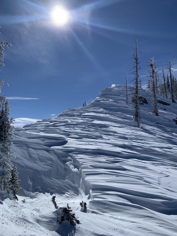
Touring in the Castle Peak Area, we witnessed notable wind loading--winds from Friday midday through early Saturday morning varied from SW, backing to NW (first photo is looking south towards Castle Peak being wind loaded early Friday evening, second is the result midmorning Saturday). Most snow transport appeared to have been transported away from northern and western aspects and onto southerly and easterly aspects leaving beautiful and well developed sastrugi on the N and W aspects (see third and fourth photos looking at The Duke and from a saddle on the eastern side of the feature). Still, some small cracking was observed while travelling across these aspect, presumably from the older SW winds.
We noted some natural cornice shedding (visible in the third photo). There was a sun crust on which wind formed slabs failed on steeper slopes facing due south.
The winds seemed to have left snow the treed or otherwise protected areas mostly intact and we found some excellent powder on multiple sheltered aspects.


Today's Observed Danger Rating
Considerable
Tomorrows Estimated Danger Rating
Moderate
Coordinates


