Observation Date
2/8/2024
Observer Name
Kelly
Region
Salt Lake » Big Cottonwood Canyon » Days Fork
Location Name or Route
Days Fork
Comments
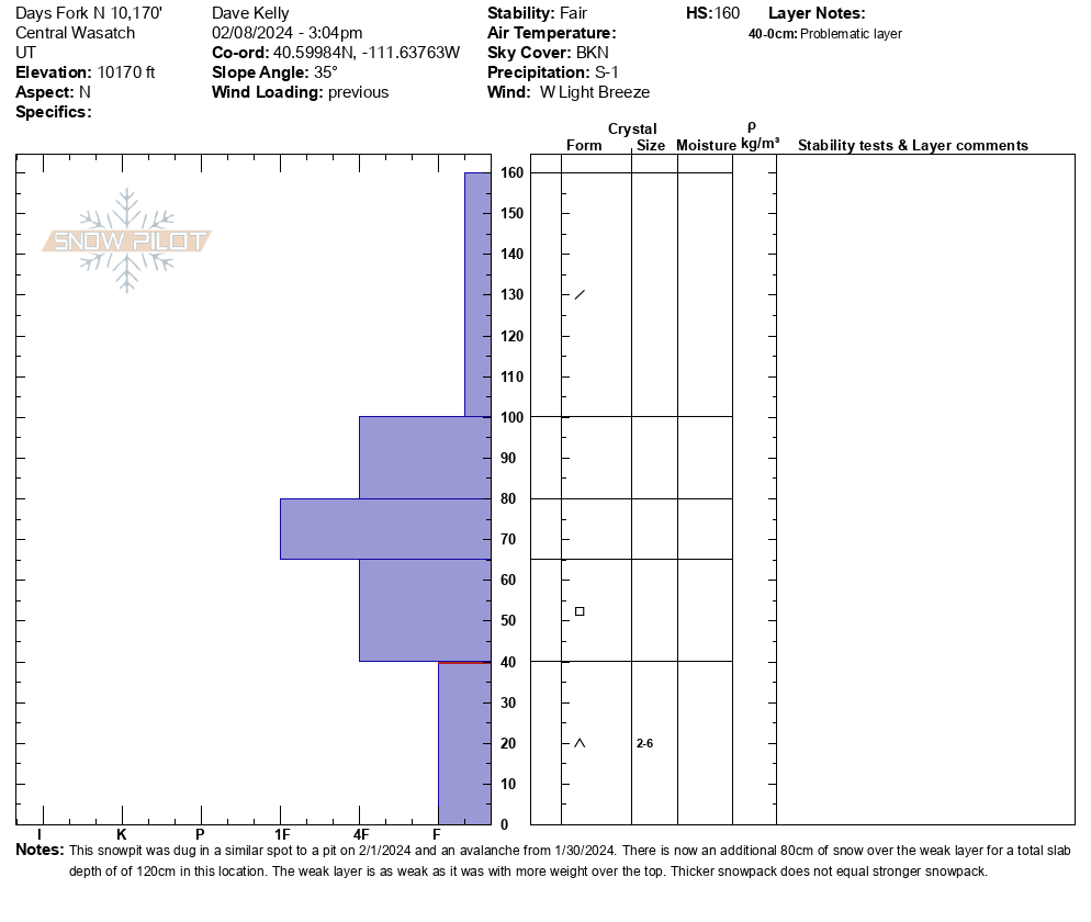
This snowpit was dug in a similar place to the snowpit that Greg and I dug on February 1, 2024 when we were investigating a skier triggered avalanche from January 30, 2024. The snowpit depth here was 5' (160cm) with 2.5' (80 cm) of new snow. The snow near the ground is as weak and faceted as it was on February 1st, but now has another 2-3' of new snow burying the the weak layer 4' deep in this location. Areas with more wind loading could mean the weak layer is closer to 6'-7' deep in some locations. The weak layer is no less strong than it was a week ago, but the slab over the top is much thicker.
The bottom line is that the difference is more weight. The avalanches will be bigger. Give this weak layer time, because right now thicker does not equal stronger.

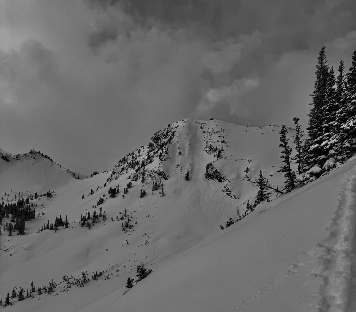
Photo below of dry loose point release avalanches on steep east-southeast facing terrain off of Toledo.

Video
Today's Observed Danger Rating
Considerable
Tomorrows Estimated Danger Rating
None
Coordinates


