Observation: Cutler Ridge

Observation Date
1/18/2024
Observer Name
Daniel Turner
Region
Ogden » Ben Lomond » Cutler Ridge
Location Name or Route
Cutler Ridge
Weather
Sky
Scattered
Weather Comments
Warm temps into the mid-30s, calm winds increasing in the late afternoon to light to moderate on the ridge lines.
Snow Characteristics
New Snow Depth
8"
New Snow Density
Low
Snow Surface Conditions
Powder
Wind Crust
Snow Characteristics Comments
Generally snow conditions were low-density powder on top of consolidated storm snow from recent storms. The higher up cutler ridge we ascended the more the snow was wind effected.
Red Flags
Red Flags
Recent Avalanches
Wind Loading
Rapid Warming
Red Flags Comments
Temps in the mid 30's felt tropical after the prolonged cold we have experienced.
Avalanche Problem #1
Problem
Wind Drifted Snow
Trend
Same
Problem #1 Comments
With lots of new snow for transport wind drifted snow will continue to plague the region.
Avalanche Problem #2
Problem
Persistent Weak Layer
Trend
Decreasing Danger
Problem #2 Comments
From observations today, it appears the Nov PWL of concern is reaching a depth that is hard to trigger. (142 cm down) Some of the new snow interfaces over the last few storms have not yet bonded, these are of moderate concern. These layers if triggered on steeper slopes could likely step down to the buried PWL.
Snow Profile
Aspect
North
Elevation
7,800'
Slope Angle
26°
Comments
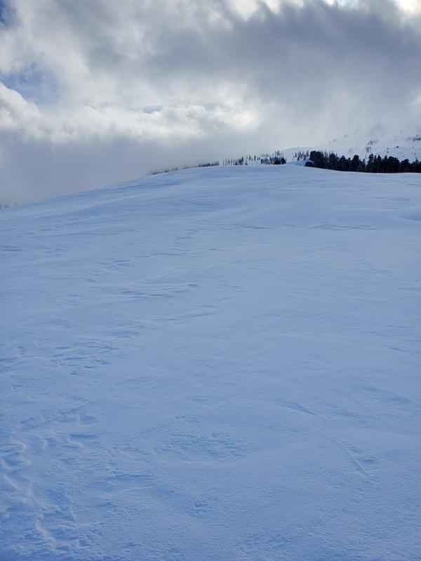
Standardized test in this particular area produced very few results (See pit Profile). I performed a Deep Tap test focusing on the PWL with little reactivity. DT29 Q1. I am in no way implying that it is green light, there are too many unknowns at this time. However, it does appear that with the large amount of new snow and the warming temps, things are heading in the right direction for healing our snowpack.
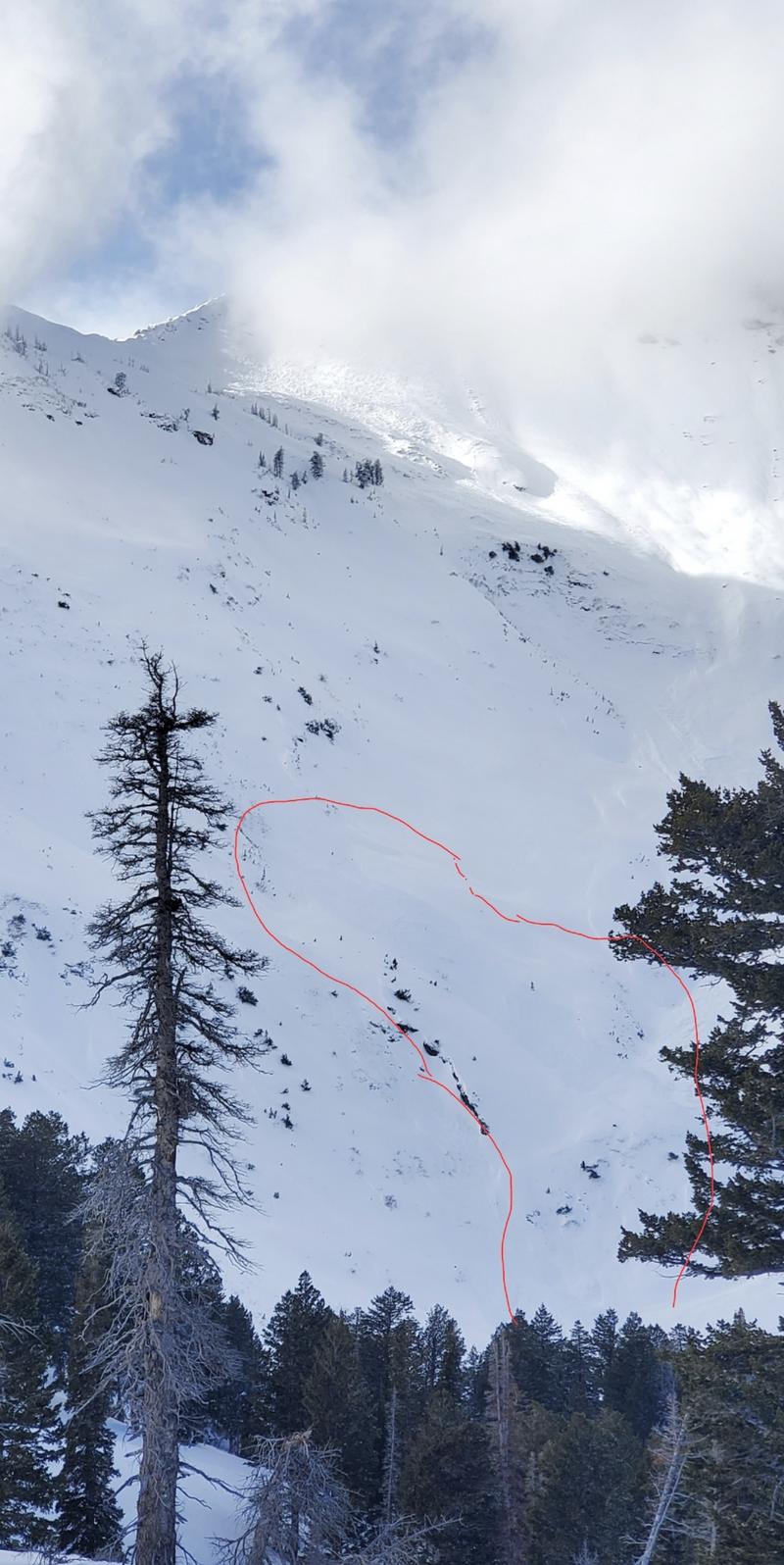
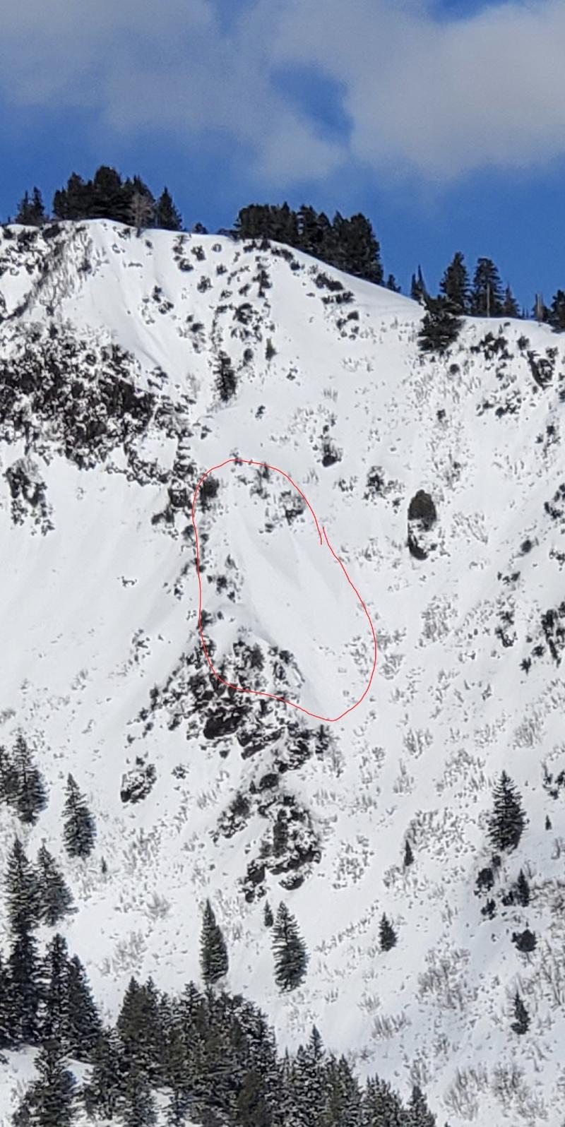
New snow avalanche were observed on the E face of Ben Lomond along with a few point releases on the Southerly slopes as the sun warmed them. Ridges around 8000' are moderately wind-affected.
Today's Observed Danger Rating
Considerable
Tomorrows Estimated Danger Rating
Considerable
Coordinates