Observation Date
1/7/2024
Observer Name
Hardesty
Region
Provo » Provo Canyon » North Fork Provo R. » Alpine Loop
Location Name or Route
Alpine Loop - Timp Divide
Comments
Timp Divide at roughly 8200' sits at 54% of median and as such, the total snow depths of 12-18" along this elevation band is either dry (many solar aspects) or facets and depth hoar (and occasional crusts) top to bottom. It is the weakest snow I've seen from Ogden through the Cottonwoods to Provo. The difficult of access (aka "thicketeering") would make old Provo forecasters Bill Nalli and Rip Griffith proud.

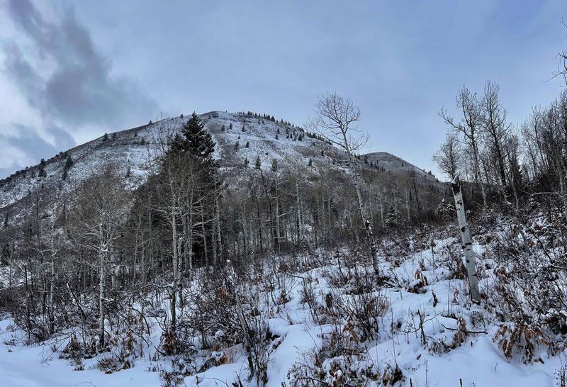
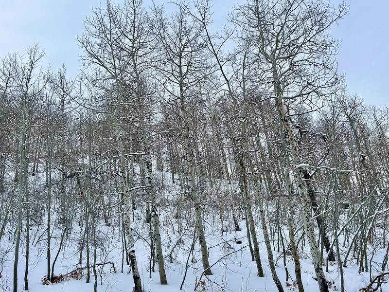
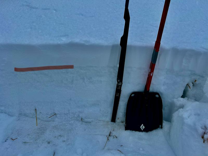
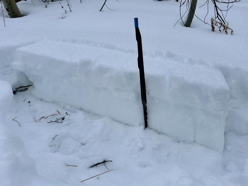
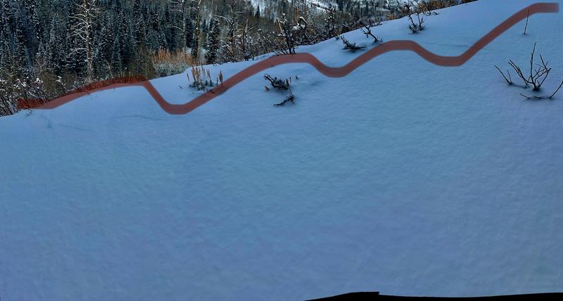
The storm snow at the low and mid-elevations did not appear to be enough to tip the scales regarding the very weak pre-existing snow surfaces. Still, it was noted the in the thin snowpack, ECTs revealed ECTN1 multiple times at this new/old interface with PSTs arresting easily. There clearly lacks a slab in many areas. Still, the highest elevations and/or areas that received the most snow would be suspect.
Today's Observed Danger Rating
Moderate
Tomorrows Estimated Danger Rating
None
Coordinates


