Check out our Holiday Auction - Sign Up for the Utah Snow and Avalanche Workshop (USAW)

Observation: Intermediate Ridge

Observation Date
1/3/2024
Observer Name
Ambler, Speckmann
Region
Salt Lake » Big Cottonwood Canyon » Cardiff Fork » Intermediate Ridge
Location Name or Route
Intermediate Ridge
Weather
Sky
Overcast
Wind Direction
Southeast
Wind Speed
Moderate
Weather Comments
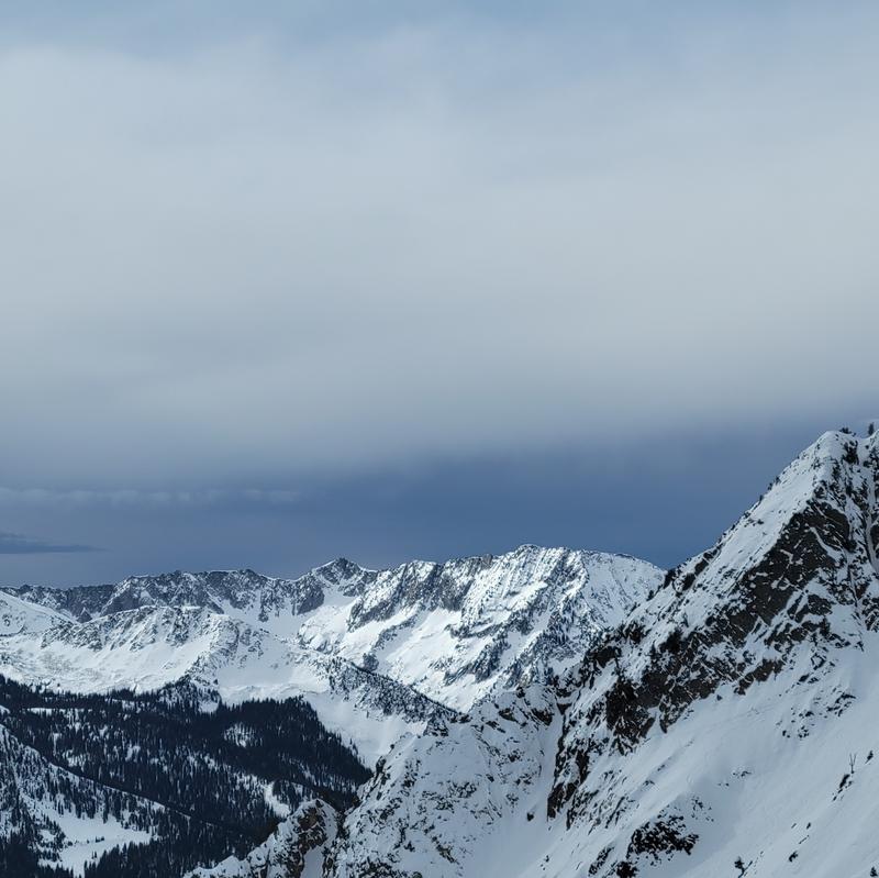
Moderate winds with strong gusts. Alta Baldy said SE but with canyon swirling we felt winds from NE-SE. Sky was scattered in the AM but progressed with promising looking dark clouds moving in throughout the day. Minimal snow transport observed
Snow Characteristics
Snow Surface Conditions
Faceted Loose
Wind Crust
Melt-Freeze Crust
Snow Characteristics Comments
Playing the aspect game, there's still a chance of winning. We found excellent riding conditions in snow that was sheltered from the wind, sun and other riders. On our way to and from Cardiff Pass there were some hateful travel conditions as I'm sure we're all aware. Skill development. Sheltered snow is very weak, as has been well noted.
Red Flags
Red Flags
Recent Avalanches
Poor Snowpack Structure
Red Flags Comments
A small loose dry avalanche was triggered under my feet in steep (38*) terrain within the upper 15 cm of faceted snow. Not much to worry about in inconsequential terrain but a sorry foundation for the hopeful weather moving in.
Avalanche Problem #1
Problem
Persistent Weak Layer
Problem #1 Comments
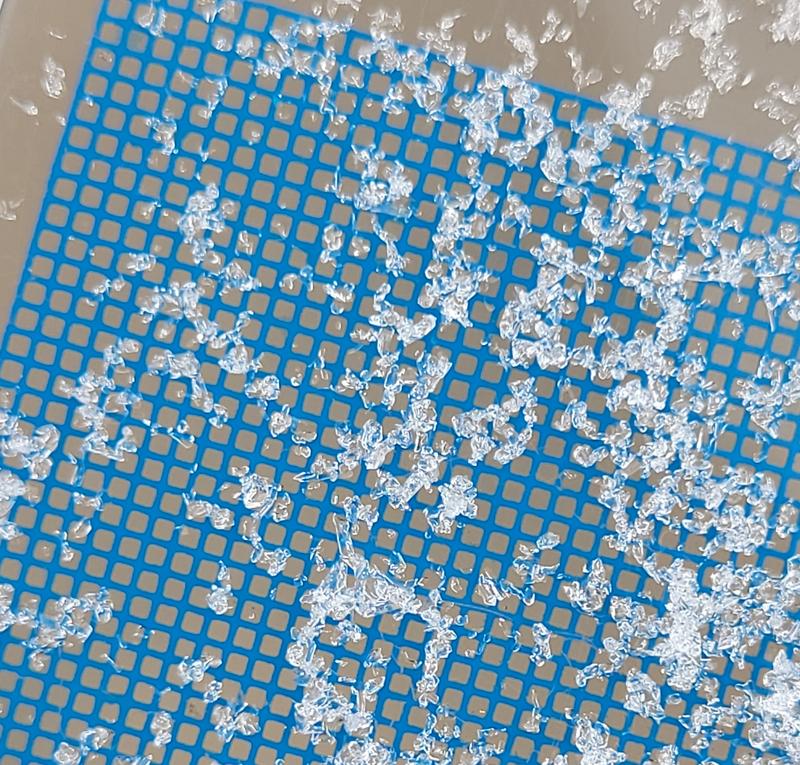
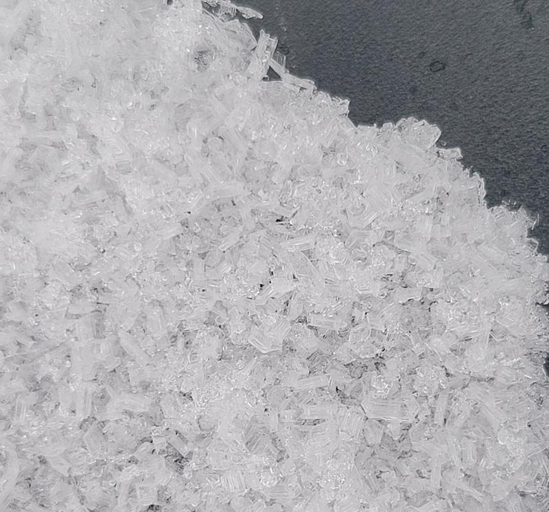
similar findings to Hardesty in mill creek/bcc, in a hasty pit I found fist hard 1mm NSF in the top 15-20cm of snow, capped with 1-2 to occasional 5+mm surace hoar, trending downwards in a rightside up fashion with 4f to 1f mixed forms and rounds respectively. I did not dig to the ground. I figure the top is enough to worry about for now.
Comments
NSF on 1mm grid
pretty surface hoar on a shovel
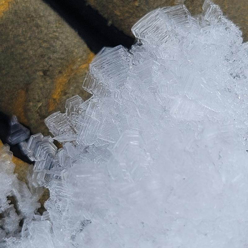
prettier surface hoar on a hand
clouds moving in
surface hoar was not limited to valley bottoms, found near ridgeline on shady aspects so far unbothered by winds
Today's Observed Danger Rating
Low
Tomorrows Estimated Danger Rating
None
Coordinates