Observation Date
12/4/2023
Observer Name
Champion & Staples
Region
Uintas » Mill Hollow/Duchesne Ridge
Location Name or Route
Mill Hollow/Duchesne Ridge
Comments
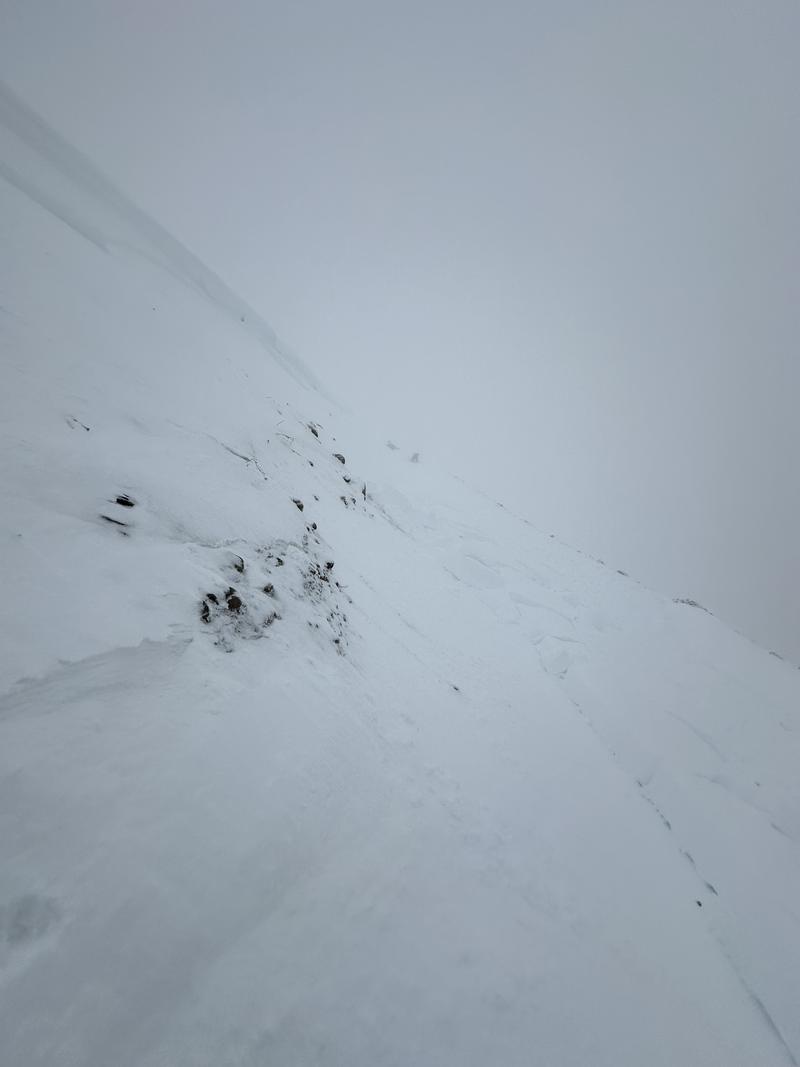
Headed out to the Uintas to get an idea of the snow totals from the recent storm, coverage, and see if there was any recent avalanche activity with the increased load. Overall, the visibility was poor throughout the day so we could not see too many signs of recent avalanche activity, but coverage had greatly improved off of Wolf Creek Pass.
Most areas seemed to get anywhere between 8-14" of new, inverted snow, which made for improved riding conditions but generally challenging moving. While the riding conditions have improved from before the storm, things are still thin. Only the Westerly, Northerly and Easterly facing aspects seemed to have held snow from before the storm and there is still plenty to run into riding, both on foot or on a sled.
While traveling below a steep cut bank on the road, we were able to trigger a small soft slab failing on facets near the ground. This happened on a northeast aspect, near 10000'. Approx 1' deep, and 50' wide.
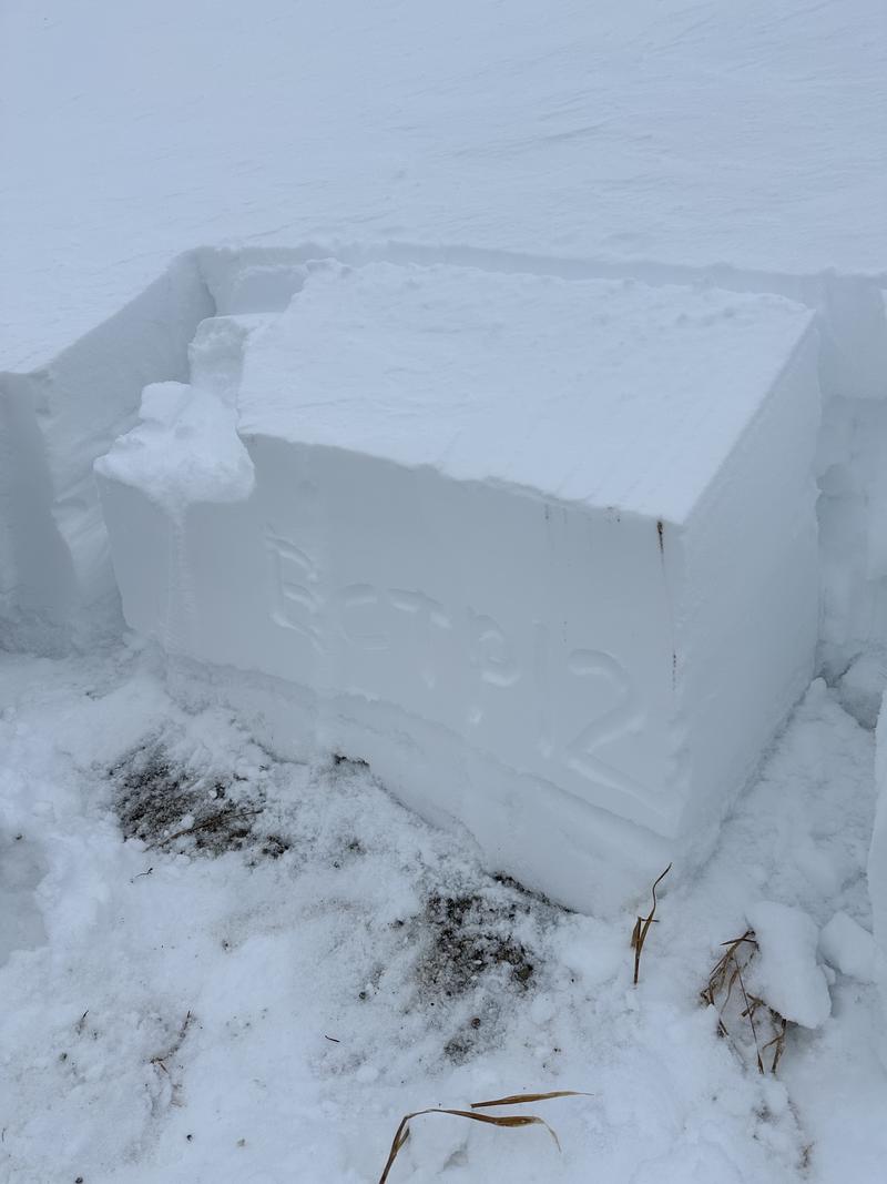
The snowpack structure is similar to many other places in the state, there is weak snow at the ground. Any snow that had fallen before this storm was weak and faceted, anywhere between 1-2mm facets. Unlike the Central Wasatch, we were unable to find any crust interfaces. Just new snow falling atop of the weak facets. Within all of our snowpits, we were able to get propagation.
Small avalanche triggered on cut bank.

Propagation within a north-facing pit at 9720'.

Video
Today's Observed Danger Rating
Considerable
Tomorrows Estimated Danger Rating
Considerable
Coordinates


