Observation Date
12/1/2023
Observer Name
Champion/Talty/Collett
Region
Salt Lake » Little Cottonwood Canyon » Grizzly Gulch » Patsy Trees
Location Name or Route
Patsy Trees
Comments
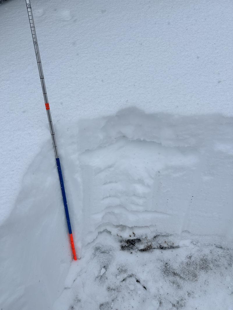
Headed out today to get an idea of the snow surface prior to the storm, and get a better idea for the westerly-facing aspects. Overall, we found a snowpack depth around to 90cm at 10,000'. The westerly facing aspects do not look as weak the northerly, and easterly facing aspects - but a poor snowpack structure does still exist with a stout, 1F+ melt freeze crust near the ground, with dry facets above it and damp facets below it. We were looking to see if any near-surface facets, or buried surface hoar was preserved and while we could see the new snow old snow interface within the pit wall, we were unable to pull out any intact surface hoar.
I think the primary issue tomorrow will be the new snow, old snow instability for the westerly facing aspects but as we move into the weekend and add more water weight to the snowpack I would guess that westerly-facing aspects will step down to the facets.
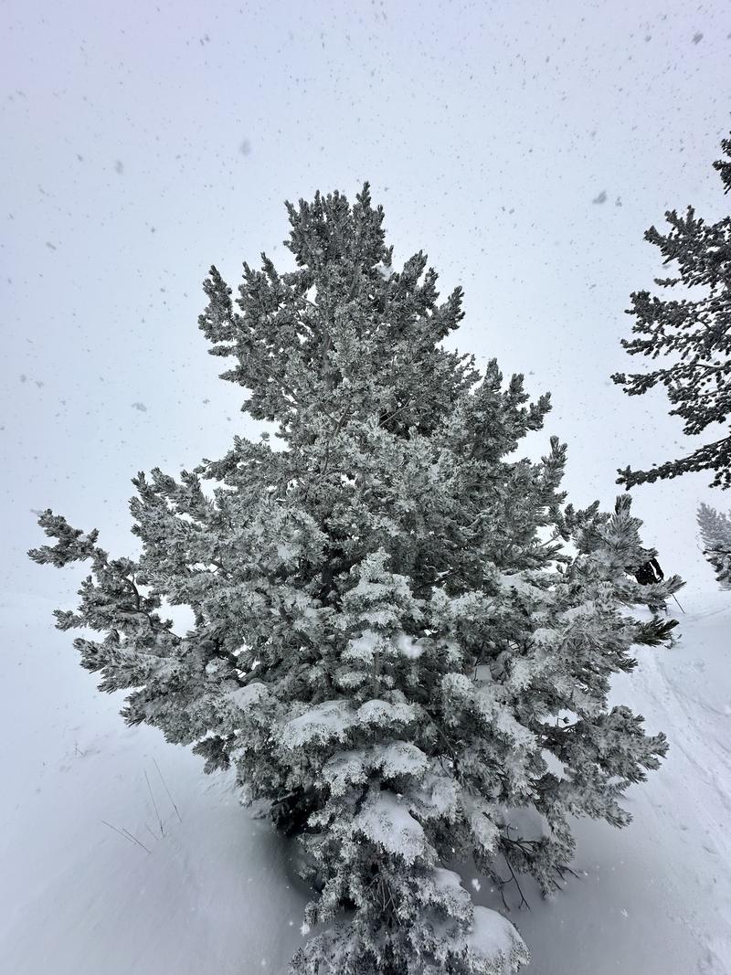
Snow covered trees.

Snowpit at 10,000' on a west-facing aspect of upper LCC.

Video
Today's Observed Danger Rating
Moderate
Tomorrows Estimated Danger Rating
None
Coordinates


