Observation Date
11/29/2023
Observer Name
Hardesty
Region
Salt Lake » Big Cottonwood Canyon » Guardsman Pass area
Location Name or Route
Guardsman Pass area
Comments
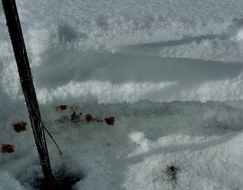
Out looking at snow structure in upper BCC and along the PC ridgeline ahead of the weekend storms. Travel is easy and riding conditions are decent in soft recrystallized snow.
Northerly aspects are exceedingly weak with various crusts and facets and surface hoar. Snow depths are 1 to 2.5 feet deep.
West and some southwest aspects also harbor some weak structure, particularly along the mid and higher elevations (see profile below).
Easterly aspects also hold weak structure. Some southeast aspects are bone dry right now, some have up to 1' of snow that is also layered and weak (see profile below).
Steep terrain on all of these aspects will be susceptible to avalanching with enough snow and wind this weekend.
Most southerly aspects have little to no snow or or damp/crusts.
Profiles with accompanying photos below.

Video


Today's Observed Danger Rating
None
Tomorrows Estimated Danger Rating
None
Coordinates


