Observation: Whitney Basin

Observation Date
4/22/2023
Observer Name
Ted Scroggin
Region
Uintas » Whitney Basin
Location Name or Route
Whitney Basin
Weather
Sky
Broken
Precipitation
Light Snowfall
Wind Direction
West
Wind Speed
Light
Weather Comments
Cool start to the day with chilly morning temperatures, broken skies with some sunshine at the trailhead, but mostly cloudy as you traveled to higher elevations. The winds stayed pretty behaved with calm to light speeds for most of the morning, then some very light snow showers moved in and west winds increased a little, but no new snow accumulation while I was out.
Snow Characteristics
New Snow Depth
10"
New Snow Density
Medium
Snow Surface Conditions
Powder
Wind Crust
Melt-Freeze Crust
Snow Characteristics Comments
Just a few new inches of snow at the trailhead this morning and a nice little shot of snow in the Whitney Basin with upwards of 10" of medium density snow that has accumulated from the last few days. The new snow helped cushion some of the old hard tracks and old frozen snow surface. The snow coverage is quite amazing for the end of April and there should be lots of great spring riding and turning for the month of May.
Red Flags
Red Flags
Wind Loading
Cracking
Red Flags Comments
The new snow and wind has formed somewhat sensitive wind drifted snow along the exposed ridge lines, these wind slabs would crack and slide up to about a foot deep and they were sitting on a slick hard bed surface that was the old snow layer. It looked like there was some protected lighter density snow that these wind slabs are sitting on.
Avalanche Problem #1
Problem
Wind Drifted Snow
Trend
Decreasing Danger
Problem #1 Comments
Fresh wind drifted snow today along the higher ridge lines was fairly sensitive given the right slope angle. These would crack and break about a foot deep and they had some decent energy as they were sitting on the old hard snow surface. I would think with the mild weather approaching these should settle out quite quick.
Avalanche Problem #2
Problem
New Snow
Trend
Increasing Danger
Problem #2 Comments
The new snow today was not getting much in the way of direct sun, but any breaks in the clouds and the new snow should become damp and unstable as it reacts to the first touch of high spring sunshine.
Comments
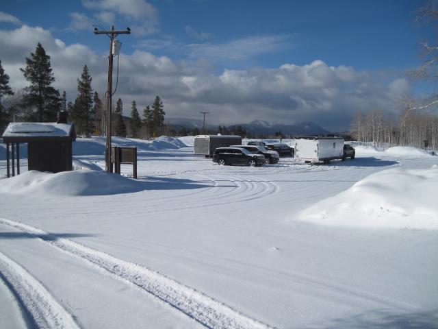
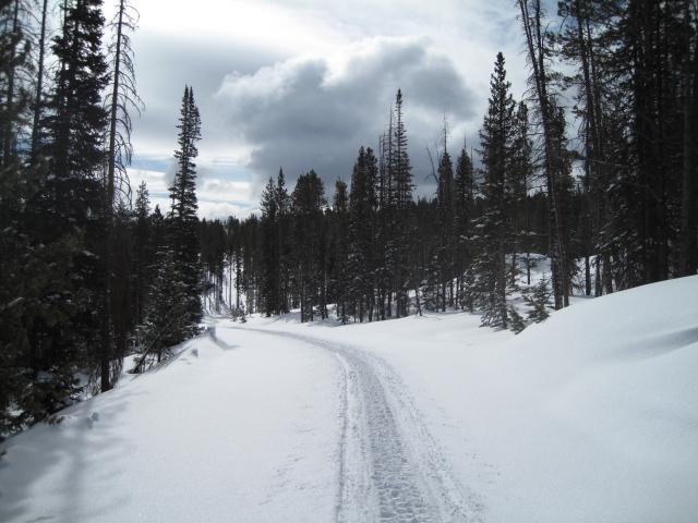
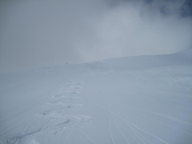
A few new inches of snow from this past week at the trailhead and it does not look like the end of April. The ride into the Whitney area today was nice and mellow with a mostly smooth trail and some fresh snow to cover old tracks. I was finding about 10" of new snow that has accumulated this week in upper Whitney Basin.
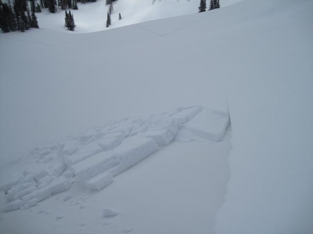
The wind drifted snow was a little reactive this morning with these shallow and not too connected slabs of snow that would break on just the right slope angle and would not travel very far was the slope angle lessened. Although not deep and wide, these had some energy to them has they were sitting on the old hard frozen snow surface.
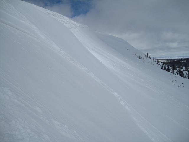
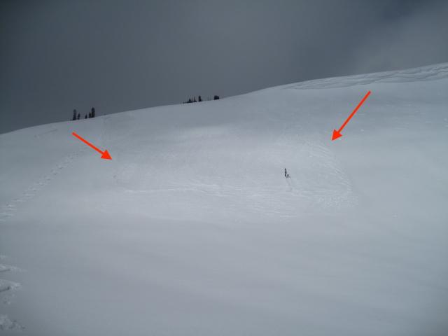
There was this fairly recent natural avalanche that may have been from a piece of cornice that broke off and triggered this small new snow slide.
Today's Observed Danger Rating
Considerable
Tomorrows Estimated Danger Rating
Moderate
Coordinates