Observation Date
4/1/2023
Observer Name
Ted Scroggin
Region
Uintas » Whitney Basin
Location Name or Route
Whitney Basin
Weather
Sky
Few
Wind Direction
South
Wind Speed
Moderate
Weather Comments
Mostly sunny this morning and temperatures were fairly mild at the trailhead. South winds were already gusty throughout the day drifting in tracks and blowing lots of snow off the ridges onto the leeward slopes. A few clouds drifted in and out this afternoon and it did feel a little like the first of April, but it looks more like March with amazing snow coverage.
Snow Characteristics
New Snow Depth
2'
New Snow Density
Medium
Snow Surface Conditions
Powder
Snow Characteristics Comments
Man it has been snowing and blowing in the high country, the riding was pretty amazing with over the hood conditions and a solid feeling snowpack out in the meadows and low angle terrain. The gusty winds were blowing and drifting lots of snow today, but the wind did keep the snow on the sunny aspects from getting too wet and damp.
Red Flags
Red Flags
Recent Avalanches
Wind Loading
Red Flags Comments
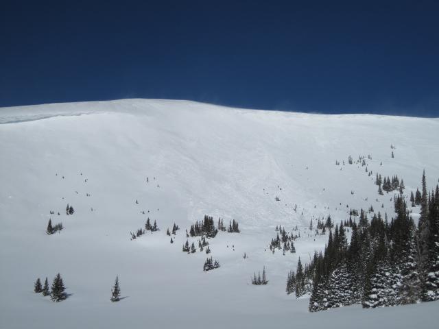
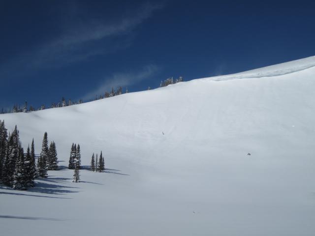
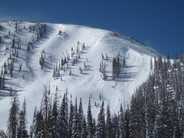
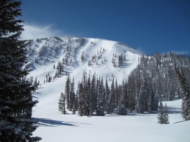
Looking around the Whitney area it was pretty active with natural avalanches on slopes mainly with a north to northeast aspect. Some of these natural avalanches were from cornices breaking off and some were just the volume of new snow over loading the slope in a short period of time.
Avalanche Problem #1
Problem
Wind Drifted Snow
Trend
Same
Problem #1 Comments
The winds are the big red flag with so much new snow to blow and drift onto the leeward terrain. The wind was just not along the high ridge lines, but even down into lower terrain filling in fresh tracks.
Avalanche Problem #2
Problem
New Snow
Trend
Decreasing Danger
Problem #2 Comments
I think the new snow has settled out some given the high angle of the sun this time of year , but the wind just keeps stacking up drifted snow and the snow pack does not get much of a chance to completely settle and stabalize. Feels like we only get a day or two before the next round of snow and wind move into the area.
Comments
A few photos of some of the natural activity around the Whitney area.
I noticed how filled in and thick the run outs are on some of the bigger slopes like this one on Moffit Peak.
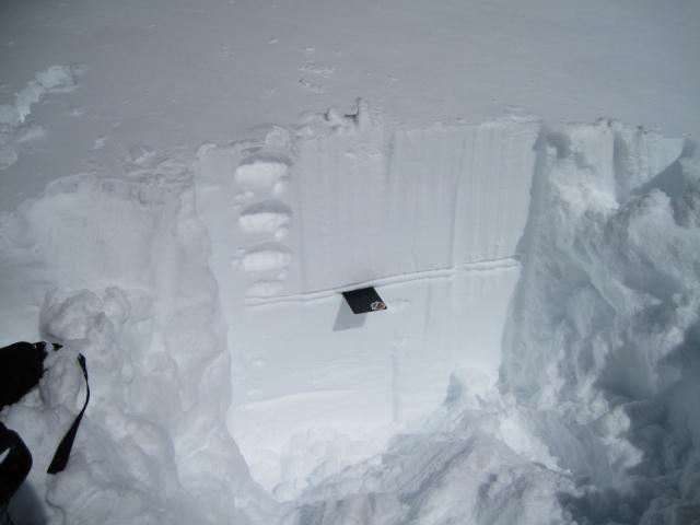
There are so many different layers in the snow pack right now with old wind crusts, storm layers and some sun and heat crusts and it is challenging to keep track of all of them.
Today's Observed Danger Rating
Considerable
Tomorrows Estimated Danger Rating
Considerable
Coordinates
