Observation Date
3/27/2023
Observer Name
Champion
Region
Salt Lake » Big Cottonwood Canyon » Mineral Fork » Highline
Location Name or Route
Mid East Facing - Highline
Comments
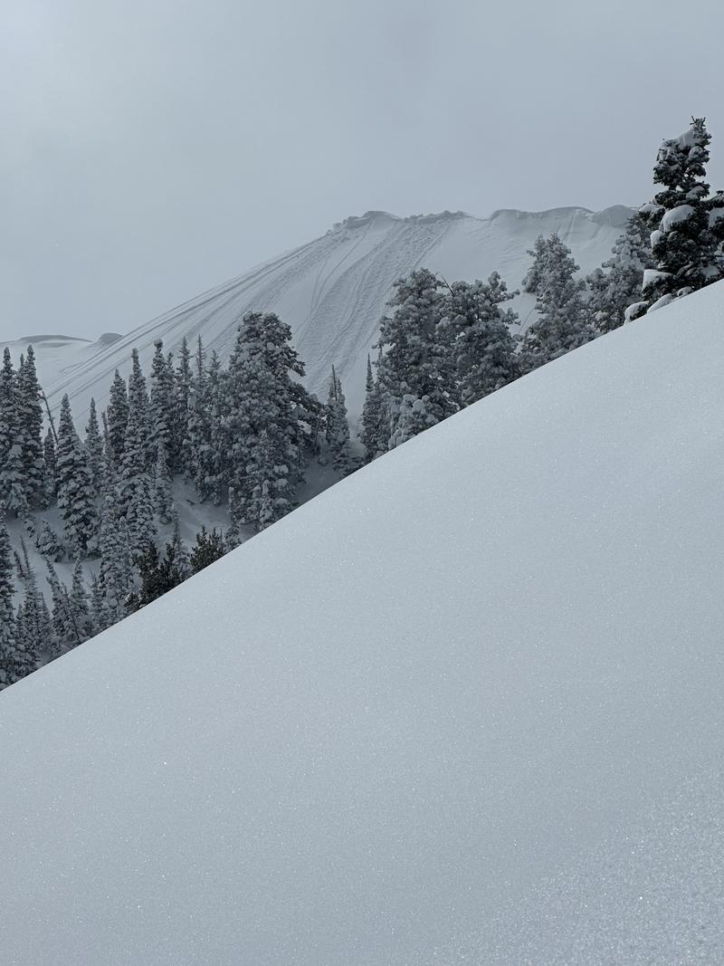
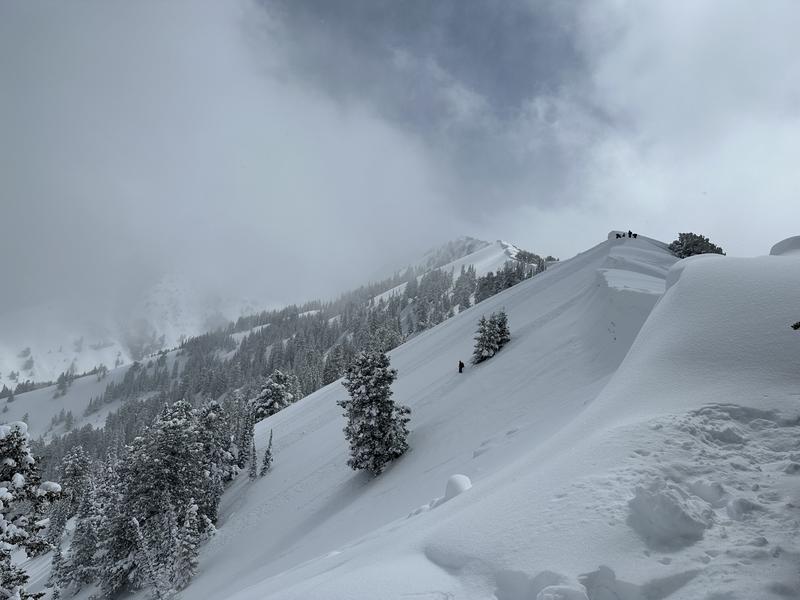
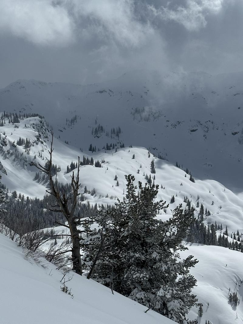
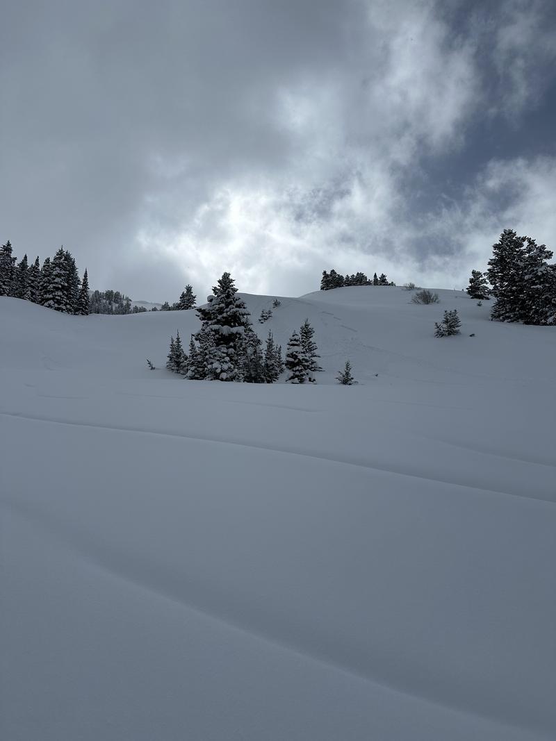
While visibility was limited during the beginning of our tour, once the clouds began to break we could see recent avalanche activity in Monte Cristo Cirque and Bonkers. As well as loose dry avalanches off the Mineral Ridgeline, directly below the cornices, and easily triggered soft slabs of new snow within a new snow old snow interface or density change from the last week. These soft slabs were approx 8-10" deep and did not entrain very much snow.
The primary concern continues to be just how much snow we have been receiving, over the last week we have received between 40-60" of new snow with a few brief breaks in there leading to small density changes, and hardness changes. As we've been saying through all of these storms, the snowpack just takes a bit of time to adjust to such a large load. I think the snowpack will adjust to this new snow generally quickly, but today we still noted obvious instabilities on steep rollovers, particularly on North and East facing aspects. The solar aspects had begun to take on a little bit of heat by the afternoon.
Where we traveled we did not note any obvious signs of wind drifting or instabilities within the wind-drifted snow - but the cornices along the mineral fork ridgeline remain impressive and primed to fail at some point. If we get a few days of either high winds or a quick increase in temperature, I would expect we start to see another cycle of cornices dropping.
During quick hand pits, outside of some density changes I did not find any obvious layers of concern in the upper layering of the snowpack.
Sluffing off of the Mineral Fork Ridgline
Cornices along Mineral Fork Ridgeline
Poorly lit image of large avalanche in Monte Cristo Cirque
Small soft slab of new snow on an NE facing aspect near 8200'.
Today's Observed Danger Rating
Considerable
Tomorrows Estimated Danger Rating
None
Coordinates


