AVALANCHE WARNING!! Tap for info

Observation: Aspen Grove

Observation Date
3/21/2023
Observer Name
Champion/Collet/Manship
Region
Provo » Provo Canyon » North Fork Provo R. » Aspen Grove
Location Name or Route
Aspen Grove/Bob's Knob
Weather
Sky
Scattered
Wind Direction
Southeast
Wind Speed
Light
Weather Comments
Scattered clouds with good visibility and warm temperatures transitioned to a grey bird day and cooler temps.
Snow Characteristics
New Snow Density
Medium
Snow Surface Conditions
Powder
Melt-Freeze Crust
Damp
Snow Characteristics Comments
A variety of snow surfaces in the backcountry. Overall the new snow from Monday-Tuesday's storm is a bit inverted with multiple layers and crusts involved. The tour started warm, and sunny with generally clear skies. Eventually, high clouds began to move in, but visibility remained good and the blue sky was still peaking through in places. This led to a bit of greenhousing/and dampening on the snow surface in the morning hours, primarily on southerlies. Around noon, the high broken clouds transitioned to more overcast skies, and cooler temps. At that point, the snow surface that had become initially damp also seemed to cool a bit.
On the Northerlies, the snow surface stayed initially cooler.
On all aspects, there is currently a new snow, crust, colder snow, and crust interface. Monday into Tuesday a few inches (4-6") of new snow fell, and is sitting atop of stout, generally supportable, crusts across almost all aspects. This fell as cold snow, and graupel at times. Tuesday, mid-day the sun came out for a few hours leading to a smaller solar/temperature crust that we can feel skiing and skinning, but can easily break through. On top of the solar/temperature crust from Tuesday are a few more inches of overnight snow that came Tuesday into Wednesday. Overall, a variety of snow surfaces but the primary concern for me continues to be the stout supportable rain, solar, and temperature crust under the 4-8" of snow.
Mid-storm graupel on skis
Upper layers of the snowpack
Comments
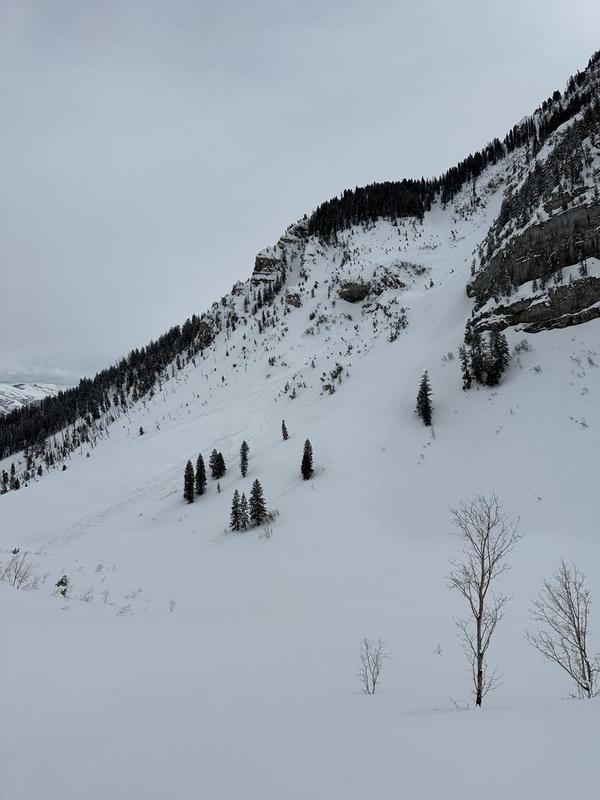
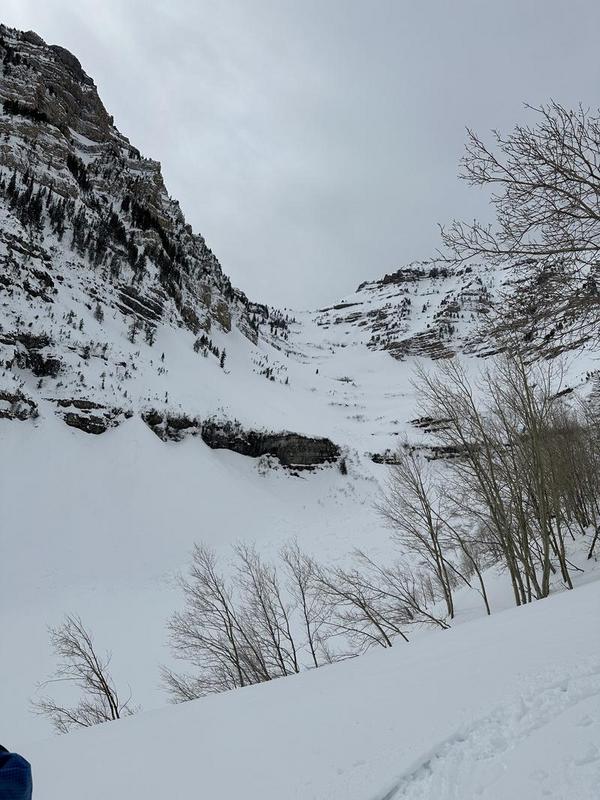
We headed down to Provo to check out the current surface conditions and look at the carnage from last week. The Provo area mountains took a hard hit over the past week. The Aspen Grove area is littered with evidence of recent avalanche activity and large wet debris now covered with a few inches of new snow. On Solar aspects, we also noted recent wet-loose activity that likely occurred Tuesday or early Wednesday morning when the sun came out.
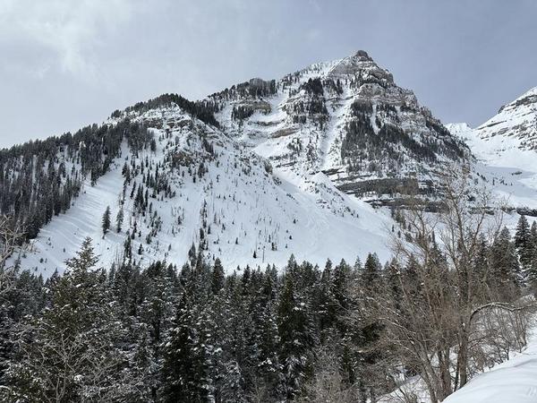
Surprisingly, we were unable to get much more than roller balls to move when pushing into a few smaller, steep terrain features. The snow surface seemed to have become damp but then cooled down again leaded to a bit less sensitivity within the surface snow.

Large wet activity out of Aspen Grove
Large roller balls from the last wet cycle
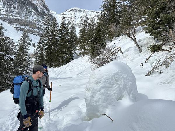
Recent wet-loose activity from Monday or Tuesday
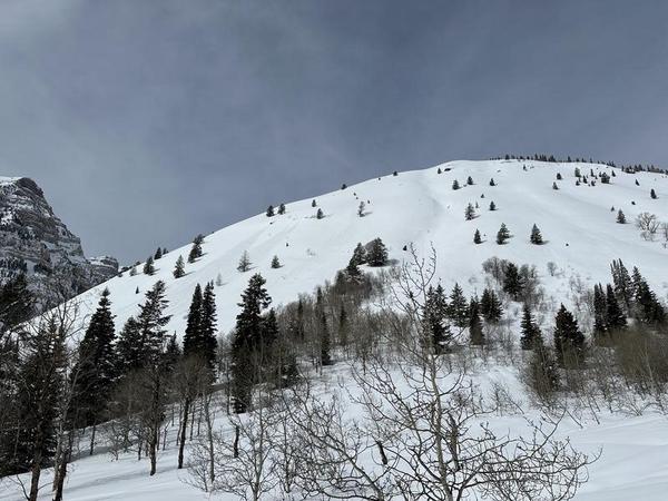
Recent avalanche activity within UFO bowls, directly below cliff band.
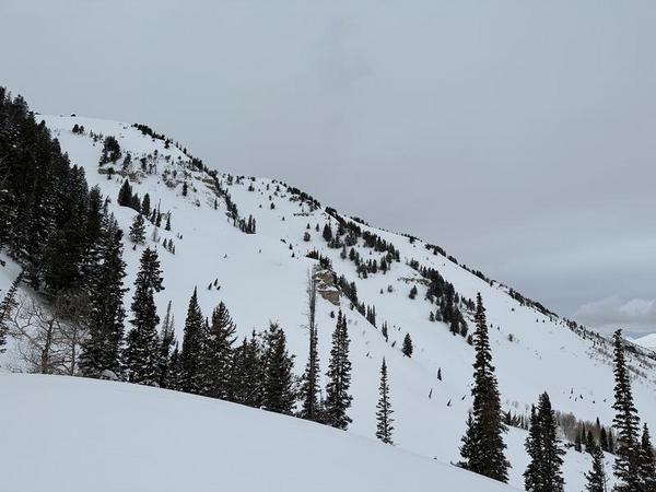
Today's Observed Danger Rating
Moderate
Tomorrows Estimated Danger Rating
Considerable
Coordinates