Observation Date
3/20/2023
Observer Name
Champion/Collett
Region
Salt Lake » Big Cottonwood Canyon » Silver/Days
Location Name or Route
Silverfork/Days
Comments
The riding conditions improved greatly since yesterday. While the initial pulse delivered less snow than expected, it was a nice refresh for the variety of firm surfaces in the backcountry. Along ridgelines, we did not notice very much, of any obvious transport occurring between the hours of 10A - 2:30 PM. Right around 3:00 PM the next pulse of weather moved in, the snowfall began, and obvious drifting was occurring even at mid and lower elevations. We did not notice any natural activity in the zones we traveled, in this initial storm, it just didn't seem like we had the load, or the PI rates to lead to any natural activity. That being said, in small steep terrain features, we were able to get small, long-running loose dry avalanches of new snow failing atop of a firm solar crust. These avalanches only failed within the new snow, a few inches deep, but did easily entrain snow. These avalanches speak to the sensitivity and variety of good bed surfaces that currently exist in the backcountry. Any weak grains that did exist on firm crusts may now be capped by a few inches of new snow. In the upcoming days, we will have more precipitation and more wind, and I would expect to see more widespread avalanches failing on this layer.

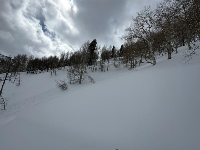

Broken skies along the Silver/Days Ridgeline
Easily triggered loose dry avalanche entraining a decent amount of snow as it moved down slope.
Debris entrained in loose dry avalanche
Today's Observed Danger Rating
None
Tomorrows Estimated Danger Rating
None
Coordinates


