
Observation Date
3/13/2023
Observer Name
Champion/Coyne
Region
Salt Lake » Big Cottonwood Canyon » Mineral Fork
Location Name or Route
Low East Facing
Comments
Headed out to find the rain line from the weekend's atmospheric river event, and look for any weaker, faceted snow beneath the new snow and wind-drifted snow. The snow, rainline for mineral fork seemed to sit right around, or just below 8000'. Below 8000' the snow surface was damp, with signs of roller balls, pinwheels, and previous debris from the weekend. Above 8000', the snow surface was beginning to become damp from green housing but overall well preserved as medium-density powder. While the winds were calm today, the cornices along ridgelines are massive. There were no signs of obvious cornice fall recently.
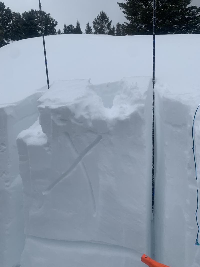
We dug a pit around 8000' on an east-facing aspect. This was in a zone that gets a bit of wind and was a bit more scoured making the overall snow depth only 185cm. Generally shallower than a lot of areas right now. The new, medium-density snow was primarily graupel and rimmed stellar sitting atop of broken precip particles andwind-packedd grains. Approx a meter down, we did find 5 cm of rounding facets. These grains were primarily rounded but did still have some sharp edges. We were unable to get any failure on this weak layer. Everything below this layer was 1F rounds. While we got no results on this layer, it was a good reminder that this weaker snow exists. This morning Drew mentioned that isolated areas of faceted snow do exist, and while the likelihood of triggering an avalanche on this layer may be low, if the layer still exists it could still be possible as we go into another atmospheric river event this weekend. Good to throw your shovel in the snow, and look for weaker grains.
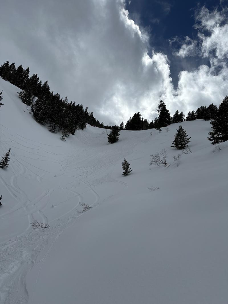
Traveling downhill the upper 500' of skiing remained generally cold, and soft. Once we tipped a bit more solar or dropped in elevation we began to push around a bit more snow. Creating small roller balls, and easily releasing the upper few inches of snow.
Pit profile, ECTX - faceted layer marked with line.
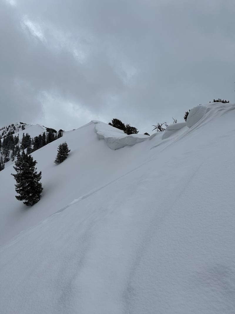
Large Cornices along ridglines
Upper few inches of snow surface becoming damp and creating widespread roller balls.
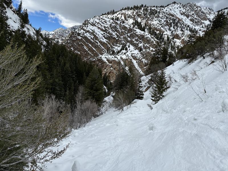
Lower elevation evidence of wet activity over the weekend.
Today's Observed Danger Rating
Moderate
Tomorrows Estimated Danger Rating
None
Coordinates


