Observation Date
3/4/2023
Observer Name
Nauman, Ament, Howell, Darling
Region
Moab
Location Name or Route
Lone Pine
Weather
Sky
Overcast
Wind Direction
South
Wind Speed
Moderate
Weather Comments
The wind increased through the day and was quite strong in exposed spots. There was considerable wind transport of snow on Tukno, Tuk, Haystack and other prominent features.
Snow Characteristics
Snow Surface Conditions
Powder
Wind Crust
Melt-Freeze Crust
Snow Characteristics Comments
The snow was still pretty soft on north aspects. The increasing wind will probably change that by tomorrow for unsheltered areas. We were definitely encountering developing wind slabs at treeline. Solar aspects are pretty crusty.
Red Flags
Red Flags
Recent Avalanches
Wind Loading
Cracking
Poor Snowpack Structure
Red Flags Comments
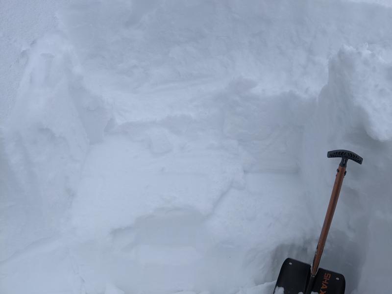
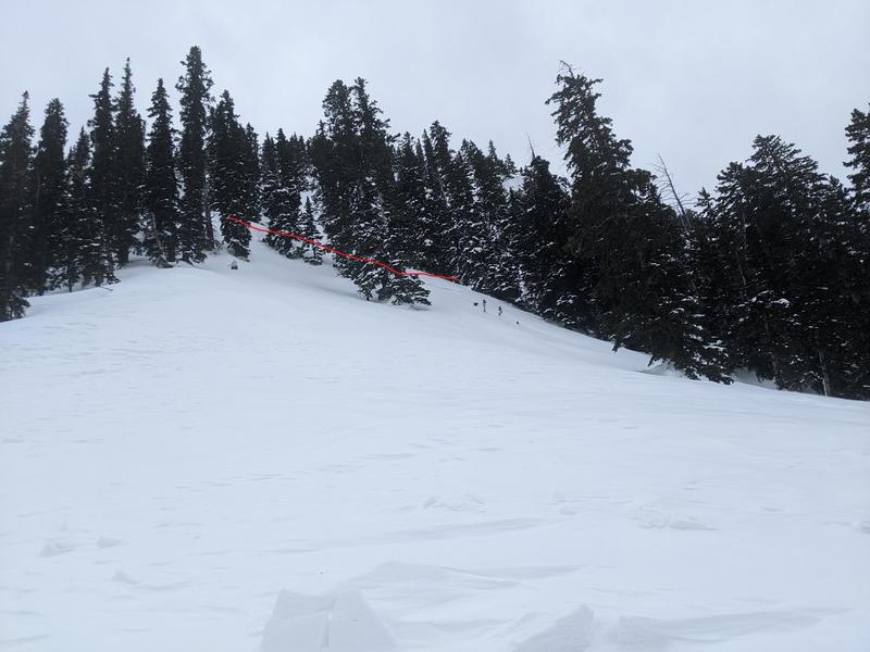
Right at treeline we encountered wind slabs that were starting to get reactive. The snow was super variable underneath the recent snow. We dug a put below the Valentines day interface to the old snow and got an ECTP 17 on top of an old harder wind crust (I think). This put us in caution mode and we didn't go up higher into steeper areas. Interestingly, we went 2 kick turns higher, and where we switched over we found ~2.5 mm facets underneath the new snow that was actively forming a wind slab. I also did a quick pit on Tele Heaven and the new snow popped off an old faceted snow surface quite easily. We also saw a small wind slab avalanche observers right of tele heaven (Pic Below) in the steep narrow shoots that probably ran during the Wednesday snow cycle. North faces seem pretty reactive right now and also quite variable.
Avalanche Problem #1
Problem
Wind Drifted Snow
Trend
Increasing Danger
Problem #1 Comments
New wind slabs were forming quickly this afternoon and the forecast seems like it will be more of the same. There is still plenty of loose snow to blow around. With the predicted wind and snow available for transport, I would probably call tomorrow considerable for the forecast.
Avalanche Problem #2
Problem
Persistent Weak Layer
Trend
Same
Problem #2 Comments
Our old snow surface interfaces have a variety of issues going on. Some areas have really well developed facets from our high pressure before valentines day. Other areas haven't bonded to wind crusts, and some areas feel pretty solid. It's complicated...
Comments
Here is the shear surface from our ECTP 17. It was a clear propagation, but also wasn't super clean. The shear surface on the left side was not comforting.
We came across a small wind slab avalanche that probably pulled out during the last storm on Wednesday. There was some debris from it in the foreground.
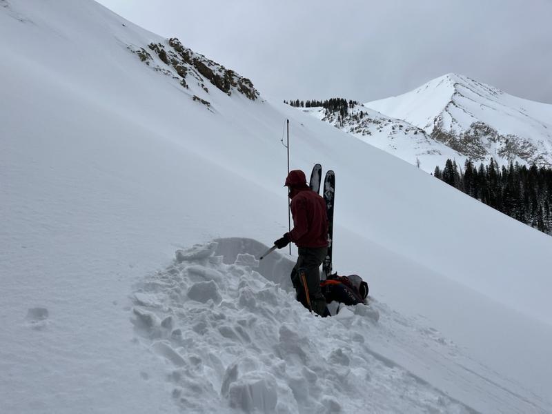
Gray and ominous day in the mountains.
Today's Observed Danger Rating
Moderate
Tomorrows Estimated Danger Rating
Considerable
Coordinates


