Observation Date
3/1/2023
Observer Name
Hardesty, Armitage, Weber, Preston
Region
Salt Lake » Parleys Canyon
Location Name or Route
The Burn, Another Roadside Attraction
Comments
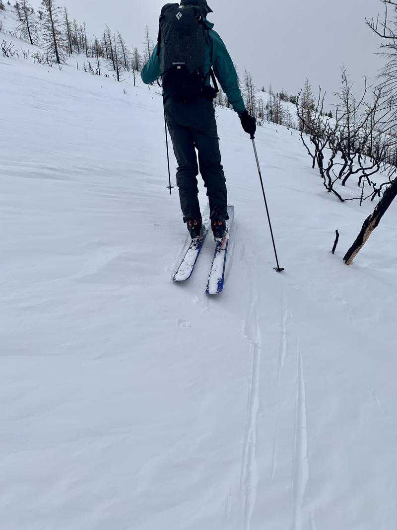
VARIABLE snow conditions and VARIABLE structure. Found extensive wind damage at the mid and low elevations. A checkerboard of hard slabs of wind drifted snow (photo) that did not react with human weight or ski cuts on test slopes.

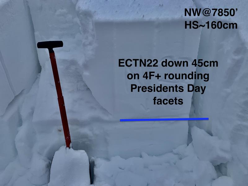
I went looking for wind slabs and the buried President's Day thin layer of facets that have been noted since then. The facets were buried 40-50cm and noticeable but not reactive with snow tests. (ECTN20s)

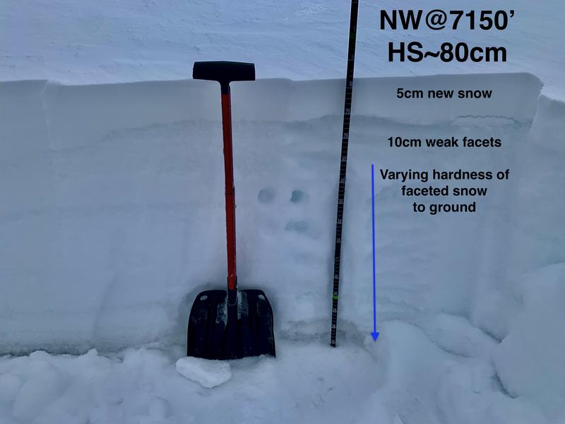
What I didn't expect was to find such significant variablity - a (probably) wind scoured area (NW@7150') held less than 1m and it showed: the entire snowpack was nearly comprised of - how do you say this - right-side-up structure of faceted grains, the weakest just beneath last night's couple inches of snow. See photo below.
It is possible that one might find this isolated structure capped with a hard wind slab, but A-this structure seemed isolated and not representative, and B-the slab probably would not be very well connected if triggered.

Today's Observed Danger Rating
Moderate
Tomorrows Estimated Danger Rating
Moderate
Coordinates


