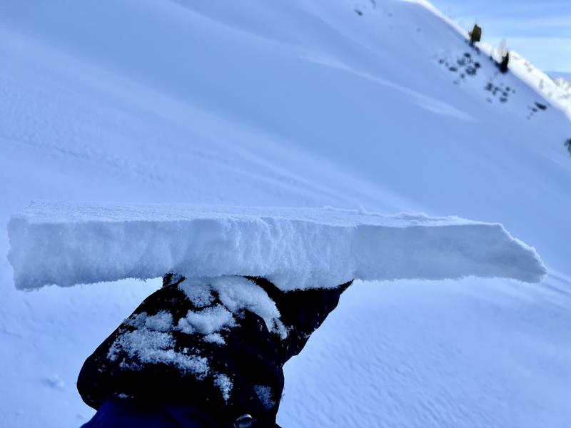
While the current snowpack has very few instabilities of concern, the snow surface throughout the weekend are important to pay attention to as Sunday night's precipitation approaches,
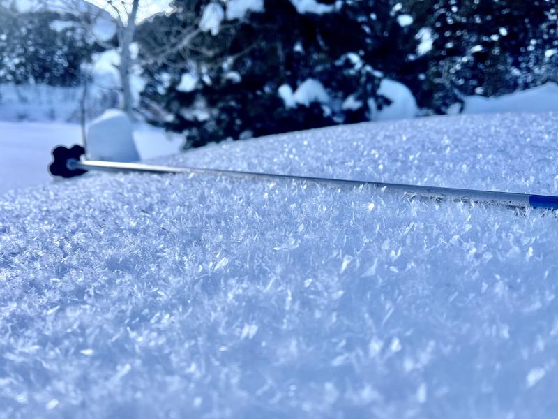
With inversion, sunny days and cold nights surface grains are weakened. Many are in the form of Near-Surface Facets (NSF), some of these as south-facing Radiation-Recrystalization (RR) grains on top of melt-freeze crusts and Surface Hoar (SH) in wind-protected areas (Pic 1).
These weak surface grains may all be in play in respective areas once Sunday's snow caps them.
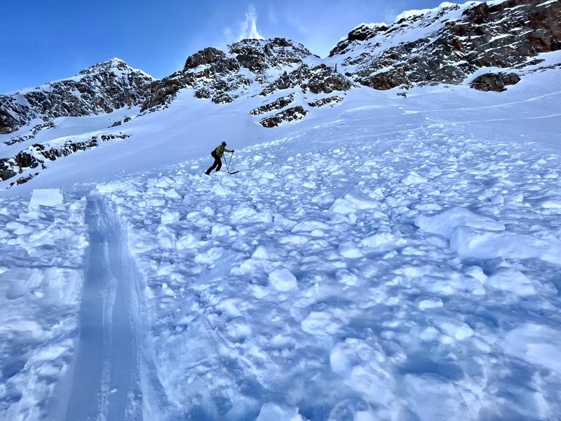
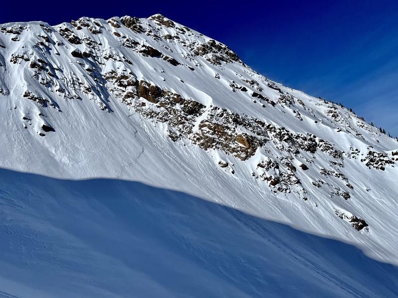
Today's travel in Broads, Lisa Falls and Stairs showed no new avalanche activity but did have examples of recent wind-affected storm slabs (Pics 2 &3) as well as the building wind-slab in alpine terrain (Pic 4). I anticipate wind slabs continuing to build in the alpine through this evening, creating the possibility for isolated human-triggers in the coming days.