Observation Date
1/13/2023
Observer Name
Ted Scroggin
Region
Uintas » Camp Steiner
Location Name or Route
Hwy 150, Steiner
Weather
Sky
Overcast
Wind Direction
Southeast
Wind Speed
Moderate
Weather Comments
High thin clouds for most of the day with filtered sun and mild temps even up at 10,000'. Southeast winds were generally light until you moved along the exposed ridge lines where they were more gusty and there was minor snow transport.
Snow Characteristics
Snow Surface Conditions
Powder
Faceted Loose
Wind Crust
Snow Characteristics Comments
Great soft settled snow with a deep snow pack and some wind affected conditions up on the higher ridge lines. There was some fresh surface hoar today that was getting blown around where it was exposed to the wind, but staying protected in the sheltered areas. Might be something that is reactive if it gets buried with the next series of storms.
Red Flags
Red Flags
Recent Avalanches
Wind Loading
Poor Snowpack Structure
Red Flags Comments
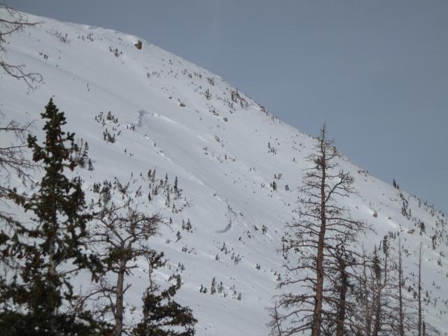
One fairly recent natural avalanche on a steep, thin and rocky east facing slope was a good clue that this type of terrain is still capable of avalanching. There was minor wind drifting today in this location with the loose surface snow.
Avalanche Problem #1
Problem
Persistent Weak Layer
Trend
Same
Problem #1 Comments
Kind of feels like the persistent weak layer is decreasing in danger where it is deep. I dug a pit with 165cm of total snow depth which is quite amazing for this area. However, in terrain where the snow pack has stayed thin and rocky it is still a good possibility of triggering an avalanche and more snow and wind for this week will be another stress test.
Avalanche Problem #2
Problem
Wind Drifted Snow
Trend
Increasing Danger
Problem #2 Comments
There is enough loose surface snow to drift and develop soft and hard wind slabs as a series of storms move into the area.
Comments
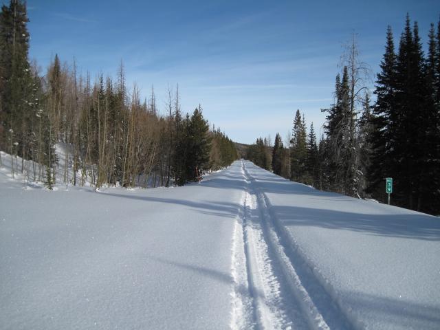
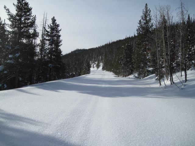
It was a great morning for a ride up the highway with lots of recent powder snow and good visibility.
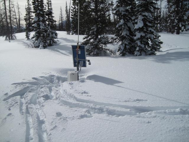
I traveled by the Steiner Weather Station and it may need an extension on the snow sensor before it gets buried and there is still lots of winter left.
This natural avalanche on a steep thin and rocky east facing slope in the Ruth Lake area is a great clue to the type of terrain where a persistent weak layer avalanche is possible. It generally felt like a moderate hazard today with some specific terrain that would have a considerable hazard as the recent natural avalanche verifies.
Today's Observed Danger Rating
Moderate
Tomorrows Estimated Danger Rating
Moderate
Coordinates


