Observation: Moab

Observation Date
1/4/2023
Observer Name
Charlie Ramser & Maggie Nielsen
Region
Moab
Location Name or Route
Laurel Highway, Funnel
Weather
Sky
Scattered
Wind Speed
Calm
Weather Comments
Full sun at times. Sun intensity reduced by clouds at times. Beautiful day in the mountains.
Snow Characteristics
New Snow Depth
10"
New Snow Density
Medium
Snow Surface Conditions
Powder
Snow Characteristics Comments
Supportable skinning. Excellent skiing.
Red Flags
Red Flags
Recent Avalanches
Poor Snowpack Structure
Red Flags Comments
Many recent avalanches. Faceted, unconsolidated snow buried 1m or more on all aspects. Hard to keep track of recent avalanches. I am attempting to report several of them in separate avalanche reports. It also looked like there was another slide in Exxons, high up skiers left above the previous crown that Eric reported from 12/27/22. The debris pile from many of the avalanches with visible crowns have been snowed over and out of sight. Some new visible debris and crowns were revealed today with clear skies. The latest avalanche cycle may have occurred during precip event or sometime after. A party on the Laurel Highway today reported seeing a cloud of snow and that they saw one of the slides occur, however that report was unclear. Recent natural avalanches range from NW-N-NE, it looked like there have been fewer on W and E aspects. Saw no recent avalanches on SW-S-SE aspects. Shout out to Dave on the Laurel Highway 'The backcountry is the place to be CONSERVATIVE'
Avalanche Problem #1
Problem
Persistent Weak Layer
Trend
Same
Problem #1 Comments
Right now we have a widespread PWL all around the compass and elevations. Due to the incredible amount of snow, the PWL is buried deep enough to slowly start changing and moving towards a better structure. But we are talking weeks or months, not days. In the meantime, if we see a failure on this layer it will be a large avalanche.
Avalanche Problem #2
Problem
New Snow
Trend
Decreasing Danger
Problem #2 Comments
We noticed some reactivity in the new snow, specifically the storm slab on top of the rime crust.
Snow Profile
Aspect
West
Elevation
11,400'
Slope Angle
20°
Comments
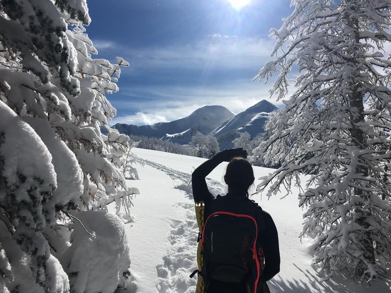
Lots of squinting our eyes today trying to read all the recent flabalanche activity. We went out exploring trying to get more info on how sensitive PWL is on sunny aspects. Right now it's pretty clear NW-N-NE avalanche terrain is unsafe.
Maybe need to change a couple lyrics here, but informative nonetheless.
Video
Snowpit on W aspect was interesting. Seemed like triggering a soft slab in the top portion of the snowpack was possible, a deeper hard slab failing on the facets seems less likely but very high consequence. Layers to note: Nov facets, rime crust. For how deep the snowpack is it has remarkably few firnspiegels.
All of the facet crystals from different layers looked like they were rounding vs faceting. The temperature profile supports that trend. Many of the layers were cohesive and slabby, but taking a look at the crystals reveals squared edges and signs faceting had occurred.
We did one CT and one ECT.
Other comments from the snowpit "I never forget how hard shoveling is, but I'm always reminded."
Today's Observed Danger Rating
Considerable
Tomorrows Estimated Danger Rating
Considerable
Coordinates