Observation Date
12/29/2022
Observer Name
Charlie Ramser, Lee K-U
Region
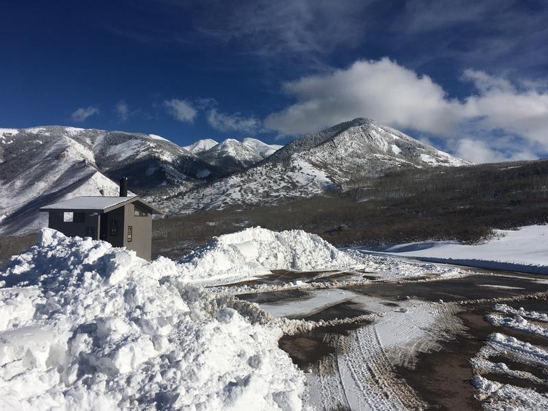
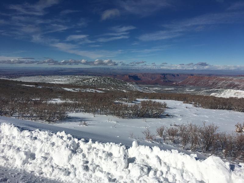
Moab
Location Name or Route
Hazzard County/Gold Knob
Comments
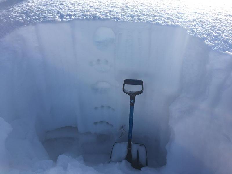
CT 13 SP - just below melt freeze crust and at the top of Nov facet layer. ~15cm
ECTP 12 - same.
HS 105cm
We dug two snowpits today. The first we just checked out hardness, 8,500ft. It lacked a slab over weak layer profile. Skinning was mostly unsupportable and punchy. Despite that, while traveling through this zone, we herd recurring whumpfing and experienced several weak layer failures. One of the collapses was so pronounced that it propagated all around us and even small trees 100ft away were shaken snow rattled off of them.
Our second pit, 9,000ft, had only slightly higher HS. We did a CT and ECT, results above. This higher elevation zone felt a bit difference. Looking at snow hardness there was more clear slab over weak layer. Additionally, skinning through this area was noticably more supportable and we experienced much less collapsing. Perhaps the slab was bridging our load. Still reactive with ECT12.
No matter which way you bake this pie, the recipe will is bound to fail.
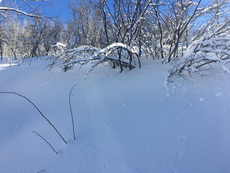
At some point we needed to skin across a 30 deg slope. After a couple slope angle checks, we went for it. In the photo of the bush you can faintly see the red line and a crack in the snow above it. This is where the avalanche crown would have been if we were on anything steeper. Red flag, remote triggers.
Today the forecasted danger rating of considerable on all aspects and elevations seemed rather poignant - getting into trouble today could have happened on any steep slope above the loop road. Also, there has been limited early season obs and information collected throughout the range. My observed danger rating of high is not to dispute the forecast, however, based on the continued collapsing we experienced and how far we saw those failures propagate, human triggered avalanches on steep slopes with similar snowpack would have been expected.
Tomorrow we should expect to see similar instability, but the weak layer will be slowly adjusting to the recent load. We will likely be entrenched in this for a while and need to be incredibly careful as we travel in the mountains, due to the nature of the PWL along with the expected precip in the forecast.
Good news, more snow and water for later!!
Today's Observed Danger Rating
High
Tomorrows Estimated Danger Rating
Considerable
Coordinates


