Observation Date
12/21/2022
Observer Name
CBrown
Region
Salt Lake » Big Cottonwood Canyon » Mill D South
Location Name or Route
Mill D South
Weather
Sky
Obscured
Precipitation
Light Snowfall
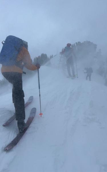
Wind Speed
Strong
Weather Comments
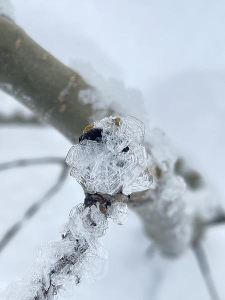
Winds increasing in PM, more blow than snow, S-1, mostly PPgp. Winds were loading and stripping in all directions
Snow Characteristics
New Snow Depth
2"
New Snow Density
High
Snow Surface Conditions
Powder
Dense Loose
Faceted Loose
Wind Crust
Melt-Freeze Crust
Snow Characteristics Comments
12/20 Mill D North Low angle slopes and northerlies were holding cold settled powder (quite a bit of settlement with the storm snow from last week). Steeper W & E as well as southerlies have MF. Snow surface has weakened quickly, especially in drainage bottoms with the recent cold temps and temperature inversions since Saturday. Large SH growth in drainage bottoms with high RH and cool temperatures See Spruces
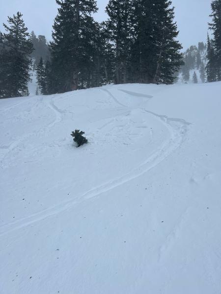
12/21 Mill D South Mod-Strong winds raking the snow surface, rocks getting exposed on LSB and moraines below cardiac ridge
Red Flags
Red Flags
Recent Avalanches
Wind Loading
Cracking
Collapsing
Poor Snowpack Structure
Red Flags Comments
12/20 and prev 4 days -The low elev and lower mid elev still hold poor structure. Off aspects showing poor structure but limited to no results with snowpit tests over the last few days. Most suspect of the PWL in sheltered northerlies mid/low elev and shallower snopack areas (ie Millcreek, PC ridge, Mineral Fork). Mid/high elev in the core I have been seeing deep pack (HS150-~220cm) with the NDL/NFL rounding, gaining strength and protected by hard slab and 70cm+ deep in many places. Off aspects and low/mid elev seeing shallower weaker snowpack with ECTP results or poor structure.
12/21 WIND, lots of wind, loading and stripping on all aspects, wind slab on all aspects upper/mid w/ stripping in similar aspects/elev. Wind slabs were touchy on small features upper/mid elev N half where the bed surface was smooth and suspected small weak layer of FCsf/SH that developed over the few days of high pressure. Wind slabs were stubborn and unreactive on southerly slopes where the bed surface was skied up/rough and lack of FC weak layer. Exited the field at 15:00 yesterday as winds continued to pick up and PI rates increased.
Avalanche Problem #1
Problem
Wind Drifted Snow
Trend
Increasing Danger
Problem #1 Comments
All aspects and at least upper/mid elev. seemed more sensitive on northerly slopes. Continued development with the winds.
Avalanche Problem #2
Problem
Persistent Weak Layer
Trend
Decreasing Danger
Problem #2 Comments
Comments
SH in Mill D north. Be aware of preserved/buried SH in drainages where it is protected from the wind and there are small steep slopes into terrain traps (trees/gullies). Small unsuspecting features
WIND
small reactive wind slabs
Today's Observed Danger Rating
None
Tomorrows Estimated Danger Rating
None
Coordinates