Observation Date
2/20/2022
Observer Name
Derek DeBruin (w/ Zinnia & Ben)
Region
Ogden » Ben Lomond » Cutler Ridge
Location Name or Route
Ben Lomond, Cutler Ridge
Weather
Weather Comments
Sunny early, with the front in position along the ridgeline by about 1030am, and increasingly cloudy skies, overcast by afternoon. Moderate winds out of the southwest starting around 7200ft, with wind speed generally increasing with elevation, and the occasional strong gust at the ridgeline. No precip yet by 330pm.
Snow Characteristics
Snow Characteristics Comments
Snow surface is quite the mixed bag. Stout surface refreeze crust at low elevation yielded to softer conditons into the mid elevations. The northern quadrant of the compass at mid elevations no longer has the subsurface crust, meaning dense recycled powder (facets) all the way down. When it was possible to find sheltered terrain, this made for soft turns. Wind affected surface snow began around 7600ft, with the occasional 2cm wind skin fracturing a bit directly underfoot. Above 8300ft or so, most snow was either wind affected or scoured. From the saddle to the summit, the surface was either sastrugi or exposed bullet crust. By mid afternoon, low elevation snow was getting warm and slushy.
Comments
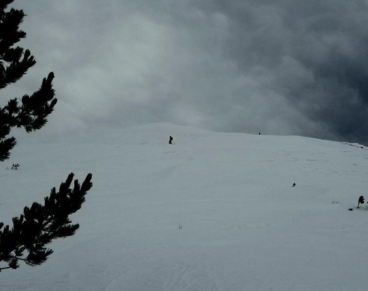
New snow bonding to the varied surfaces seems to be the most significant concern. With the meager snow totals in the forecast, I'll be continuing to watch for long running sluffs and pockets of wind slab. Photo: foreboding sky above, sastrugi underfoot on the shoulder of Ben Lomond.
Today's Observed Danger Rating
None
Tomorrows Estimated Danger Rating
None
Coordinates