
Observation Date
1/11/2022
Observer Name
Bill Nalli
Region
Salt Lake » Little Cottonwood Canyon » White Pine
Location Name or Route
White Pine
Comments
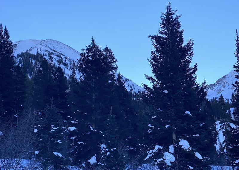
I spent the day on many aspects and elevations in upper White Pine. Lots of people out there today and the days prior but everyone was mostly spread out and well behaved. I ventured out onto steeper north and northeast aspects for the first time this season without incident and with increasing confidence. There is lots of evidence of recent big avalanches from Red Baldy to Lake Peak to Dog Dish. For posterity I submitted a separate observation of avalanches on Lake Peak. It's important to be able to pick out slopes that have avalanched previously and those that haven't. There are some that have slid more recently and only have a few inches to a foot of new snow on top and then there are others more suspect that have over a meter and its hard to tell if there are old facets still lurking below.
I found myself scanning the terrain looking for likely areas where one could still possibly trigger one of the deeper persistent weak layers.
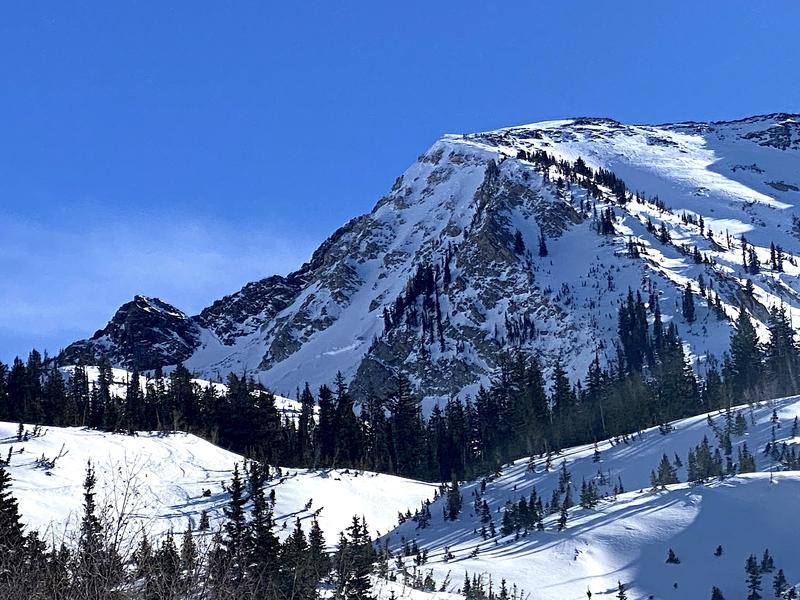
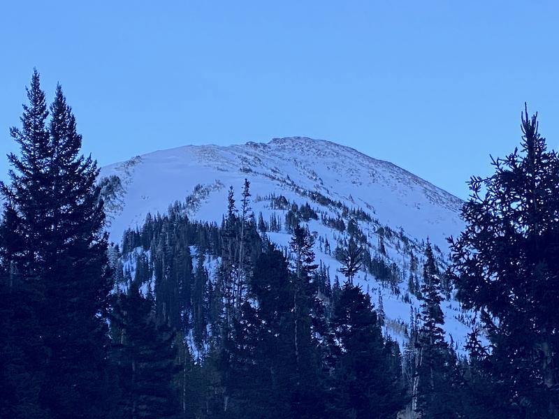
Pic 1 is of the east side of upper White Pine with East Pass in center. You can see a deep avalanche visible on the lower right on the NE aspect of Red Baldy at 10,400' (pic 2 zoomed). On the upper left of the photo you can see similar characteristics in the starting zone of the Birthday chutes looking fat and suspect with a steep slope angle and rocky starting zone (pic 3 zoomed).
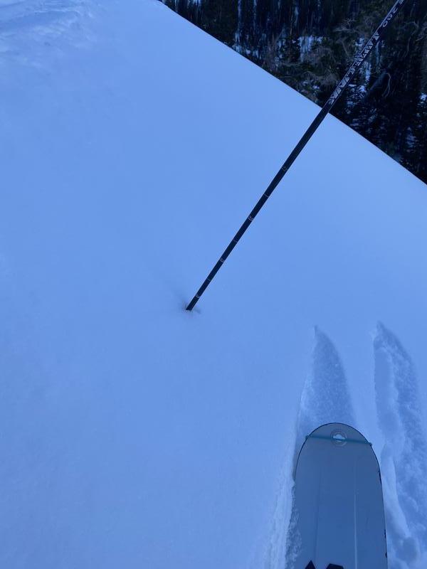
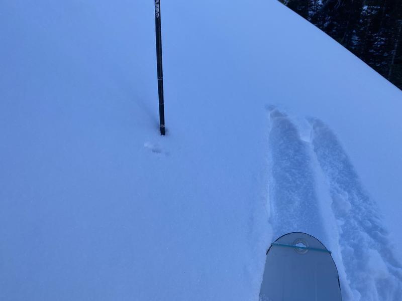
My survey of snow depths along the way shows deep, excellent coverage from about 8000' and above. Average depths on shady aspects at around 8500' are 120cm-150cm. Higher up in the alpine depths range from as low as 30cm on slopes that have avalanched most recently to 250cm-280cm on lower angle favored snow locations. These numbers are taken perpendicular to the slope angle as opposed to vertically like in a snow profile. Pic 1 vs. pic 2.
In general, coverage looks very good for this time of year in the Wasatch. Too bad there's no more storms in our immediate future. The weakest snow I found is in the deteriorating snow surface on sheltered terrain. Look to this as our next problem layer whenever we get more snow.
Today's Observed Danger Rating
Moderate
Tomorrows Estimated Danger Rating
Moderate
Coordinates


