Observation Date
1/7/2022
Observer Name
Bruce Tremper
Region
Salt Lake » Park City Ridgeline
Location Name or Route
Park City ridgline - No Name Bowl
Weather
Sky
Scattered
Wind Direction
South
Wind Speed
Strong
Weather Comments
Finally better visibility than the past few days. Scattered clouds in the morning but turning to thick clouds by the end of the day. Still fairly strong winds but have switched to coming from the south.
Snow Characteristics
Snow Surface Conditions
Dense Loose
Wind Crust
Snow Characteristics Comments
The very dense 11 inches of snow from a couple days ago has continued to solidify. Widely variable snow surface conditions ranging from wet snow at lower elevations to wind blasted snow at upper elevation, wind exposed ridges (and no snow on the windward side). The only turnable snow remains on wind and sun sheltered slopes at medium to high elevations. For instance, aspen of evergreen forests that face northwest north through east above about 9,500'. There you can still find soft dry, but very dense rimed snow that rides very fast so you don't need to be on steeper slopes. I hope the little bit of forecasted snow overnight and on Saturday will help conditions.
Red Flags
Red Flags
Wind Loading
Red Flags Comments
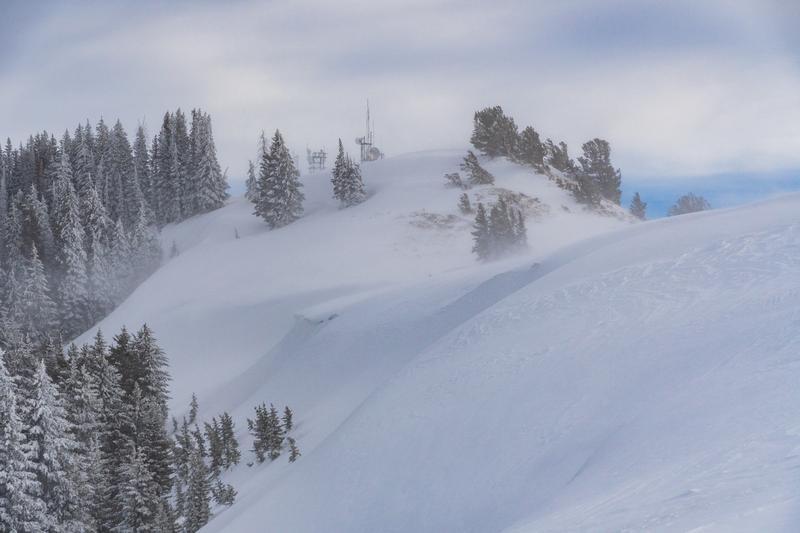
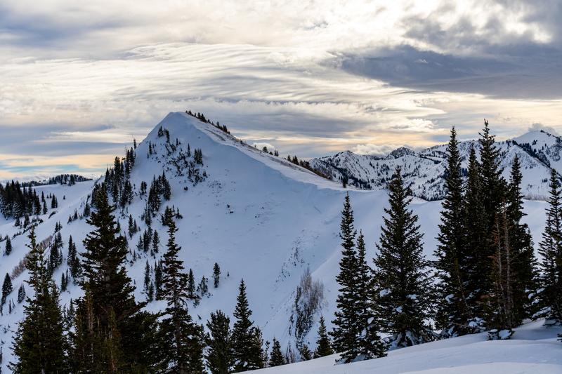
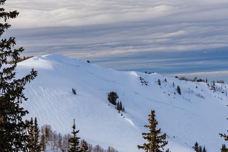
Although the lower and mid elevation winds diminished today, the wind continues to blow strongly from the south on the upper elevation wind exposed terrain, where travel is still quite miserable. With the better visibility, we decided to take a walk along the Park City ridgeline from the Monitors to No Name Bowl to Scott's Peak. With all the dense, hefty snow combined with very strong winds these past few days, it seemed that the steep east facing slopes along the PC ridgeline would likely have some fresh avalanches. Yet even though they were all very fat looking with huge deposits of wind drifted snow, I did not see any recent avalanches. I could still see the older avalanches on the east side of Scott's Peak (Radar Love) and the big slide in West Monitor. But the wind drifted snow has filled them in quite a bit. Not surprisingly, we saw very few people out today, especially along the windy PC ridgeline. I saw no tracks into the Monitors, or any other of the big east facing avalanche paths along the ridge. This gives me more hope for people behaving in a sane manner. Although the big depth hoar avalanches to the ground are likely low probability of triggering, the consequences are enormous. So I'm not going near them for perhaps another week.
Avalanche Problem #1
Problem
Wind Drifted Snow
Problem #1 Comments
Yes, lots of wind slabs everywhere, but they are settling out very quicklly because they are so dense and warm.
Avalanche Problem #2
Problem
Persistent Weak Layer
Problem #2 Comments
Still monsters in the basement but they are buried quite deep now. The buried depth hoar near the ground has been insulated by copious amounts of new snow so it is slowly gaining strength. Also since so much new snow is sitting on top, each loading event adds a smaller and smaller percentage change to the weight it's holding up. So, each storm does not make the depth hoar as cranky as when it was loaded the first few times. Also, the overlying, very stiff slab helps to bridge the weight of a person or snowmobile out to area of snow, like putting a plywood board on your mattress, it spreads your weight out.
Comments
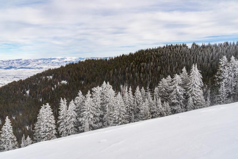
A few photos: 1) still wind loading along the Park City ridgeline making the tops of the east facing avalanche paths very fat with a huge amount of snow weight. Wind loading still in progress today. 2) the wind loading off the ridge has plastered the fir and spruce with lots of wind drifted snow, making a photogenic contrast. 3) The old avalanche off Scott's Peak, which is now mostly filled in by wind loading, 4) The monster avalanche from several days ago in West Monitor is still visible but partially filled in.
Today's Observed Danger Rating
Considerable
Tomorrows Estimated Danger Rating
None