Observation: Twin Lakes Pass

Observation Date
12/29/2021
Observer Name
Kelly
Region
Salt Lake » Little Cottonwood Canyon » Grizzly Gulch » Twin Lakes Pass
Location Name or Route
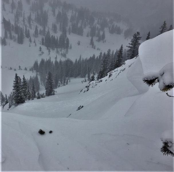
False Flagstaff-East Pass-Twin Lakes Pass
Weather
Sky
Overcast
Precipitation
Light Snowfall
Wind Direction
Southwest
Wind Speed
Moderate
Weather Comments
As forecasted the winds picked up this afternoon from the SW with light snow S-1. Cold temperatures 6/7f as measured at 10,500'. Overcast to obscured skies with some limited visibility into upper drainages as clouds moved through.
Snow Characteristics
New Snow Density
Low
Snow Surface Conditions
Powder
Dense Loose
Snow Characteristics Comments
Trace of new wind blown snow with growing cornices noted on the north facing ridgelines above Silver and Days Fork. Some cracking in the new snow less than 6" deep isolated to skis on steeper north and east facing portions of the ridge. Some of the southerly aspects had a breakable melt freeze/rime crust that was wind blown in spots. I noted some areas North facing around 9200' that still had intact graupel under about a foot of snow. This graupel seems to be slower to heal and I was still seeing hand shears isolated to areas where the graupel had pooled.
Red Flags
Red Flags
Wind Loading
Cracking
Red Flags Comments
Noted cornice growth on north facing ridgelines with one small natural cornice fall skiers right of Two-Dogs that broke into dry loose new snow D.5. Some other cornices above the Silver Fork Headwall that looked as though they were assisted by humans with no results into the new snow. I observed what looked like a couple of old crowns on the more NNW facing sections of East Bowl at about 10,000' and 10,200' that had wind blown snow in them and were probably from a couple of days ago.
Avalanche Problem #1
Problem
Persistent Weak Layer
Trend
Same
Avalanche Problem #2
Problem
Wind Drifted Snow
Trend
Same
Wind drifted snow on North-East facing terrain was adding weight. This in and of itself may cause problems, but the bigger concern would be slopes with the PWL intact or areas that have previously slid with small grain facets under wind drifted snow. I would give these slopes a wide margin as we move into another storm cycle. These slides have the potential to run wide and deep if triggered. I would stick with the high end of Considerable for avalanche danger and made my travel plans for today based on this rating.
Today's Observed Danger Rating
Considerable
Tomorrows Estimated Danger Rating
Considerable
Coordinates