Observation Date
10/26/2021
Observer Name
Torrey & Hardesty
Region
Salt Lake » Big Cottonwood Canyon » Brighton
Location Name or Route
Brighton
Comments
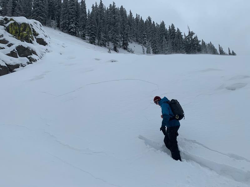
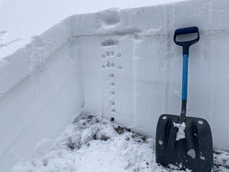
8 to 10 inches of dense new snow fell around the Brighton area. The westerly winds drifted snow at mid and upper elevations throughout the late morning and early afternoon. We walking up onto on a small north-facing wind-loaded test slope and had a crack propagate within the new snow roughly 50 feet across the slope. I was able to trigger a small soft slab on a steep wind-drifted slope. For now, this is a great looking snowpack structure. Each layer is quite moist and the layer hardness becomes progressively firmer as you move down through the snowpack to the ground. The old snow surface (the dark layer in the photo) was saturated and remained soft in most areas; however, in areas with less snow or on slopes that are more exposed to the wind, the old snow surface was frozen and breakable.

Today's Observed Danger Rating
None
Tomorrows Estimated Danger Rating
None


