Observation Date
3/16/2021
Observer Name
Ted Scroggin
Region
Uintas » Bald Mountain
Location Name or Route
Hwy 150, Bald Mt.
Weather
Sky
Broken
Precipitation
Light Snowfall
Wind Direction
Northeast
Wind Speed
Light
Weather Comments
A mixed bag of weather today with generally clear skies starting out at the trail head, broken skies up near the Bald Mt. with some light snow falling, then mostly to partly cloudy throughout the day. The winds were from an easterly direction and mostly light in speed.
Snow Characteristics
New Snow Depth
22"
New Snow Density
Medium
Snow Surface Conditions
Powder
Damp
Snow Characteristics Comments
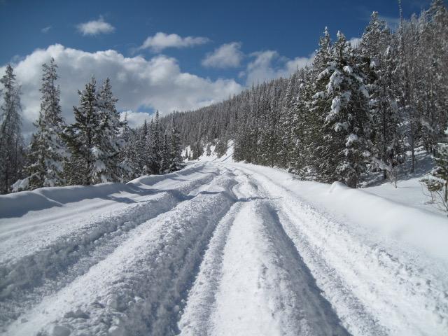
As Craig mentioned this morning, what a sleeper of a storm. Barely an inch at the trailhead, but as I gained elevation the new snow kept increasing with upwards of 20" maybe even two feet around Ruth Lake and Hayden Pass. Some of this could be from the Sunday storm, but it has been snowing up high and the upper elevation terrain looks really white and the coverage is quite good.
Red Flags
Red Flags
Heavy Snowfall
Red Flags Comments
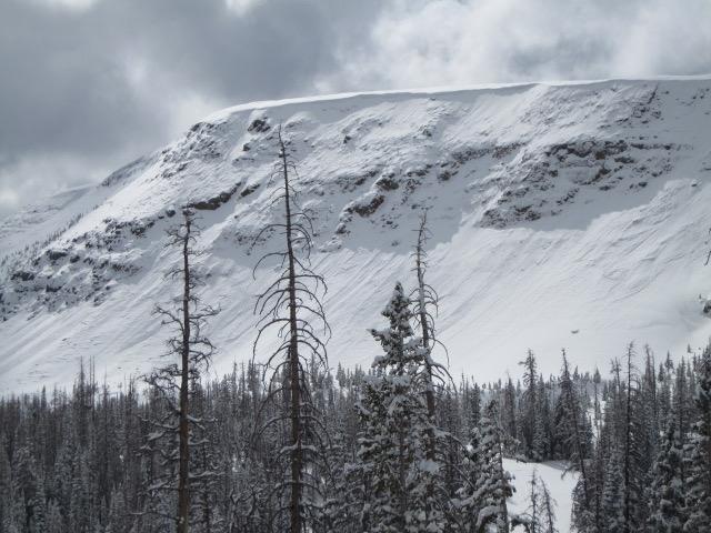
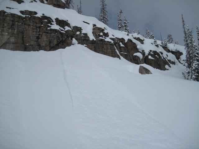
I really did not see much in the way of red flags today, however there was a widespread natural avalanche cycle with the rapid load of new snow. I did not observe any slides that broke into old deep layers and everything seem to involve the new surface snow. As this new snow gets it's first direct hit of sun the next few days, the hazard for wet sluffs will increase.
Avalanche Problem #1
Problem
New Snow
Trend
Decreasing Danger
Problem #1 Comments
I went with the new snow as the main concern today, I was totally surprised with the new snow amounts and things should settle out fairly quickly with the warmer temps. Would not be surprised to see some long running wet sluffs that could break into some deeper weak snow in those thin rocky areas.
Avalanche Problem #2
Problem
Wind Drifted Snow
Trend
Decreasing Danger
Problem #2 Comments
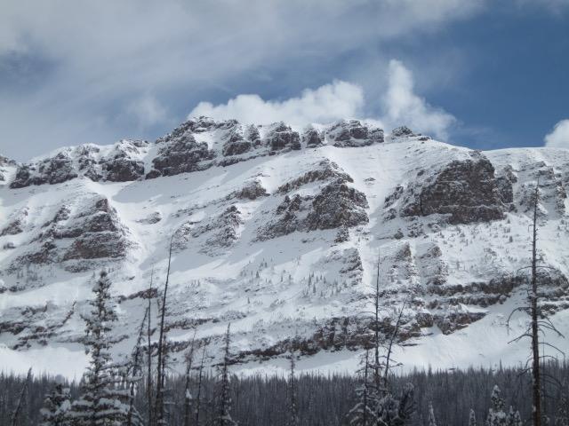
May be some lingering sensitive wind drifted snow along the ridge lines. All those east winds have sure changed the landscape with slopes that typically have bare rock are now white and filled in. I thought Murdock Peak was about the whitest I have seen it in awhile.
Comments
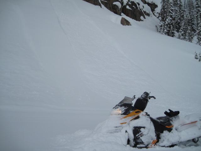
This recent storm snuck in, dropped over a foot of snow and left. The High Uintas look really good right now and the riding and turning were mid-winter like today with over the hood conditions.
There was a widespread natural avalanche cycle that happened during the height of the storm and many slopes have some decent long running new snow sluffs. I did not see any slide that broke deep into weaker snow.
Many of the road cuts I traveled by had these new snow sluffs that usually happen during the intense part of the storm and some of these were coming down from the sun warming the snow surface.
Today's Observed Danger Rating
Moderate
Tomorrows Estimated Danger Rating
Moderate
Coordinates