Observation: Moab

Observation Date
2/17/2021
Observer Name
Garcia, Nauman, Ament
Region
Moab
Location Name or Route
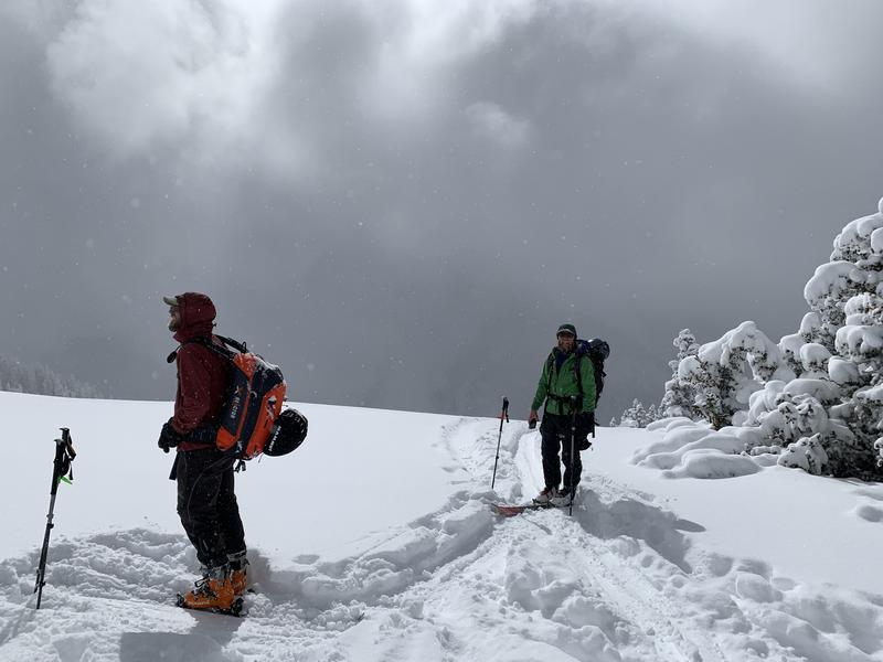
Laurel Highway/North Woods
Weather
Sky
Obscured
Precipitation
Moderate Snowfall
Wind Speed
Calm
Weather Comments
S1 snowfall all day with intermittent periods of S2. Just when it seemed like the snow was about to taper off, another round of moderate snowfall would move in. S2 snowfall was still coming down when we left the parking lot at 5 PM. Winds were calm all day even on the ridgelines.
Snow Characteristics
New Snow Depth
15"
New Snow Density
Low
Snow Surface Conditions
Powder
Snow Characteristics Comments
10" on the stake in gold basin at 4:15 PM and 15" new in the top of the north woods. This latest round of snow came in cold and with no wind. Classic 5% Utah fluff!
Red Flags
Red Flags
Heavy Snowfall
Poor Snowpack Structure
Red Flags Comments
Heavy Snowfall: 15 inches of snow in a 24 hour period and still snowing when we left. Enough new snow to be a red flag, but it came in light and without wind. If we don't get much more accumulation tonight, I'm not expecting to see new natural avalanche activity tomorrow. However, this storm was under forecasted and if we receive more snow, especially with wind over night, the danger will quickly rise. Poor Snowpack Structure: 15" will put a decent load on buried weak layers, but I'm thinking we got less than an inch of water given the low density of the new snow. It will take some winds blowing the new snow to push our buried weak layers past their breaking point.
Avalanche Problem #1
Problem
Persistent Weak Layer
Trend
Same
Problem #1 Comments
Like I said above, I'm not expecting to see new natural avalanche activity tomorrow based on the low density and lack of wind. This additional round of snow will once again have buried weak layers teetering at their breaking point and primed for human triggering on the NW through SE aspects harboring buried persistent weak layers.
Avalanche Problem #2
Problem
New Snow
Trend
Same
Problem #2 Comments
The new snow came in cold and light, and has not formed a slab. New snow avalanches, and point release avalanches will still be possible on all aspects in steep open terrain given 15" new, and more snow falling overnight. New snow avalanches will have the potential to step down and trigger deeper, more dangerous avalanches on any slope with a buried PWL.
Tomorrow's avalanche danger will be similar to today's forecast, unless we see an increase in winds or another round of big accumulations.
Today's Observed Danger Rating
Considerable
Tomorrows Estimated Danger Rating
Considerable
Coordinates