
Observation Date
2/3/2021
Observer Name
Bill Nalli
Region
Salt Lake » Big Cottonwood Canyon » 10420
Location Name or Route
10,420
Comments
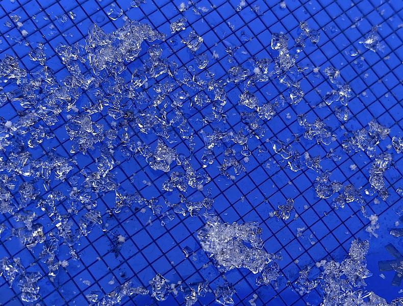
The old snow surface below about 10K' was a sun and temperature crust on E thru SW aspects. For some reason, W aspects seem to have less of this crust in most areas. The initial snow that fell was a good helping of graupel and this aided ski conditions right away. Pics of graupel (now buried 4" or so) and old snow surface crust on a SW aspect at 9200'.
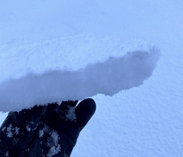
Obvious new windslabs exist below ridgelines and cross-loaded terrain features. If this were our only problem it would still be worthy of caution but clearly there is more of concern. The junk in the trunk depth hoar is lurking near the ground and the potential avalanche size is increasing with every storm. I've used this analogy with some friends. Imagine the snowpack is like the classic Red Rider BB gun rifle. It's taking aim and slowly pulling back the cocking lever with each storm. Eventually that trigger is gonna get pulled. I'm continuing to choose to not shoot my eye out by staying off of steep slopes. Pic below of windslab on the east side of 10,420.
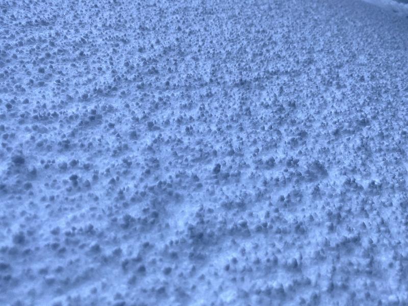
I'm starting to find just a bit of good news with the increasing snow depth. HS is now averaging 1 to 1.5 meters in most places and with that I'm beginning to see some rounding and sintering in the weak layers. This is not to say I think we may be out of the woods any time soon but you've got to start somewhere. Pit below is NW facing at 9300'. These mid elevations may have strengthened from the recent warm temps. Pic is of rounding clusters of depth hoar.

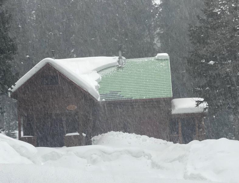
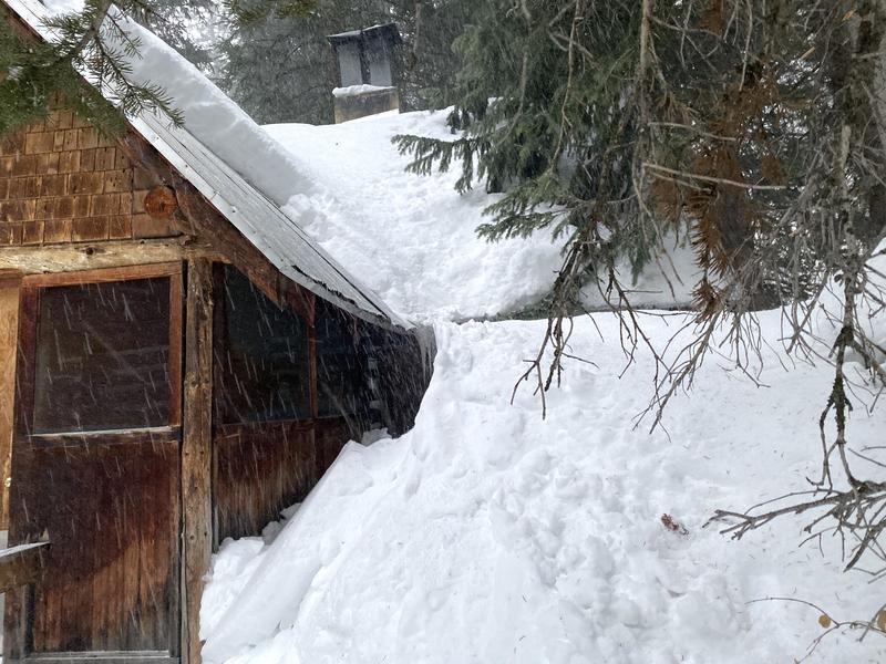
Lastly, I saw two sizable roof avalanches that appear to have failed Wednesday afternoon from the warm temps.
Today's Observed Danger Rating
Considerable
Tomorrows Estimated Danger Rating
Considerable
Coordinates


