Observation Date
1/23/2021
Observer Name
Ted Scroggin
Region
Uintas » Whitney Basin
Location Name or Route
Whitney Basin
Weather
Sky
Obscured
Precipitation
Light Snowfall
Wind Direction
Southwest
Wind Speed
Moderate
Weather Comments
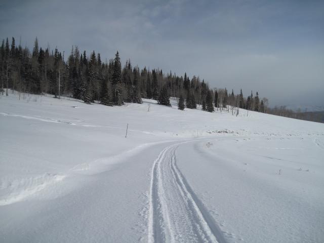
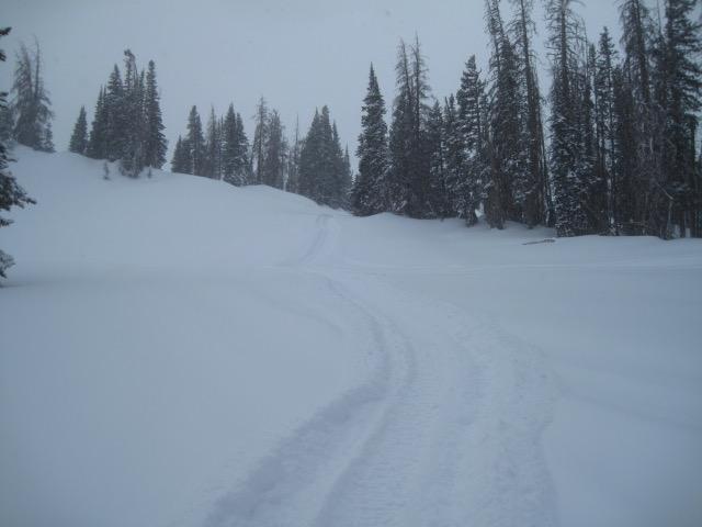
Seems like the north slope got skunked on this storm, only 2-3" at the north slope trail head, but higher up in the Whitney Basin around 8-10". There was light snow while I was out and the southwest winds were in the moderate range and drifting snow on the exposed ridges.
Snow Characteristics
New Snow Depth
8"
New Snow Density
Medium
Snow Surface Conditions
Powder
Wind Crust
Snow Characteristics Comments
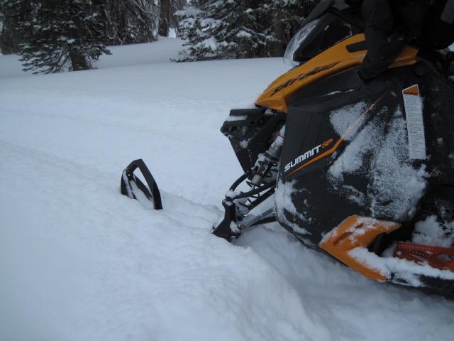
This might have been more of a south slope storm with the snow totals higher on that end of the range. It was a nice refresher for the mid and higher elevations, I observed around 8" maybe 10" depending on where you were today. Some places the new snow rode more like a foot and it was nice to have a decent little storm. Anytime I got off the sled I was still sinking nearly to the ground in sugary snow.
Red Flags
Red Flags
Wind Loading
Cracking
Poor Snowpack Structure
Red Flags Comments
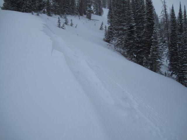
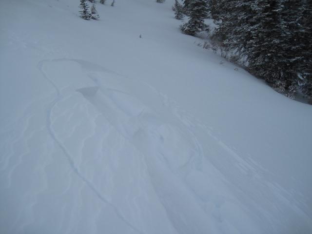
It was a day of changing avalanche conditions with 8-10" of medium density snow and fairly gusty winds blowing and drifting the new snow. I did not have great visibility to see if there was any slopes that avalanched naturally and it did not feel like the place "went off" with a lot of natural activity. The newly drifted snow would crack around 10-12" deep along the ridge lines and these were quite touchy and did not need much coaxing.
Avalanche Problem #1
Problem
Persistent Weak Layer
Trend
Increasing Danger
Problem #1 Comments
Not sure if the scales were tipped to the breaking point today, but throw in the wind and I would imagine many slopes are primed and the weak snow pack is feeling the stress.
Avalanche Problem #2
Problem
Wind Drifted Snow
Trend
Same
Problem #2 Comments
Fairly sensitive wind drifts breaking up to a foot deep on slopes north through east and southeast facing.
Comments
Kind of a disappointing storm around the north slope trail head, but as you gain some elevation in the Whitney Basin the new snow totals slowly increased. Felt like 6" or so riding in on the trail and once I got up around upper Meadow Creek I was finding a nice 8-10" with some places riding more like a foot.
These fresh drifts today were fairly sensitive as I approached them on exposed ridges and would break a foot deep or more. There is enough new snow now for the wind to continue to form these wind drifts that should still be reactive to a rider.
Today's Observed Danger Rating
Considerable
Tomorrows Estimated Danger Rating
Considerable
Coordinates