Observation: Park City Ridgeline

Observation Date
12/31/2020
Observer Name
Bruce Tremper
Region
Salt Lake » Park City Ridgeline
Location Name or Route
West Monitor and Scott's Hill
Weather
Sky
Overcast
Precipitation
Light Snowfall
Weather Comments
Light snow today with about an two added over the past 24 hours
Snow Characteristics
New Snow Depth
3"
New Snow Density
Low
Snow Surface Conditions
Powder
Snow Characteristics Comments
With these pulses of light snow over the past few days, they have all added up to about 3-5 inches of new snow, which has improved the turning quality. Very thin snowpack of about 50 cm (under 2 feet) on most shady slopes with very little snow on south facing slopes with patches between bushes and rocks. But turning conditions are quite good on low angled, shaded slopes out of the wind zones. There's the usual buried hazards of trees, brush and rocks but the mid snowpack is dense enough that you ride over everything remarkably well for such a thin snowpack.
Red Flags
Red Flags
Cracking
Collapsing
Poor Snowpack Structure
Red Flags Comments
The depth hoar is the main avalanche hazard. Everywhere we traveled on the shady slopes, we experienced collapsing about every 30-50 feet. Snowpit tests show very fragile depth hoar that fails upon isolation or with very weak provocation. The wind from a few days ago created sastrugi along the ridges and very localized areas of hard, deposited wind slabs that are not very sensitive anymore unless they have overloaded the depth hoar layers.
Avalanche Problem #1
Problem
Persistent Weak Layer
Trend
Same
Problem #1 Comments
With such a shallow snowpack (50 cm average) the snow is extremely spatially variable so it's very difficult to predict the stability from one spot to the next. All the north and northwest facing slopes in the tree glades of Scott's Hill the snowpack is all the usual 50 cm. and we experienced lots of collapsing snow everywhere and numerous hand pits plus two snowpits, showed extremely fragile and unstable snow where it was hard to isolate a column and you sneeze on the snow, it collapses and propagates. (See attached snowpits and video). We definitely stayed off of, and out from underneath any slopes of 30 degres or steeper. If we ever get any significant snow, everything is going to rock and roll. But things are quite spatially variable, like I say, My snowpit yesterday at lower elevations in West Monitor (see attached) was almost a meter deep because the wind deposits a little more snow on the lea of a low elevation spur ridge and my snowpit tests were not showing any propagation.
Snow Profile
Aspect
Northwest
Elevation
9,200'
Slope Angle
20°
Comments
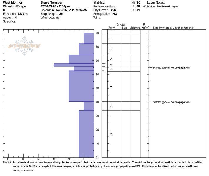
A stronger profile from a deeper snowpack area.
Video
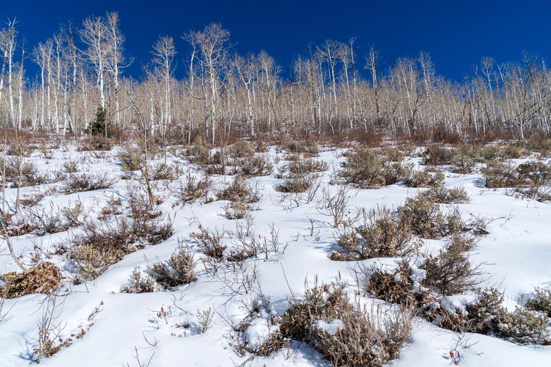
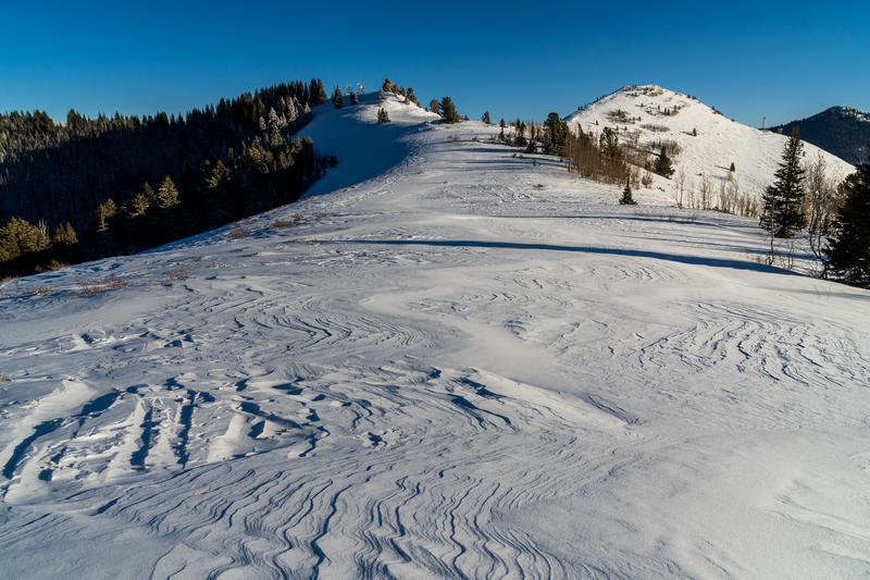
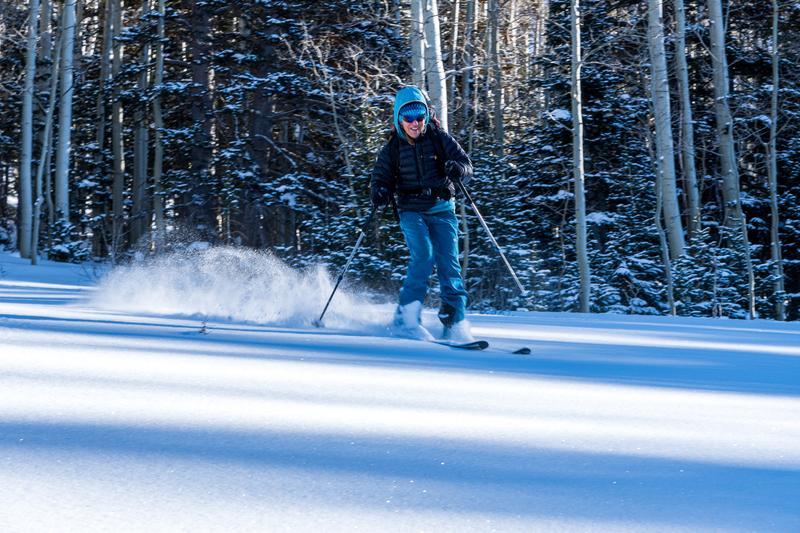
These photos were from 2 days ago when it was sunny.
1) South facing slopes are mighty skimpy.
2) Ridges are soured sastrugi, that snow is deposited into localized, hard wind slabs below the ridges.
3) Turning conditions are good on low angled, shady slopes out of the wind but watch for buried obstacles.
Today's Observed Danger Rating
Considerable
Tomorrows Estimated Danger Rating
Considerable