Observation: Cutler Ridge

Observation Date
12/30/2020
Observer Name
Hardesty and DeBruin
Region
Ogden » Ben Lomond » Cutler Ridge
Location Name or Route
Cutler Ridge
Weather
Sky
Overcast
Wind Direction
West
Wind Speed
Moderate
Weather Comments
Clear, rapidly becoming overcast. Cold start - single digits - at the trailhead. West winds picked up just before noon, blowing some snow onto east aspects, but no associated wind slabs. We saw a few snowflakes around noon but that was about it.
Snow Characteristics
New Snow Depth
3"
New Snow Density
Low
Snow Surface Conditions
Faceted Loose
Wind Crust
Snow Characteristics Comments
Cold and clear has taken its toll on the snow surface. The low density new snow from the 26th (3-6"), capped by graupel, is rapidly faceting. 3mm surface hoar now exists in the mid and low elevations.
Weak snow surface almost wanted to sluff with provocation on steep terrain, particularly at the mid/low elevations.
Red Flags
Red Flags
Cracking
Collapsing
Poor Snowpack Structure
Red Flags Comments
We experienced a good collapse and 45' propagating crack just south/east of the Bailey Springs avalanches (from Dec 20th) on a north-northeast facing slope at 8560'. General snow structure is quite poor at all elevations. Mid/low elevations have weak snow above a good bed surface, waiting for a slab. Upper elevations are a bit more complex and variable but still have very weak snow above and below a thin mf crust, roughly 30-45cm down.
Avalanche Problem #1
Problem
Persistent Weak Layer
Trend
Decreasing Danger
Problem #1 Comments
We noted weak snow structure nearly everywhere on northwest to east facing aspects with myriad depth hoar, facets, crusts, and more facets.
Low elevation shady aspects (NW>E) have about 30cm of snow with 10cm of facets/faceting snow and SH above a thin crust, sitting above more facets which in turn sits above a thick mf crust.
Mid elevation shady aspects have 45 cms with a similar set-up; although the top 10cm of weak snow has variations of hard wind crusts as a bed surface instead of a crust.
The upper elevations are similar with depths to 60-70cm. Wind drifted areas up to 1m.

The more general collapsing seems to have diminished from only a couple days ago...and despite poor structure, the snow pack has started to slowly adjust. The last reported avalanche was from the 20th (Bailey Spr).
That said, I did collapse the slope adjacent to the Bailey Springs avalanches on 2.5mm facets above a 1cm thermal crust. (See pics). In the first photo, you can see where it collapsed 45cm down to the very weak facets above the crust.
This area is a bit more wind loaded than other areas; although thin hard wind "slabs" were noted in many areas down to the mid elevations from prior wind events.
Comments
Photos:
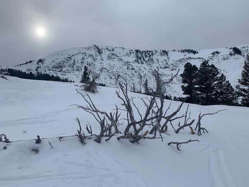
Old dead tree at Dead Tree Knob, presumably downed from the autumn east wind event.
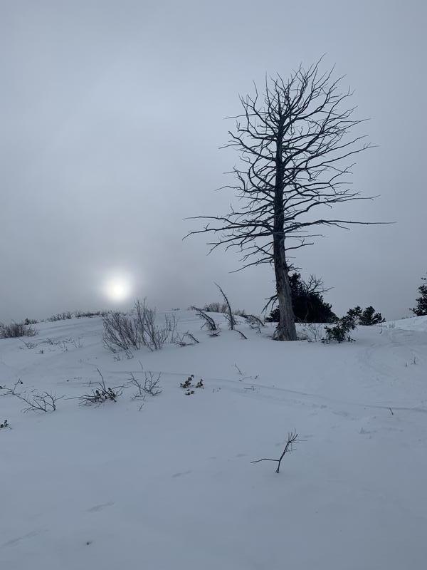
New dead tree at Dead Tree Knob
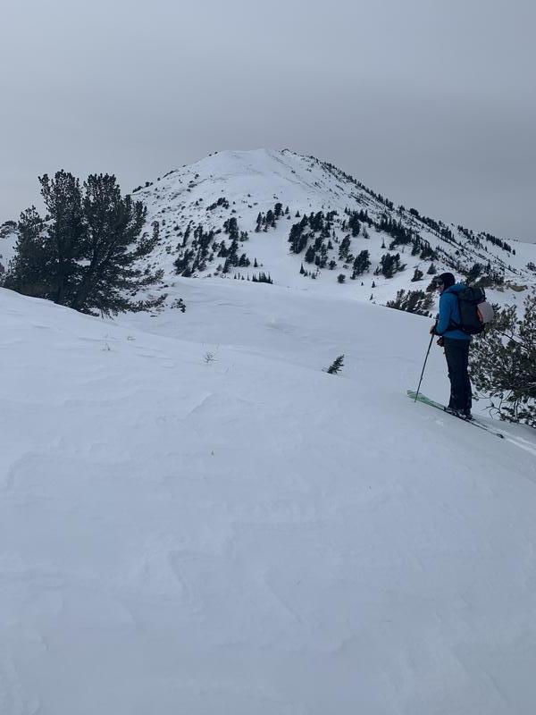
Upper elevations hammered by the recent north and east winds. A lot of south and southwest are thin and threadbare.
Today's Observed Danger Rating
Moderate
Tomorrows Estimated Danger Rating
Moderate
Coordinates