Observation Date
3/9/2020
Observer Name
Grainger, Young, Dromgoole
Region
Provo » Box Elder
Location Name or Route
Box Elder
Weather
Sky
Overcast
Wind Direction
Southwest
Wind Speed
Light
Weather Comments
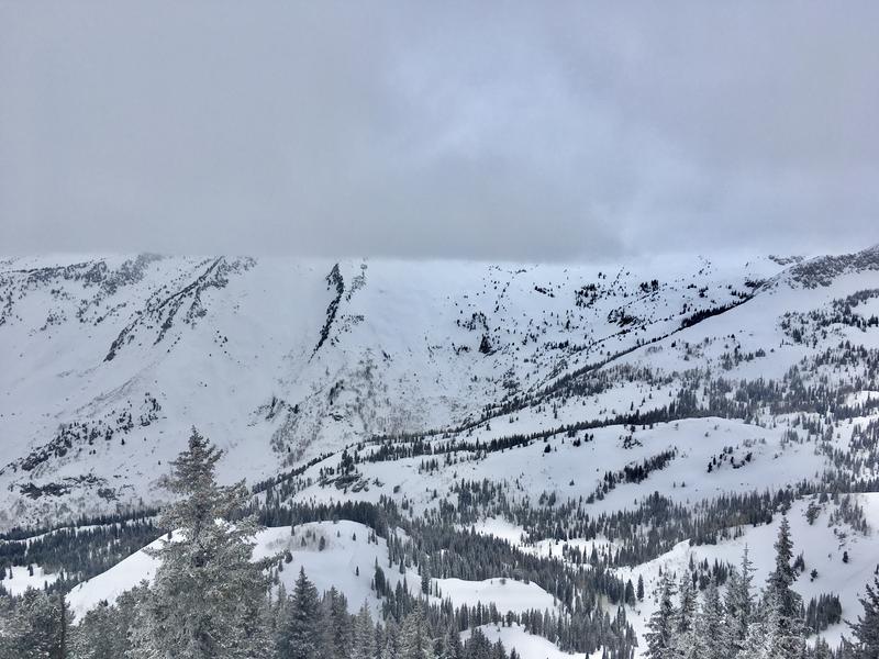
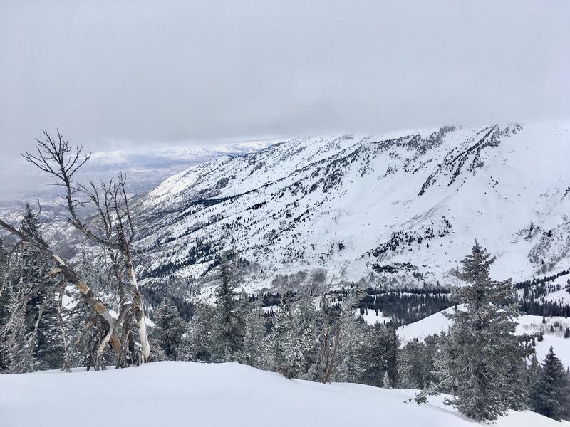
Light ridgetop winds throughout the day with a substantial cloud ceiling parked at 10,500' until mid-afternoon. This cloud deck and warm ambient temps. greenhoused many mid and low elevation slopes and new wet-loose releases were visible in low steeper terrain, all aspects, by end of day. Sunday overnight winds created isolated wind slabs SW through E along ridgetops.
Snow Characteristics
New Snow Depth
5"
New Snow Density
High
Snow Surface Conditions
Dense Loose
Melt-Freeze Crust
Snow Characteristics Comments
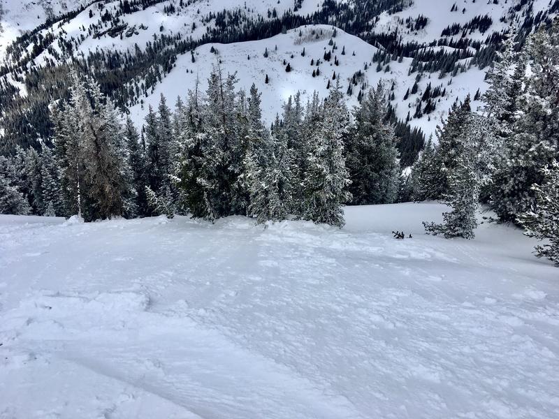
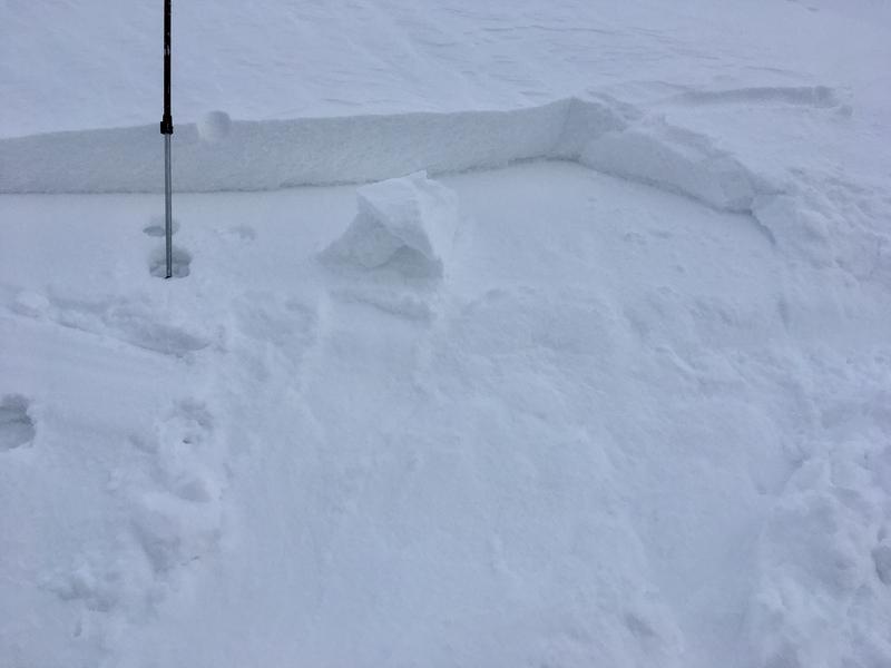
New snow in Dry Creek/Deer Creek had settled to ~2" at 8000' and ~5" in sheltered areas above 10,000'. The relatively high density Sunday snow bonding moderately-well to solar crusts on many aspects. Overnight winds slabbed up isolated pieces of exposed ridgeline snow and scoured many high Southerly aspects. These wind slabs were 2-8" deep, had little connectivity and were easily manageable with skis. Sluffing on steep slopes still warrants attention, sluffs are less prevalent than Sunday but still long-running on many areas' solar crust surface.
Comments
Isolated wind slabs running on crusts. SW-facing (photo 2) to NE (photo 1) to E-facing. Observed these more along the windward side of the Box Elder ridgeline than the lee.
This fat cloud ceiling sat at 10,500' for much of the day and slightly dissipated by mid-afternoon. Contributed to greenhousing surface snow.
Today's Observed Danger Rating
Low
Tomorrows Estimated Danger Rating
Low
Coordinates


