Observation Date
1/8/2020
Observer Name
jg
Region
Uintas
Location Name or Route
Weber Canyon
Comments
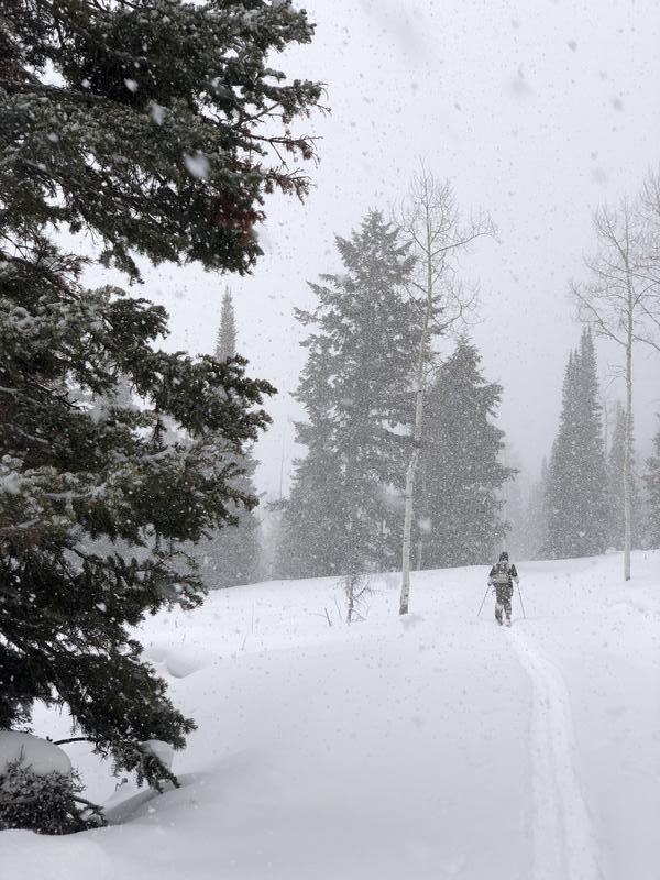
Traveled the north half of the compass from 7,400-10,200. Snow depths were about 2-4 feet so still low tide where I was traveling. Although snow depths were relatively shallow the pack is supportable and skis deeper than it should for the Uintas.
No results in pit tests other than identifying the old snow/new snow as the most reactive layer in the pack, failing on small faceted grains. If we keep getting more water weight on this layer we may start seeing avalanches in the storm storm snow.
Snowpack structure is poor and the weak snow at the ground is still a concern, especially as we get more water weight added to the snowpack over the next week.
My thermometer was not working so I have no temp profile but, based on snow depth, snow hardness and looking at snow grains, it seems the mid and upper portion of the pack has been experiencing a temperature gradient the hasn't allowed for great sintering in theses layers.
The forecast calls for on and off snow/water for the next week so we'll be dealing with a day to day dynamic the next week, based on how much snow and wind we get each day.
The avalanche danger should be increasing as we get more snow.
Today's Observed Danger Rating
Moderate
Tomorrows Estimated Danger Rating
Moderate


