Observation: Cutler Ridge

Observation Date
1/8/2020
Observer Name
Derek DeBruin
Region
Ogden » Ben Lomond » Cutler Ridge
Location Name or Route
Ben Lomond, Cutler Ridge, Dead Tree
Weather
Sky
Obscured
Precipitation
Light Snowfall
Wind Direction
Northwest
Wind Speed
Light
Weather Comments
Trailhead temp of just above freezing at roughly 1130am when we began our quick tour, and still above freezing upon our return at 230pm. Sky was overcast to fully socked in depending on elevation, which limited visibility; near 8000ft visibility was perhaps 100ft at times. Snowfall was episodic varying from next to nothing to S2, and featuring rime forms of one kind or another. We saw a bit of small (<1mm) rimed stellars, 2ish mm, graupel, and at times largr graupel clusters. Wind was light most of the tour; around 2pm the wind shifted pretty rapidly and dramatically to the northwest, increasing speed a bit and visibly transporting snow.
Snow Characteristics
New Snow Depth
3"
New Snow Density
Medium
Snow Surface Conditions
Powder
Dense Loose
Snow Characteristics Comments
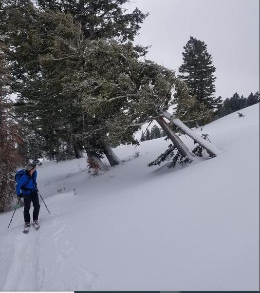
We started the tour with about 5cm of new snow already on the ground, beginning to fill in the old tracks and wind effects; another couple cm fell during the tour, thought snowfall seemed to be tapering. New snow was medium density, not really moist, but would stick together just a bit if pressed.
Went hunting for crusts in the old snow surface and came up short. At low elevation, there was just the barest hint of melt freeze crust, but I suspect temperatures just didn't quite dip low enough to make a hard freez . At mid elevation, even on some southerly aspects around 8000ft or so there was sufficient work by the wind to make this the dominating factor, with any refreeze on the surface prior to the new snow indistinguishable underneath one's skis.
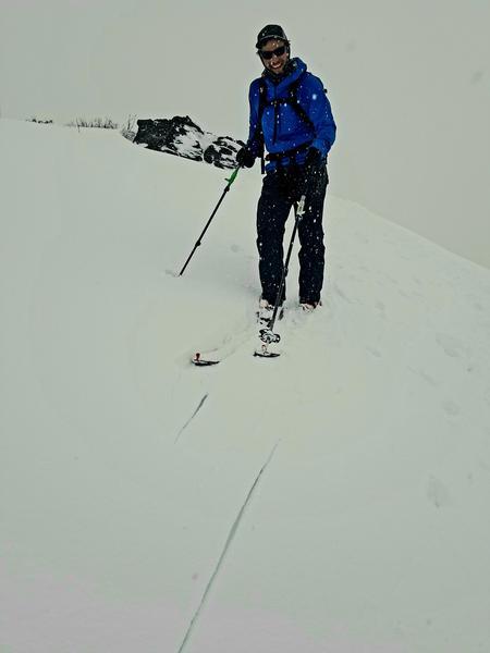
Instead, we found plenty of wind blown snow creating a surface layer of firm (1F to P in most places) but damp snow beneath the new precipitation. The new snow was not bonding well to this surface, demanding scribing while sidehilling on the uphill to avoid slipping out. Surface snow sluffs were not long running. We did manage to cause the slightest bit of cracking in the surface storm slab, but this appeared to be a one-off event (see photo). A NE facing test slope just above 8000ft yielded nothing of note.
Comments
Minor cracking in the surface storm snow, which is bonding poorly to the old snow surface.
The wind was clearly at work the last few day, perhaps best evidenced by the recent collapse of this otherwise healthy conifer around 7600ft.
Today's Observed Danger Rating
Moderate
Tomorrows Estimated Danger Rating
Moderate