Observation: Butler Basin

Observation Date
1/7/2020
Observer Name
Champion & Meisenheimer
Region
Salt Lake » Big Cottonwood Canyon » Butler Fork » Butler Basin
Location Name or Route
Ridgeline above Butler Basin
Weather
Sky
Clear
Wind Direction
Southwest
Wind Speed
Calm
Weather Comments
Beautiful bluebird day, calm winds during our tour. Could see increased SW winds at ridgetops near 11k.
Snow Characteristics
Snow Surface Conditions
Powder
Wind Crust
Melt-Freeze Crust
Damp
Snow Characteristics Comments
A variety of snow surfaces today. Most north-facing aspects still holding soft snow, leading to great skiing conditions. Some upper elevation north facing terrain has a wind crust, pillows or growing cornices.
South-facing terrain started the morning with a melt-freeze crust, damp by the afternoon, and beginning to refreeze in the shade by the time we started our exit.
Some southerly terrain near ridgelines were scoured due to recent winds.
Red Flags
Red Flags
Recent Avalanches
Wind Loading
Poor Snowpack Structure
Red Flags Comments
South aspects were the suspect today. Right away we saw a lot of sluffs on steep south-facing aspects, primarily coming off of features like rocks and trees. Sometime around 1 pm, a natural slab avalanche released on the steep south-facing terrain below Gobblers Knob. From a distance, the crown of this appeared to be somewhere between 12-18 inches deep leading us to believe it occurred on the facet crust interface that formed between Christmas and New Years. This further confirms that a poor snow structure exists on steep southern aspects. At ridgelines, we also saw both scouring and cornices, as well as signs of pillows and wind drifted snow. The wind was calm during most of our tour, and light at ridgelines - but in the distance, we could see plumes off of high peaks.
Avalanche Problem #1
Problem
Persistent Weak Layer
Problem #1 Comments
We have an uncommon snowpack structure occurring right now. Southeast to southwest facing mid and upper elevation terrain has a thin layer of facets sitting atop a melt-freeze crust. This persistent weak layer is sitting anywehere between 12-18 inches down in the snowpack. The trickiest thing about this layer is the overall consistenty and uncertainity. It seems to primarily be focused on Southeast to Southwest facing terrain, but we have not been able to fully eliminate west facing terrain yet. The easiest way to look for this layer is to stick your shovel blade in the snow, and do a quick ECT.
Today on a steep south-facing slope below gobblers knob a natural slab avalanche occurred sometime around 1 pm. While we were unable to get to the crown of this avalanche, from a distance it appeared to be somewhere between 12-18 inches deep. This combined with the information we already know about the snowpack structure, leads us to believe that this natural avalanche occurred in the thin layer of facets above the melt-freeze crusts. If natural avalanches are occurring, an unstable snowpack structure exists. If we begin to add more snow and water to this, I expect to see more activity on the south-facing terrain. Take the time to do your homework, look for this layer and be conservative on the south-facing terrain.
Photo of Natural Avalanche below Gobblers Knob.
Avalanche Problem #2
Problem
Wind Drifted Snow
Trend
Same
Problem #2 Comments
There is still a lingering problem of wind drifted snow. As we were ascending the ridgeline the steep north-facing terrain had cornices, rounded and pillowy looking snow directly below the ridgeline. We still didn't feel comfortable stepping out into that steep terrain and opted to stay directly on the ridgeline.
Southwest winds picked up into the afternoon at the highest of ridgelines, we could see plumes at upper elevations. I would expect growing wind drifts at the highest of ridgelines, and exposed terrain above 10k.
Photo of high ridgetop plumes.
Comments
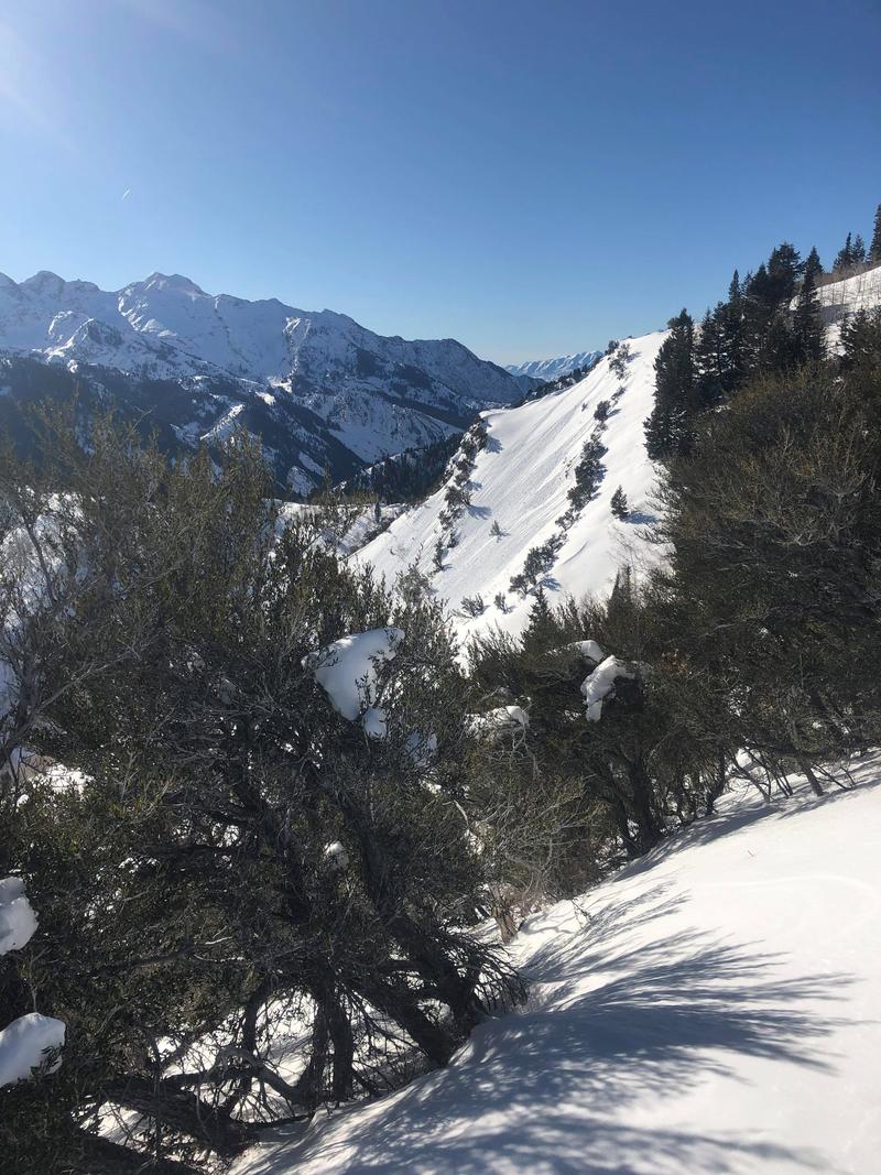
Another concern we had today was loose wet avalanches primarily small wet sluffs. We saw a lot of signs of wet sluffs today on steep south-facing aspects, most of these were isolated to terrain with a shallow snowpack or along rock bands or other features to draw heat. While these wet sluffs may not be large, they can be enough to knock someone off their feet and drag them through unforgiving terrain, over rocky features or into a terrain trap. Beyond the terrain, these wet sluffs and roller balls could be enough to trigger that a larger slab avalanche in the new PWL on the south-facing terrain.
Photos of wet sluffs on steep south-facing terrain.
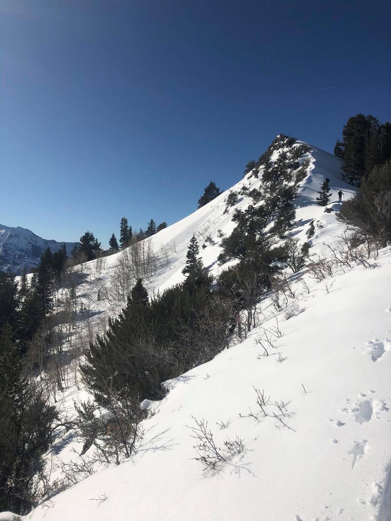
There is good news though!
North aspects have a generally stable snowpack, still, be thinking about wind and that early season PWL, and are holding onto soft snow. This is making for some great riding conditions on the north end of the compass. See the video below.
Today's Observed Danger Rating
None
Tomorrows Estimated Danger Rating
None